File:Bineteau, Nouvelle carte cycliste des environs de Paris, Fin du 19e siècle 3 - BHVP.jpg
Jump to navigation
Jump to search

Size of this preview: 759 × 600 pixels. Other resolutions: 304 × 240 pixels | 607 × 480 pixels | 972 × 768 pixels | 1,280 × 1,012 pixels | 2,014 × 1,592 pixels.
Original file (2,014 × 1,592 pixels, file size: 861 KB, MIME type: image/jpeg)
Captions
Captions
Add a one-line explanation of what this file represents
Summary
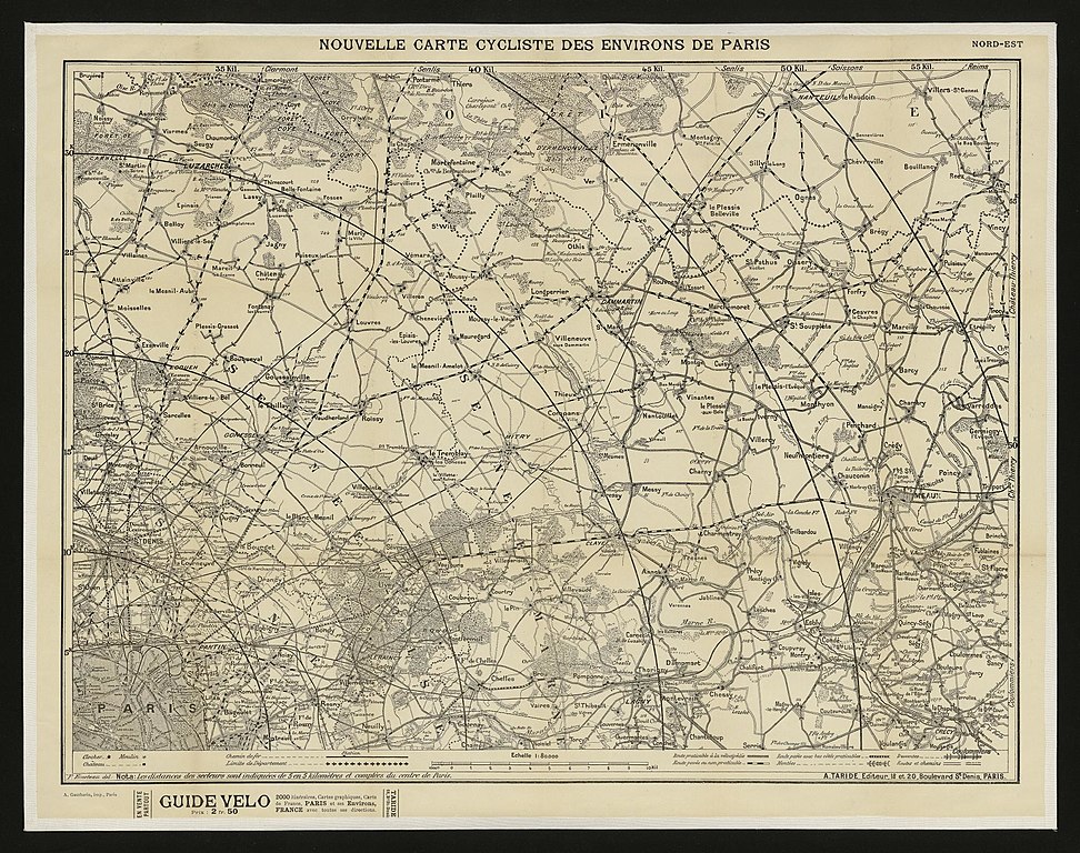
[edit]| Title |
Nouvelle carte cycliste des environs de Paris : (fin du 19e siècle) / P. Bineteau delt. |
||||||||||||||||||||
| Description |
English: An old map of Paris. |
||||||||||||||||||||
| Source | Portail des bibliothèques spécialisées de la Ville de Paris | ||||||||||||||||||||
| Creator |
P. Bineteau & A. Taride |
||||||||||||||||||||
| Geotemporal data | |||||||||||||||||||||
| Date depicted | End of the 19th century | ||||||||||||||||||||
| Map location | Paris | ||||||||||||||||||||
| Georeferencing | If inappropriate please set warp_status = skip to hide. | ||||||||||||||||||||
| Bibliographic data | |||||||||||||||||||||
| Language | French | ||||||||||||||||||||
| Place of publication | Paris | ||||||||||||||||||||
| Publisher |
Paris : A. Taride éditeur |
||||||||||||||||||||
| Archival data | |||||||||||||||||||||
| Collection |
|
||||||||||||||||||||

Licensing
[edit]
|
This work is in the public domain in its country of origin and other countries and areas where the copyright term is the author's life plus 100 years or fewer. | |
| This file has been identified as being free of known restrictions under copyright law, including all related and neighboring rights. | |
File history
Click on a date/time to view the file as it appeared at that time.
| Date/Time | Thumbnail | Dimensions | User | Comment | |
|---|---|---|---|---|---|
| current | 06:12, 26 January 2020 | | 2,014 × 1,592 (861 KB) | Paris 16 (talk | contribs) | User created page with UploadWizard |
You cannot overwrite this file.
File usage on Commons
The following page uses this file: