File:Bifcha 2.JPG
Jump to navigation
Jump to search

Size of this preview: 800 × 600 pixels. Other resolutions: 320 × 240 pixels | 640 × 480 pixels | 1,024 × 768 pixels | 1,280 × 960 pixels | 2,560 × 1,920 pixels | 3,648 × 2,736 pixels.
Original file (3,648 × 2,736 pixels, file size: 4.27 MB, MIME type: image/jpeg)
Captions
Captions
Add a one-line explanation of what this file represents
Summary
[edit]
| Description |
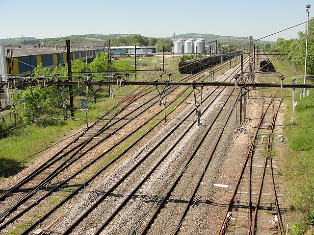
Français : Bifurcation de Chagny (Saône-et-Loire) - le triage des Creusottes.
Français : La déviation ferroviaire de Chagny (Saône et Loire) contourne la ville par l'ouest, en longeant la Z.I. des Creusottes. Un petit triage y est aménagé, et la traversée de l'ensemble est limitée à 80 km/h. |
| Date | |
| Source | Own work |
| Author | Julien Bertrand |
| Camera location | | View this and other nearby images on: OpenStreetMap |
|---|
Licensing
[edit]
| I, the copyright holder of this work, release this work into the public domain. This applies worldwide. In some countries this may not be legally possible; if so: I grant anyone the right to use this work for any purpose, without any conditions, unless such conditions are required by law. |
File history
Click on a date/time to view the file as it appeared at that time.
| Date/Time | Thumbnail | Dimensions | User | Comment | |
|---|---|---|---|---|---|
| current | 18:19, 8 October 2010 | | 3,648 × 2,736 (4.27 MB) | Julbert1980 (talk | contribs) | {{Information |Description={{fr|1=Bifurcation de Chagny (Saône-et-Loire) - le triage des Creusottes.}} |Source=Travail personnel |Author=Julien Bertrand |Date=2010-05-23 |Permission= |other_versions= }} |
You cannot overwrite this file.
File usage on Commons
The following 3 pages use this file:
.JPG&redirect=no)
File usage on other wikis
The following other wikis use this file:
- Usage on fr.wikipedia.org
- Usage on zh.wikipedia.org