File:Bielawy (gmina) location map.png
Original file (2,227 × 1,774 pixels, file size: 614 KB, MIME type: image/png)
Captions
Captions
Summary
[edit]_location_map.png&action=edit§ion=1)
| Description |
English: Location map |
| Date | |
| Source | Own work |
| Author | Smat |
| Description |
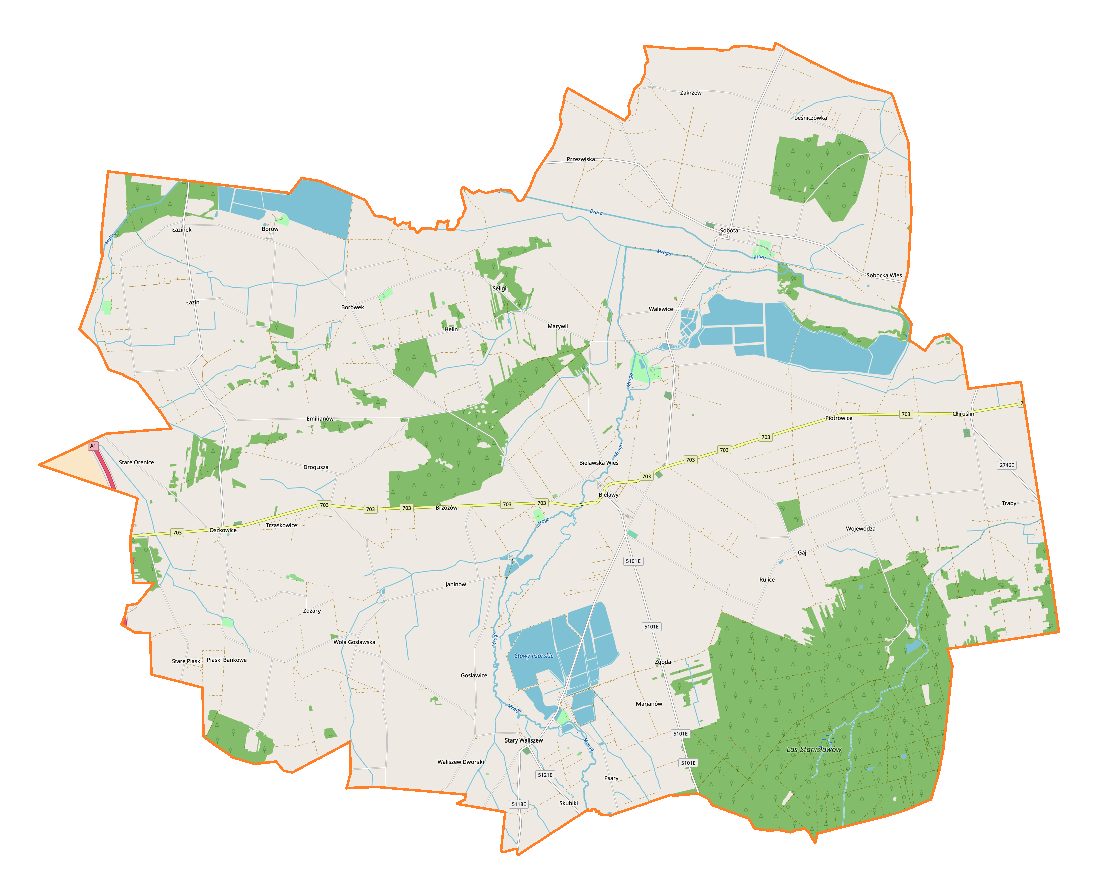
Polski: Mapa gminy Bielawy, Polska
English: Map of Bielawy (gmina), Poland |
|||||||||
| Date | ||||||||||
| Source | You may find a page on the OpenStreetMap wiki page for Bielawy (gmina) | |||||||||
| Creator |
OpenStreetMap contributors OpenStreetMap contributors |
|||||||||
| Permission (Reusing this file) |
OpenStreetMap data is available under the Open Database License (details). Map tiles are licensed under the Creative Commons Attribution-ShareAlike 2.0 license (CC-BY-SA 2.0).
This file is licensed under the Creative Commons Attribution-Share Alike 2.0 Generic license.
|
|||||||||
| Geotemporal data | ||||||||||
| Bounding box |
|
|||||||||
| Georeferencing | If inappropriate please set warp_status = skip to hide. | |||||||||
Licensing
[edit]_location_map.png&action=edit§ion=2)
| This work contains information from OpenStreetMap, which is made available under the Open Database License (ODbL).
The ODbL does not require any particular license for maps produced from ODbL data. Prior to 1 August 2020, map tiles produced by the OpenStreetMap Foundation were licensed under the CC-BY-SA-2.0 license. Maps produced by other people may be subject to other licences. |
File history
Click on a date/time to view the file as it appeared at that time.
| Date/Time | Thumbnail | Dimensions | User | Comment | |
|---|---|---|---|---|---|
| current | 19:13, 3 November 2017 | | 2,227 × 1,774 (614 KB) | Smat (talk | contribs) | User created page with UploadWizard |
You cannot overwrite this file.
File usage on Commons
There are no pages that use this file.
File usage on other wikis
The following other wikis use this file:
- Usage on pl.wikipedia.org
- Bielawska Wieś
- Bogumin (województwo łódzkie)
- Chruślin
- Drogusza
- Helin
- Łazin
- Marywil (województwo łódzkie)
- Oszkowice
- Piaski Bankowe
- Przezwiska
- Rulice
- Seligi
- Skubiki
- Sobocka Wieś
- Stary Waliszew
- Stare Orenice
- Traby (Polska)
- Trzaskowice (województwo łódzkie)
- Waliszew Dworski
- Wojewodza
- Wola Gosławska
- Borówek (województwo łódzkie)
- Janinów (powiat łowicki)
- Leśniczówka (województwo łódzkie)
- Sobota (wieś w województwie łódzkim)
- Bielawy (powiat łowicki)
- Borów (wieś w powiecie łowickim)
- Brzozów (powiat łowicki)
- Emilianów (powiat łowicki)
- Gaj (powiat łowicki)
- Gosławice (powiat łowicki)
- Marianów (powiat łowicki)
- Piotrowice (powiat łowicki)
- Psary (wieś w powiecie łowickim)
- Stare Piaski (powiat łowicki)
- Walewice (wieś w powiecie łowickim)
- Zakrzew (powiat łowicki)
- Zgoda (powiat łowicki)
- Żdżary (powiat łowicki)
- Parafia Nawiedzenia Najświętszej Maryi Panny w Bielawach
- Parafia Świętych Apostołów Piotra i Pawła w Sobocie (diecezja łowicka)
- Sobota (stacja kolejowa)
- Borów (osada w powiecie łowickim)
- Mroga (województwo łódzkie)
- Psary (osada w powiecie łowickim)
- Sobota (osada w województwie łódzkim)
- Stanisławów (SIMC 1039240)
- Stanisławów (SIMC 0724755)
- Walewice (osada w powiecie łowickim)
- Cmentarz żydowski w Bielawach
View more global usage of this file.
_location_map.png)
_location_map.png&oldid=852978894)