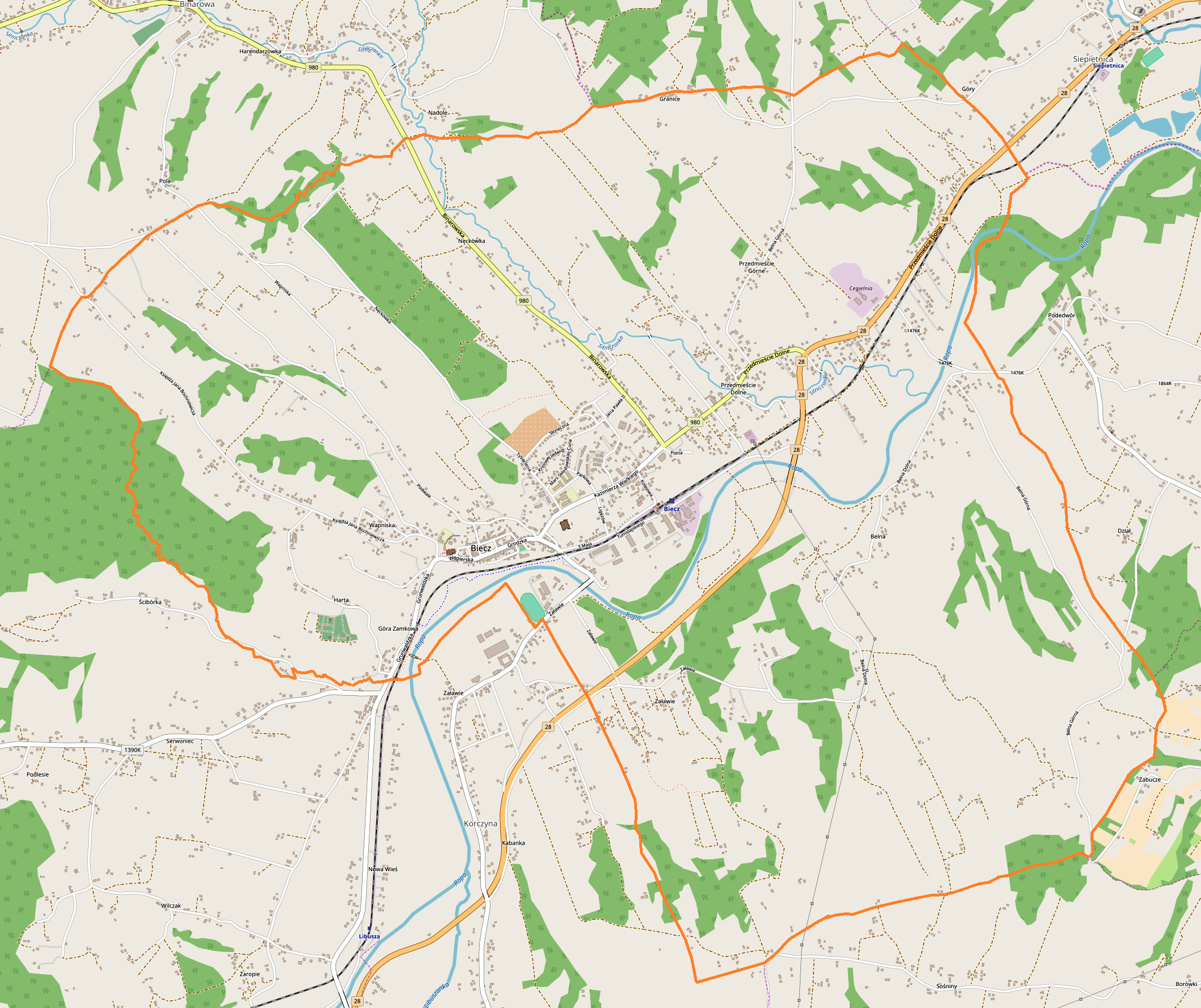
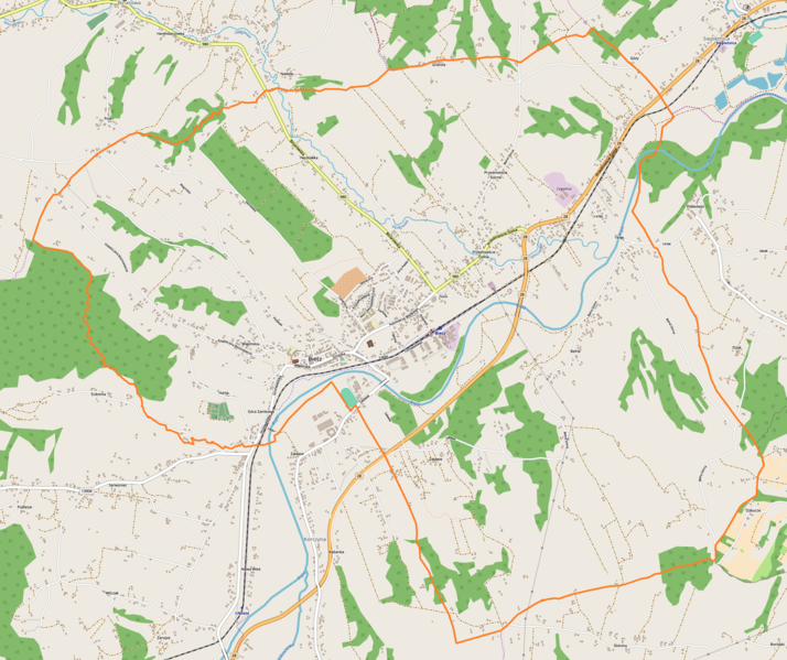
File:Biecz location map.png
Original file (2,123 × 1,782 pixels, file size: 1.77 MB, MIME type: image/png)
Captions
Captions
Summary
[edit]
| Description |
English: Location map |
| Date | |
| Source | Own work |
| Author | Smat |
| Description |
Polski: Mapa Biecza, Polska
English: Map of Biecz, Poland |
|||||||||
| Date | ||||||||||
| Source | You may find a page on the OpenStreetMap wiki page for Biecz | |||||||||
| Creator |
OpenStreetMap contributors OpenStreetMap contributors |
|||||||||
| Permission (Reusing this file) |
OpenStreetMap data is available under the Open Database License (details). Map tiles are licensed under the Creative Commons Attribution-ShareAlike 2.0 license (CC-BY-SA 2.0).
This file is licensed under the Creative Commons Attribution-Share Alike 2.0 Generic license.
|
|||||||||
| Geotemporal data | ||||||||||
| Bounding box |
|
|||||||||
| Georeferencing | If inappropriate please set warp_status = skip to hide. | |||||||||
Licensing
[edit]
| This work contains information from OpenStreetMap, which is made available under the Open Database License (ODbL).
The ODbL does not require any particular license for maps produced from ODbL data. Prior to 1 August 2020, map tiles produced by the OpenStreetMap Foundation were licensed under the CC-BY-SA-2.0 license. Maps produced by other people may be subject to other licences. |
File history
Click on a date/time to view the file as it appeared at that time.
| Date/Time | Thumbnail | Dimensions | User | Comment | |
|---|---|---|---|---|---|
| current | 17:06, 28 February 2018 | | 2,123 × 1,782 (1.77 MB) | Smat (talk | contribs) | User created page with UploadWizard |
You cannot overwrite this file.
File usage on Commons
There are no pages that use this file.
File usage on other wikis
The following other wikis use this file:
- Usage on pl.wikipedia.org
- Kolegiata Bożego Ciała w Bieczu
- Ratusz w Bieczu
- Kościół i klasztor franciszkański w Bieczu
- Szpital Świętego Ducha w Bieczu
- Budynek grodu starościńskiego w Bieczu
- Dom Barianów-Rokickich w Bieczu
- Dom zbója Becza
- Synagoga w Bieczu
- Biecz (stacja kolejowa)
- Ulica Grodzka w Bieczu
- Rynek w Bieczu
- Parafia św. Anny w Bieczu
- Parafia Bożego Ciała w Bieczu
- Ulica Podwale w Bieczu
- Cmentarz żydowski w Bieczu
- Liceum Ogólnokształcące im. Stanisława Wyspiańskiego w Bieczu
- Cmentarz wojenny nr 106 – Biecz
- Cmentarz wojenny nr 105 – Biecz
- Cmentarz wojenny nr 109 – Biecz
- Muzeum Ziemi Bieckiej w Bieczu
- Cmentarz wojenny nr 107 – Biecz
- Cmentarz wojenny nr 108 – Biecz
- Barbakan w Bieczu
- Moduł:Mapa/dane/Biecz
- Załawie (Biecz)
- Belna
- Przedmieście Dolne (Biecz)
- Przedmieście Górne (Biecz)
- Harta (Biecz)
- Granice (Biecz)
- Nęckówka
- Wapniska (Biecz)
- Usage on pl.wikibooks.org
- Usage on pt.wikipedia.org