File:Bichl-Sajat.jpg
Jump to navigation
Jump to search

Size of this preview: 780 × 600 pixels. Other resolutions: 312 × 240 pixels | 625 × 480 pixels | 999 × 768 pixels | 1,280 × 984 pixels | 1,747 × 1,343 pixels.
Original file (1,747 × 1,343 pixels, file size: 490 KB, MIME type: image/jpeg)
Captions
Captions
Add a one-line explanation of what this file represents
Summary
[edit]
 |
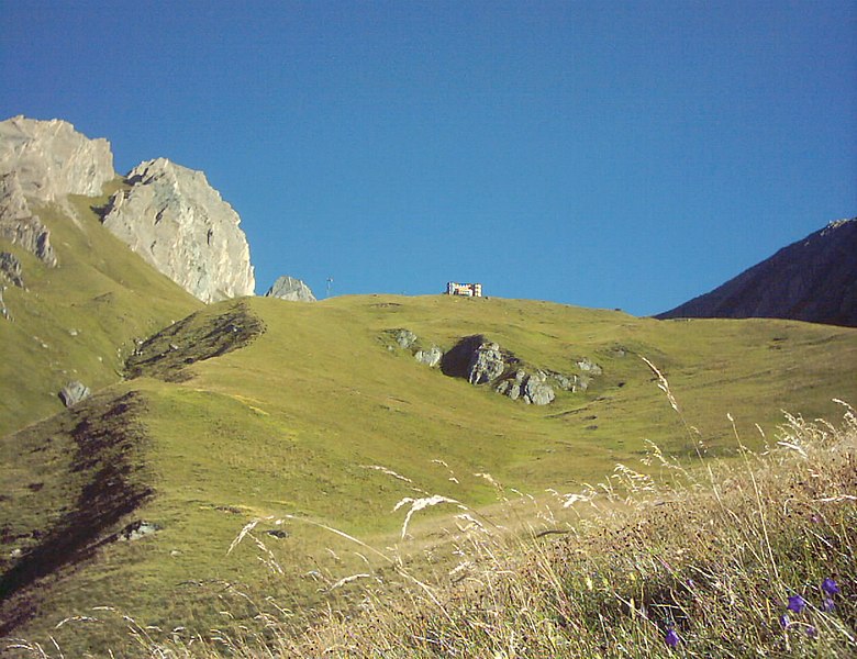
This file shows the National Park Hohe Tauern in Austria.
|
![]() Austria
Austria ![]() Land Tirol – Venedigergruppe 2.380 m ü. A. (Standort des Fotografen)
Land Tirol – Venedigergruppe 2.380 m ü. A. (Standort des Fotografen)
| Description | |
| Date | Taken on 4 August 2003, 08:20:00 |
| Source | Own work |
| Author | FkMohr, Fotograf Carsten Mohr. |
| Camera location | | View this and other nearby images on: OpenStreetMap |
|---|
OT {BC030804-0820}
Licensing
[edit]
Carsten Mohr, the copyright holder of this work, hereby publishes it under the following license:
This file is licensed under the Creative Commons Attribution-Share Alike 3.0 Germany license.
Attribution: Carsten Mohr
- You are free:
- to share – to copy, distribute and transmit the work
- to remix – to adapt the work
- Under the following conditions:
- attribution – You must give appropriate credit, provide a link to the license, and indicate if changes were made. You may do so in any reasonable manner, but not in any way that suggests the licensor endorses you or your use.
- share alike – If you remix, transform, or build upon the material, you must distribute your contributions under the same or compatible license as the original.

| Annotations | This image is annotated: View the annotations at Commons |
File history
Click on a date/time to view the file as it appeared at that time.
| Date/Time | Thumbnail | Dimensions | User | Comment | |
|---|---|---|---|---|---|
| current | 17:04, 21 July 2021 | | 1,747 × 1,343 (490 KB) | FkMohr (talk | contribs) | Uploaded own work with UploadWizard |
You cannot overwrite this file.
File usage on Commons
The following 3 pages use this file: