File:Biała (gmina w województwie łódzkim) location map.png

Original file (1,771 × 2,203 pixels, file size: 672 KB, MIME type: image/png)
Captions
Captions
Summary
[edit]_location_map.png&action=edit§ion=1)
| Description |
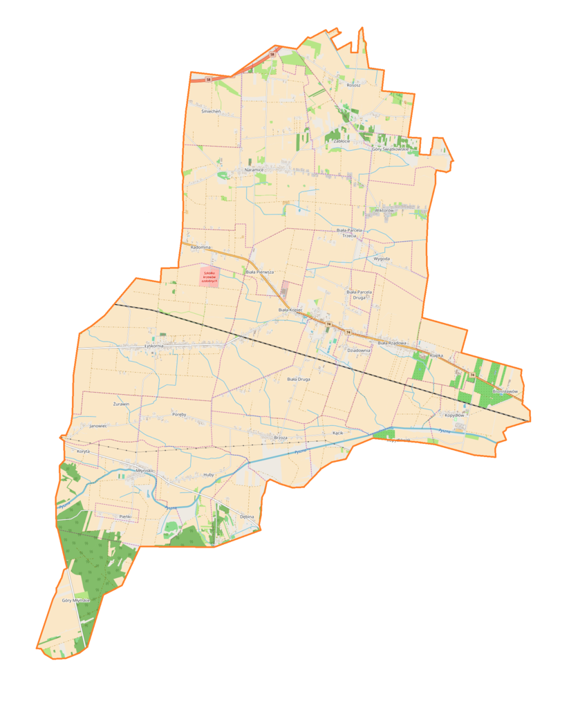
English: Location map |
| Date | |
| Source | Own work |
| Author | Smat |
| Description |
Polski: Mapa gminy Biała, Polska
English: Map of Biała (gmina w województwie łódzkim), Poland |
|||||||||
| Date | ||||||||||
| Source | You may find a page on the OpenStreetMap wiki page for Biała (gmina w województwie łódzkim) | |||||||||
| Creator |
OpenStreetMap contributors OpenStreetMap contributors |
|||||||||
| Permission (Reusing this file) |
OpenStreetMap data is available under the Open Database License (details). Map tiles are licensed under the Creative Commons Attribution-ShareAlike 2.0 license (CC-BY-SA 2.0).
This file is licensed under the Creative Commons Attribution-Share Alike 2.0 Generic license.
|
|||||||||
| Geotemporal data | ||||||||||
| Bounding box |
|
|||||||||
| Georeferencing | If inappropriate please set warp_status = skip to hide. | |||||||||
Licensing
[edit]_location_map.png&action=edit§ion=2)
| This work contains information from OpenStreetMap, which is made available under the Open Database License (ODbL).
The ODbL does not require any particular license for maps produced from ODbL data. Prior to 1 August 2020, map tiles produced by the OpenStreetMap Foundation were licensed under the CC-BY-SA-2.0 license. Maps produced by other people may be subject to other licences. |
File history
Click on a date/time to view the file as it appeared at that time.
| Date/Time | Thumbnail | Dimensions | User | Comment | |
|---|---|---|---|---|---|
| current | 13:03, 26 January 2018 | | 1,771 × 2,203 (672 KB) | Smat (talk | contribs) | User created page with UploadWizard |
You cannot overwrite this file.
File usage on Commons
There are no pages that use this file.
File usage on other wikis
The following other wikis use this file:
- Usage on de.wikipedia.org
- Usage on pl.wikipedia.org
- Biała Druga (województwo łódzkie)
- Naramice
- Biała-Kopiec
- Biała Rządowa
- Huby (województwo łódzkie)
- Klapka
- Kopydłów
- Łyskornia
- Radomina
- Śmiecheń
- Biała Pierwsza (województwo łódzkie)
- Janowiec (województwo łódzkie)
- Młynisko (powiat wieluński)
- Rososz (województwo łódzkie)
- Wiktorów (powiat wieluński)
- Brzoza (powiat wieluński)
- Zabłocie (powiat wieluński)
- Biała (przystanek kolejowy)
- Pieńki (powiat wieluński)
- Parafia św. Piotra w Okowach w Białej k. Wielunia
- Dębina (gmina Biała)
- Koryta (powiat wieluński)
- Biała-Parcela
- Biała-Parcela Druga
- Biała-Parcela Trzecia
- Bronisławów (powiat wieluński)
- Dziadownia
- Góry Młyńskie
- Góry Świątkowskie
- Kącik (powiat wieluński)
- Kopydłówek (województwo łódzkie)
- Poręby (gmina Biała)
- Wygoda (powiat wieluński)
- Kule (Naramice)
- Parafia św. Rocha w Naramicach
- Parafia św. Marii Magdaleny w Łyskorni
- Parafia św. Jana Nepomucena w Młynisku
- Moduł:Mapa/dane/Biała (gmina w województwie łódzkim)
- Usage on pl.wikibooks.org
_location_map.png&oldid=822986070)