File:Bern Rotes Quartier, OSM map 2024.jpg
Jump to navigation
Jump to search
No higher resolution available.
Bern_Rotes_Quartier,_OSM_map_2024.jpg (454 × 566 pixels, file size: 81 KB, MIME type: image/jpeg)
Captions
Captions
Add a one-line explanation of what this file represents
Summary
[edit]| Description |
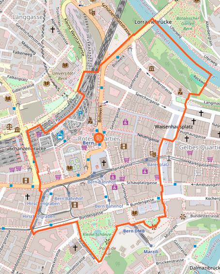
Deutsch: Rotes Quartier der Stadt Bern: Karte
English: Red Quarter of the city of Bern, Switzerland: map
|
||||||||||
| Date | |||||||||||
| Source | OpenStreetMap | ||||||||||
| Author | OpenStreetMap contributors | ||||||||||
| Permission (Reusing this file) |
|
||||||||||
| Other versions |
|
||||||||||


| Object location | | View this and other nearby images on: OpenStreetMap |
|---|
File history
Click on a date/time to view the file as it appeared at that time.
| Date/Time | Thumbnail | Dimensions | User | Comment | |
|---|---|---|---|---|---|
| current | 01:07, 10 May 2024 | | 454 × 566 (81 KB) | Enhancing999 (talk | contribs) | {{Information |Description= |Source= |Date= |Author= |Permission={{}} |other_versions= }} |
You cannot overwrite this file.
File usage on Commons
The following 8 pages use this file:
- User:Chumwa/OgreBot/Transport Maps/2024 May 1-10
- User:Chumwa/OgreBot/Travel and communication maps/2024 May 1-10
- File:Bern Gelbes Quartier, OSM map 2024.jpg
- File:Bern Grünes Quartier, OSM map 2024.jpg
- File:Bern Rotes Quartier, OSM map 2024.jpg
- File:Bern Schwarzes Quartier, OSM map 2024.jpg
- File:Bern Weisses Quartier, OSM map 2024.jpg
- Category:Rotes Quartier (Bern)
File usage on other wikis
The following other wikis use this file:
- Usage on de.wikipedia.org
- Usage on www.wikidata.org