File:Berlin-Schöneweide Station 2024-06.png
Jump to navigation
Jump to search
Size of this preview: 800 × 482 pixels. Other resolutions: 320 × 193 pixels | 640 × 385 pixels | 1,024 × 616 pixels | 1,568 × 944 pixels.
Original file (1,568 × 944 pixels, file size: 1.33 MB, MIME type: image/png)
Captions
Captions
Add a one-line explanation of what this file represents
Summary
[edit]
| Description |
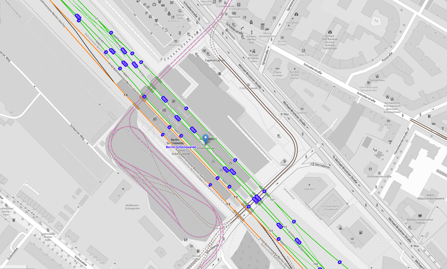
Neubau der Tramschleife südlich des Bahnhofs mit neuer Untertunnelung in der Verlängerung der Brückenstraße unter dem Bahndamm hindurch. This map of Berlin-Schöneweide was created from OpenStreetMap project data, collected by the community. This map may be incomplete, and may contain errors. Don't rely solely on it for navigation. |
|||
| Date | ||||
| Source | openstreetmap.org | |||
| Creator |
OpenStreetMap contributors |
|||
| Permission (Reusing this file) |
OpenStreetMap data is available under the Open Database License (details). Standard style map tiles are licensed as ODbL Produced Works.
|
|||
| Georeferencing | If inappropriate please set warp_status = skip to hide. |
File history
Click on a date/time to view the file as it appeared at that time.
| Date/Time | Thumbnail | Dimensions | User | Comment | |
|---|---|---|---|---|---|
| current | 20:14, 13 July 2024 | | 1,568 × 944 (1.33 MB) | Rafael Zink (talk | contribs) | {{OpenStreetMap |name = |location =Berlin-Schöneweide |description =Neubau der Tramschleife südlich des Bahnhofs mit neuer Untertunnelung in der Verlängerung der Brückenstraße unter dem Bahndamm hindurch. |date =2024-07-13 |authors = |other_versions = |warp_status = |warp_url = |odbl = |other_fields = |image = }} |
You cannot overwrite this file.
File usage on Commons
The following 4 pages use this file: