File:Belvedere, 99425 Weimar, Germany - panoramio (1).jpg
Jump to navigation
Jump to search

Size of this preview: 432 × 599 pixels. Other resolutions: 173 × 240 pixels | 346 × 480 pixels | 554 × 768 pixels | 738 × 1,024 pixels | 1,477 × 2,048 pixels | 2,988 × 4,144 pixels.
Original file (2,988 × 4,144 pixels, file size: 3.66 MB, MIME type: image/jpeg)
Captions
Captions
Add a one-line explanation of what this file represents
Summary
[edit].jpg&action=edit§ion=1)
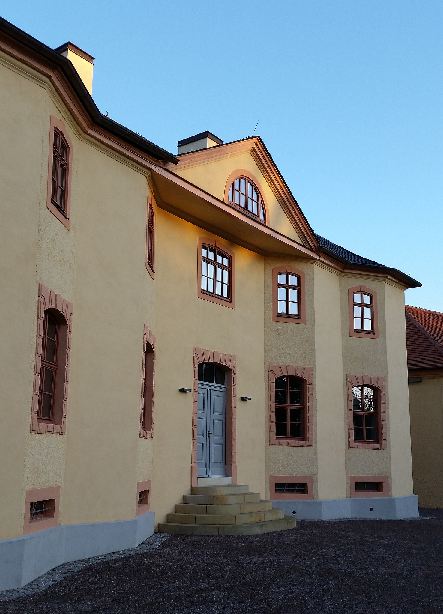
| Description | Belvedere, 99425 Weimar, Germany | ||
| Date | Taken on 26 December 2014 | ||
| Source | https://web.archive.org/web/20161102072149/http://www.panoramio.com/photo/115286336 | ||
| Author | Vimarius | ||
| Permission (Reusing this file) |
This file is licensed under the Creative Commons Attribution 3.0 Unported license. Attribution: Vimarius
|
||
| Panoramio Tags | Weimar |
| Camera location | | View this and other nearby images on: OpenStreetMap |
|---|
.jpg¶ms=050.949223_N_0011.351802_E_globe:Earth_type:camera_source:Panoramio_&language=en)
File history
Click on a date/time to view the file as it appeared at that time.
| Date/Time | Thumbnail | Dimensions | User | Comment | |
|---|---|---|---|---|---|
| current | 10:04, 17 May 2017 | | 2,988 × 4,144 (3.66 MB) | Panoramio upload bot (talk | contribs) | == {{int:filedesc}} == {{Information |description=Belvedere, 99425 Weimar, Germany |date={{Taken on|2014-12-26}} |source=http://www.panoramio.com/photo/115286336 |author=[http://www.panoramio.com/user/2905547?with_photo_id=115286336 Vimarius] |permissi... |
You cannot overwrite this file.
File usage on Commons
There are no pages that use this file.
.jpg&oldid=820806891)