File:Belorussia Operation Russian Map.png
Jump to navigation
Jump to search
Size of this preview: 800 × 544 pixels. Other resolutions: 320 × 218 pixels | 640 × 435 pixels | 1,024 × 697 pixels | 1,280 × 871 pixels | 2,665 × 1,813 pixels.
Original file (2,665 × 1,813 pixels, file size: 2.42 MB, MIME type: image/png)
Captions
Captions
Add a one-line explanation of what this file represents
Summary
[edit]
| Description |
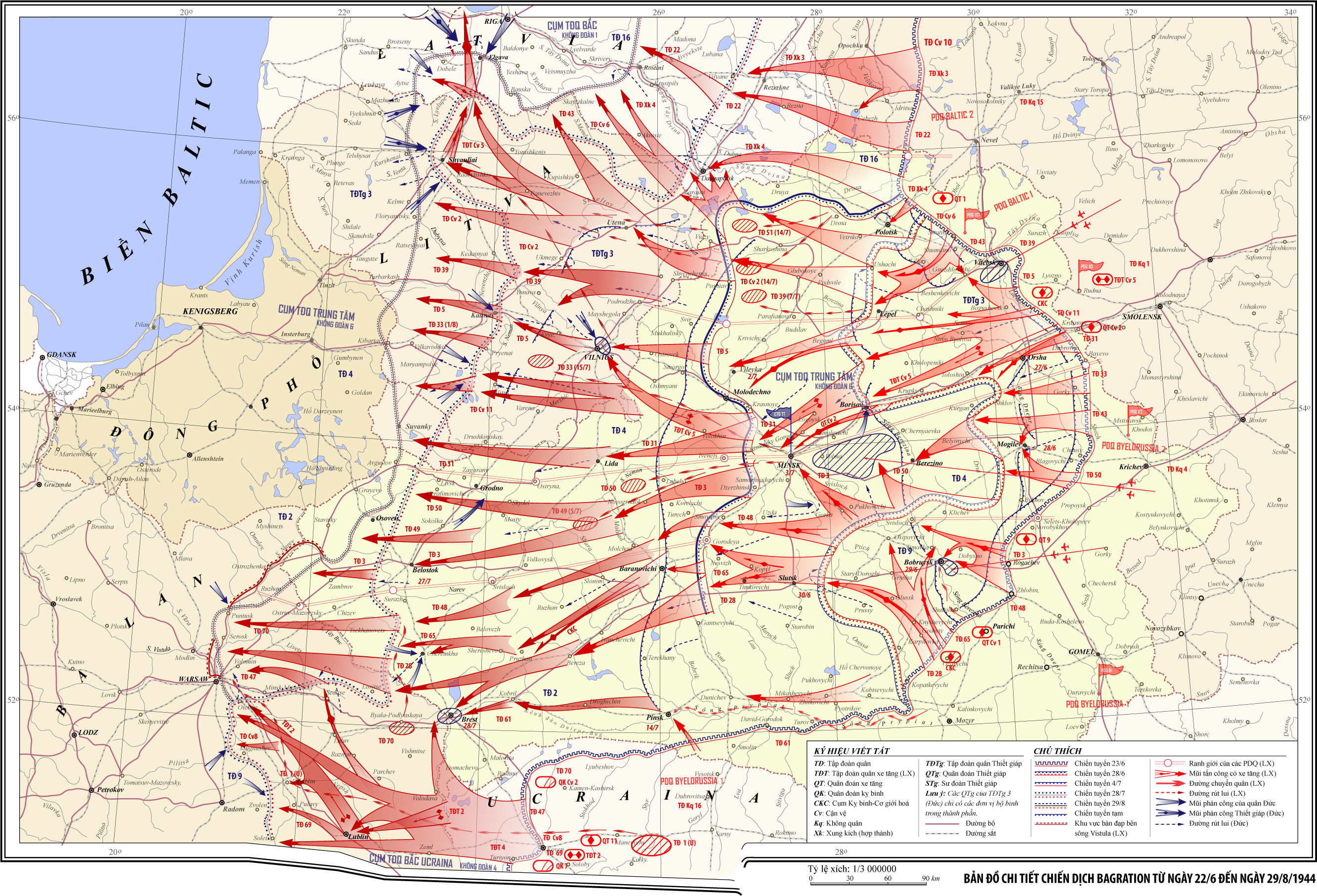
Tiếng Việt: Tôi Việt hoá bản đồ này từ nguồn [1] |
| Source | Own work, A translation of the original image at http://victory.mil.ru/war/maps/046.jpg |
| Author | Tazadeperla (thảo luận) |
![[1]](http://victory.mil.ru/war/maps/046.jpg)
Licensing
[edit]
I, the copyright holder of this work, hereby publish it under the following licenses:
This file is licensed under the Creative Commons Attribution-Share Alike 3.0 Unported, 2.5 Generic, 2.0 Generic and 1.0 Generic license.
- You are free:
- to share – to copy, distribute and transmit the work
- to remix – to adapt the work
- Under the following conditions:
- attribution – You must give appropriate credit, provide a link to the license, and indicate if changes were made. You may do so in any reasonable manner, but not in any way that suggests the licensor endorses you or your use.
- share alike – If you remix, transform, or build upon the material, you must distribute your contributions under the same or compatible license as the original.

|
Permission is granted to copy, distribute and/or modify this document under the terms of the GNU Free Documentation License, Version 1.2 or any later version published by the Free Software Foundation; with no Invariant Sections, no Front-Cover Texts, and no Back-Cover Texts. A copy of the license is included in the section entitled GNU Free Documentation License. |
You may select the license of your choice.
File history
Click on a date/time to view the file as it appeared at that time.
| Date/Time | Thumbnail | Dimensions | User | Comment | |
|---|---|---|---|---|---|
| current | 18:47, 26 June 2010 | | 2,665 × 1,813 (2.42 MB) | Tazadeperla (talk | contribs) | |
| 18:40, 26 June 2010 |  | 2,666 × 1,813 (2.14 MB) | Tazadeperla (talk | contribs) | Ðã Việt hoá toàn bộ với các chi tiết chính xác - toàn bộ địa danh | |
| 18:13, 24 June 2010 |  | 2,712 × 1,845 (2.06 MB) | Tazadeperla (talk | contribs) | VẼ LẠI HOÀN TOÀN MỚI | |
| 17:18, 20 June 2010 |  | 2,127 × 1,490 (4.82 MB) | Tazadeperla (talk | contribs) | {{Thông tin |Miêu tả = Tôi Việt hoá bản đồ này từ nguồn [http://victory.mil.ru/war/maps/046.jpg] |Ngày = |Nguồn = Tôi sáng tạo ra tác phẩm |Tác giả = ~~~ |Phiên bản khác = }} |
You cannot overwrite this file.
File usage on Commons
There are no pages that use this file.