File:Bellevue in Mansion Hill, Newport.jpg
Jump to navigation
Jump to search

Size of this preview: 800 × 600 pixels. Other resolutions: 320 × 240 pixels | 640 × 480 pixels | 1,024 × 768 pixels | 1,280 × 960 pixels | 2,560 × 1,920 pixels | 2,816 × 2,112 pixels.
Original file (2,816 × 2,112 pixels, file size: 1.68 MB, MIME type: image/jpeg)
Captions
Captions
Add a one-line explanation of what this file represents
|
This is an image of a place or building that is listed on the National Register of Historic Places in the United States of America. Its reference number is 76000857. |
| Camera location | | View this and other nearby images on: OpenStreetMap |
|---|
| Description |
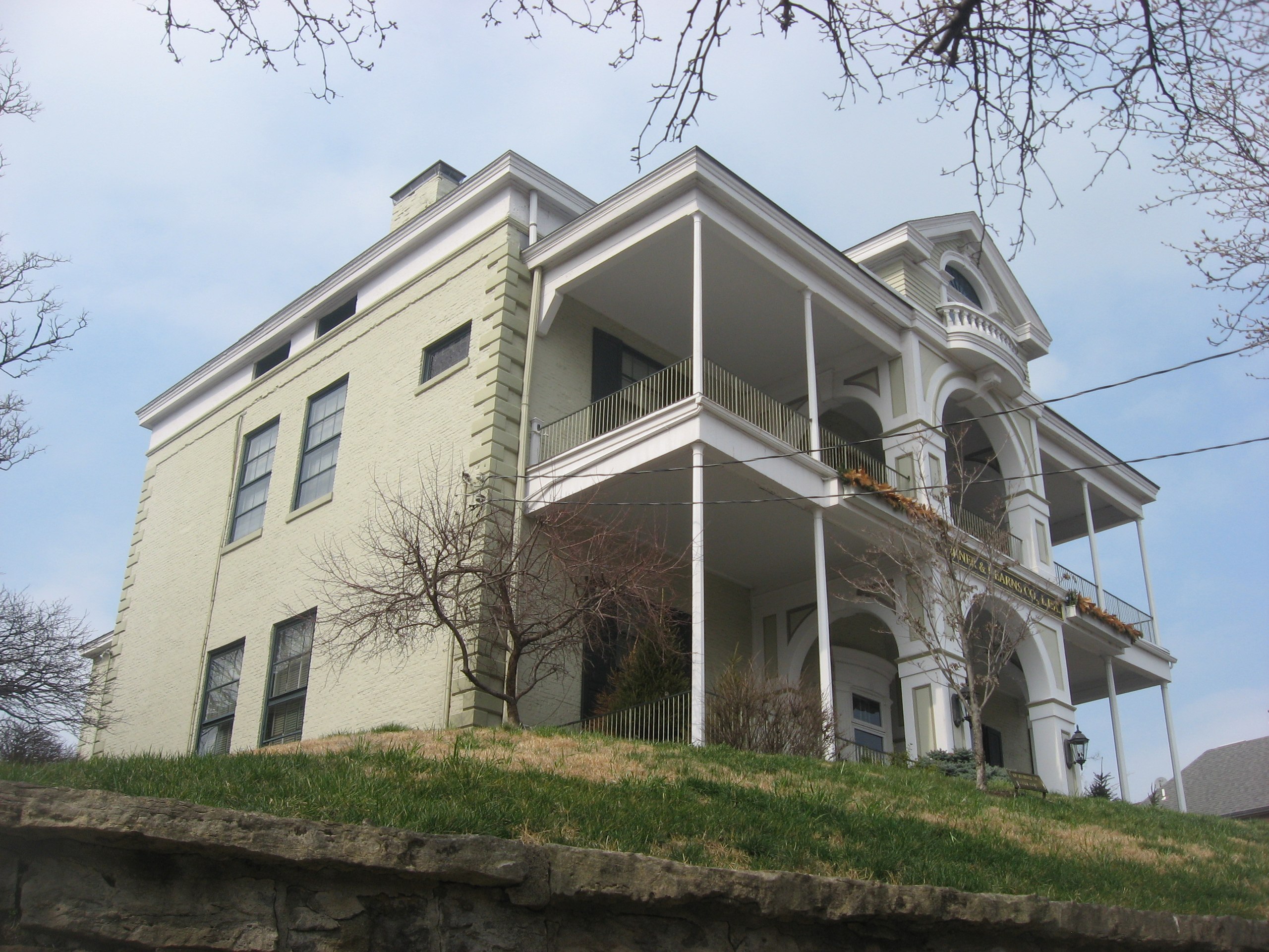
English: Front and western side of Bellevue, the General James Taylor Mansion, located at 335 E. Third Street in Newport, Kentucky, United States. Built in 1845 and subsequently remodelled, it is listed on the National Register of Historic Places, and it is part of a Register-listed historic district, the Mansion Hill Historic District. |
||
| Date | Taken on 16 March 2013 | ||
| Source | Own work | ||
| Author | Nyttend | ||
| Permission (Reusing this file) |
|
||
| Openstreetmap entry | Link to Openstreetmap |
| Object location | | View this and other nearby images on: OpenStreetMap |
|---|
File history
Click on a date/time to view the file as it appeared at that time.
| Date/Time | Thumbnail | Dimensions | User | Comment | |
|---|---|---|---|---|---|
| current | 05:05, 21 March 2013 | | 2,816 × 2,112 (1.68 MB) | Nyttend (talk | contribs) | {{NRHP|76000857}} {{Location|39|5|47|N|84|29|32|W}} {{Information |Description={{en|Front and western side of {{w|Bellevue (Newport, Kentucky)|Bellevue}}, located at 335 E. Third Street in {{w|Covington, Kentucky|Covington}}, {{w|Kentucky}}, {{w|United... |
You cannot overwrite this file.
File usage on Commons
The following 2 pages use this file:
File usage on other wikis
The following other wikis use this file:
- Usage on en.wikipedia.org
- Usage on www.wikidata.org