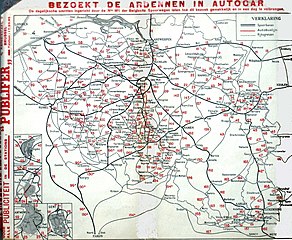
File:Belgische spoorwegen 1933 versie II.jpg

Original file (2,218 × 1,821 pixels, file size: 788 KB, MIME type: image/jpeg)
Captions
Captions

|
This file has been superseded by Belgische spoorwegen 1933 versie II.png. It is recommended to use the other file. Please note that deleting superseded images requires consent. Reason to use the other file: "A PNG version of this file is now available."
|

|
Summary
[edit]
| Description |
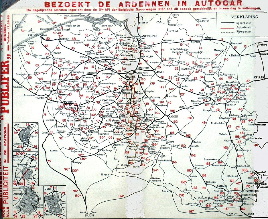
English: Railway map off the Belgian Railways in 1933. Timetable off the summer 1933. Before the Brussels North South connection. Many lines have been closed. The red lines are buslines.
Nederlands: Spoorwegkaart van de Belgische spoorwegen in de zomer van 1933. Uit het Belgische spoorboek van de zomer 1933. Geen Noord-Zuid verbinding. Vele spoorlijnen zijn ondertussen opgeheven. |
| Date | mei 1933 / foto genomen op 2-6-2008 |
| Source | Belgische spoorwegen, zomerdienstregeling van 1933, privé exemplaar. Meer dan 70 jaar geleden gepubliseerd. |
| Author | Tekenaar kaart, onbekend, in opdracht van de Belgische spoorwegen. Spoorboek uitgegeven door de Belgische spoorwegen. |
| Other versions | Belgische spoorwegen 1933.jpg |
Opgeschoonde versie van "Belgische spoorwegen 1933.jpg". Paint gebruikt
Licensing
[edit]
|
This work is in the public domain in its country of origin and other countries and areas where the copyright term is the author's life plus 70 years or fewer.
| |
| This file has been identified as being free of known restrictions under copyright law, including all related and neighboring rights. | |
File history
Click on a date/time to view the file as it appeared at that time.
| Date/Time | Thumbnail | Dimensions | User | Comment | |
|---|---|---|---|---|---|
| current | 23:03, 17 June 2008 | | 2,218 × 1,821 (788 KB) | Smiley.toerist (talk | contribs) | {{Information |Description={{en|1=Railway map off the Belgian Railways in 1933. Timetable off the summer 1933. Before the Brussels North South connection. Many lines have been closed. The red lines are buslines.}} {{nl|1=Spoorwegkaart van de Belgische spo |
You cannot overwrite this file.
File usage on Commons
There are no pages that use this file.