File:Before the storm - panoramio (4).jpg
Jump to navigation
Jump to search
Size of this preview: 800 × 429 pixels. Other resolutions: 320 × 172 pixels | 640 × 343 pixels | 1,024 × 549 pixels | 1,882 × 1,009 pixels.
Original file (1,882 × 1,009 pixels, file size: 834 KB, MIME type: image/jpeg)
Captions
Captions
Add a one-line explanation of what this file represents
Summary
[edit].jpg&action=edit§ion=1)
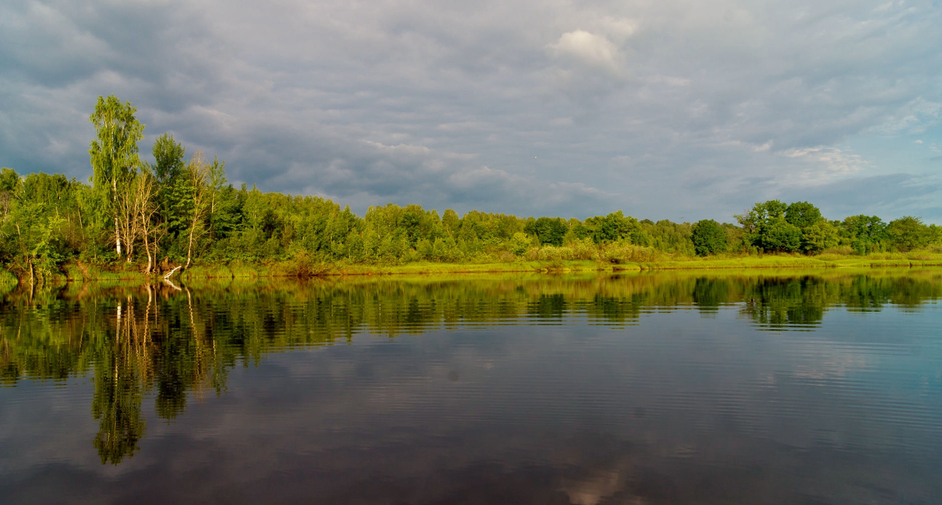
| Description | Before the storm | ||
| Date | Taken on 19 June 2011 | ||
| Source | https://web.archive.org/web/20161023225701/http://www.panoramio.com/photo/55682264 | ||
| Author | Alexander Sevastyano… | ||
| Permission (Reusing this file) |
This file is licensed under the Creative Commons Attribution-Share Alike 3.0 Unported license. Attribution: Alexander Sevastyano…
|
||
| Tags (from Panoramio photo page) | Voskresensky District, vetluga |
| Camera location | | View this and other nearby images on: OpenStreetMap |
|---|
.jpg¶ms=056.778855_N_0045.554601_E_globe:Earth_type:camera_source:Panoramio_&language=en)
File history
Click on a date/time to view the file as it appeared at that time.
| Date/Time | Thumbnail | Dimensions | User | Comment | |
|---|---|---|---|---|---|
| current | 11:10, 2 December 2016 | | 1,882 × 1,009 (834 KB) | Panoramio upload bot (talk | contribs) | == {{int:filedesc}} == {{Information |description=Before the storm |date={{Taken on|2011-06-19}} |source=http://www.panoramio.com/photo/55682264 |author=[http://www.panoramio.com/user/4555346?with_photo_id=55682264 Alexander Sevastyano…] |permission=... |
You cannot overwrite this file.
File usage on Commons
The following page uses this file:
File usage on other wikis
The following other wikis use this file:
- Usage on avk.wikipedia.org
.jpg&oldid=828330887)