File:Base map of Persian Gulf-fr.svg
Jump to navigation
Jump to search

Size of this PNG preview of this SVG file: 755 × 598 pixels. Other resolutions: 303 × 240 pixels | 606 × 480 pixels | 970 × 768 pixels | 1,280 × 1,014 pixels | 2,560 × 2,028 pixels.
Original file (SVG file, nominally 755 × 598 pixels, file size: 1.04 MB)
Captions
Captions
Add a one-line explanation of what this file represents
| Description |
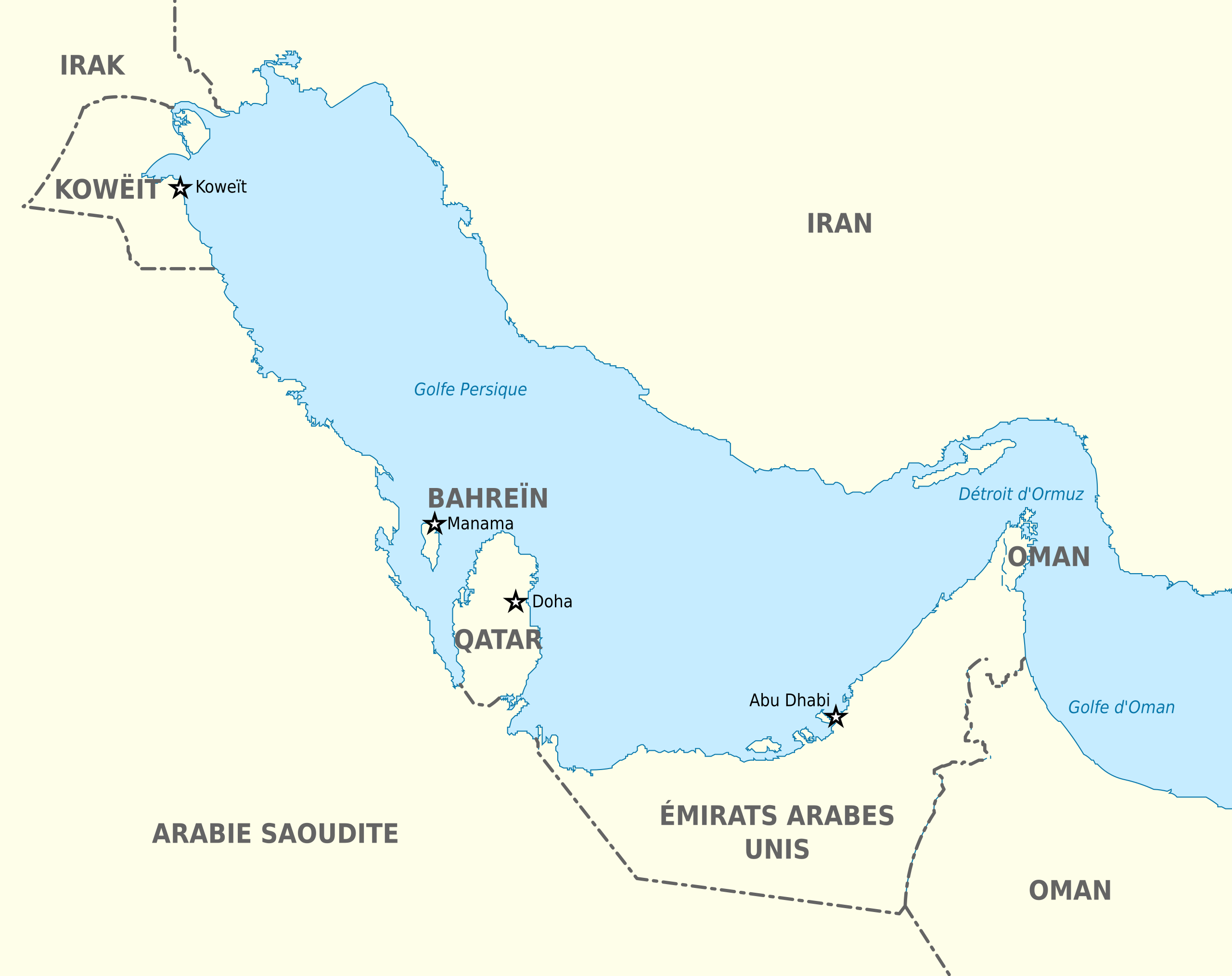
English: Base map of the Persian Gulf with french names of country and capital cities Français : Carte du Golfe Persique aux couleurs standard de l'atelier graphique, comportant les noms des pays et de leurs capitales |
| Date | |
| Source |
Blank map world gmt (simplified).svg, a blank map of the world based on the Generic Mapping Tools by San Jose and Chumwa This W3C-unspecified vector image was created with Inkscape . |
| Author | Pethrus |
| Other versions |
Français : Blank_map_of_Persian_Gulf.svg (sans les noms des pays et de leurs capitales) |
.svg)

|
Permission is granted to copy, distribute and/or modify this document under the terms of the GNU Free Documentation License, Version 1.2 or any later version published by the Free Software Foundation; with no Invariant Sections, no Front-Cover Texts, and no Back-Cover Texts. A copy of the license is included in the section entitled GNU Free Documentation License. |
| This file is licensed under the Creative Commons Attribution-Share Alike 3.0 Unported license. | ||
| ||
| This licensing tag was added to this file as part of the GFDL licensing update. |
File history
Click on a date/time to view the file as it appeared at that time.
| Date/Time | Thumbnail | Dimensions | User | Comment | |
|---|---|---|---|---|---|
| current | 21:34, 21 September 2011 | | 755 × 598 (1.04 MB) | Pj44300 (talk | contribs) | nouvelle version |
| 21:30, 21 September 2011 |  | 755 × 598 (1.04 MB) | Pj44300 (talk | contribs) | Marquage de la frontière du Qatar | |
| 20:11, 8 March 2010 |  | 755 × 598 (1.04 MB) | Pethrus (talk | contribs) | {{Information |Description={{en|Base map of the Persian Gulf with french names of country and capital cities}}{{fr|Carte du Golfe Persique aux couleurs standard de l'atelier graphique, comportant les noms des pays et de leurs capitales}} |Source=[[:File:B |
You cannot overwrite this file.
File usage on Commons
There are no pages that use this file.
File usage on other wikis
The following other wikis use this file:
- Usage on fr.wikipedia.org
- Usage on fr.wikinews.org
- Usage on uk.wikipedia.org