File:Baruten, Kwara 01.jpg
Original file (3,264 × 2,448 pixels, file size: 2.82 MB, MIME type: image/jpeg)
Captions
Summary
[edit]DescriptionBaruten, Kwara 01.jpg |
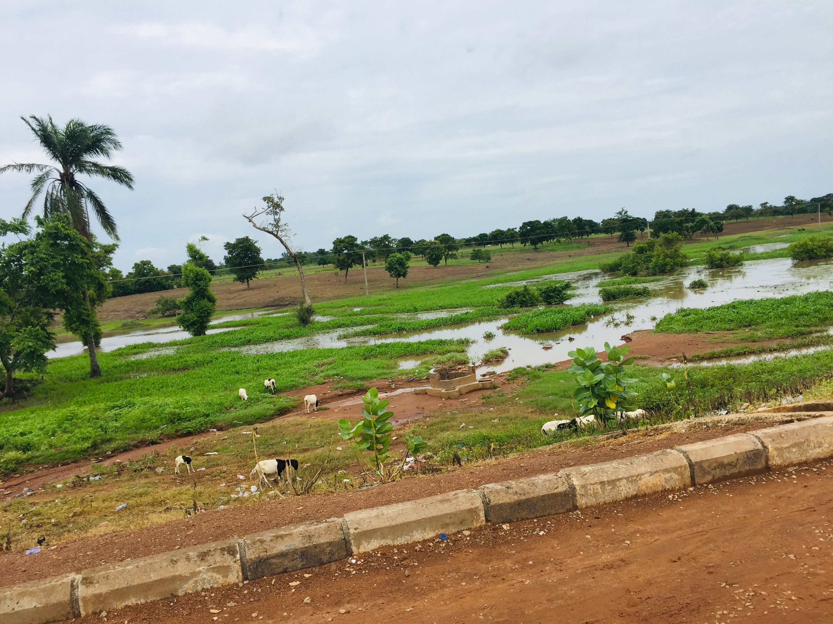
English: Baruten is the second biggest in Nigeria after Borgu LGA, Niger and the largest in Kwara state. It has an area of 9,749 km² and a population of 209,459 at the 2006 census. |
Date | |
Source | Own work |
Author | Okeile |
Camera location | 8° 54′ 24.28″ N, 3° 25′ 40.6″ E | View this and other nearby images on: OpenStreetMap | 8.906744; 3.427944 |
---|
Licensing
[edit]- You are free:
- to share – to copy, distribute and transmit the work
- to remix – to adapt the work
- Under the following conditions:
- attribution – You must give appropriate credit, provide a link to the license, and indicate if changes were made. You may do so in any reasonable manner, but not in any way that suggests the licensor endorses you or your use.
- share alike – If you remix, transform, or build upon the material, you must distribute your contributions under the same or compatible license as the original.
This image was uploaded as part of Wiki Loves Earth 2019.
aragonés | العربية | asturianu | azərbaycanca | беларуская (тарашкевіца) | български | বাংলা | brezhoneg | català | čeština | Cymraeg | Deutsch | Ελληνικά | English | español | eesti | euskara | فارسی | français | galego | עברית | hrvatski | հայերեն | Bahasa Indonesia | italiano | 日本語 | ქართული | 한국어 | latviešu | македонски | മലയാളം | मराठी | Bahasa Melayu | norsk bokmål | नेपाली | Nederlands | norsk | polski | português | português do Brasil | русский | sicilianu | shqip | slovenščina | српски / srpski | svenska | ไทย | Türkçe | українська | اردو | 中文 | 中文(台灣) | +/− |
File history
Click on a date/time to view the file as it appeared at that time.
Date/Time | Thumbnail | Dimensions | User | Comment | |
---|---|---|---|---|---|
current | 22:23, 30 June 2019 | 3,264 × 2,448 (2.82 MB) | Okeile (talk | contribs) | User created page with UploadWizard |
You cannot overwrite this file.
File usage on Commons
There are no pages that use this file.
File usage on other wikis
The following other wikis use this file:
- Usage on ha.wikipedia.org
Metadata
This file contains additional information such as Exif metadata which may have been added by the digital camera, scanner, or software program used to create or digitize it. If the file has been modified from its original state, some details such as the timestamp may not fully reflect those of the original file. The timestamp is only as accurate as the clock in the camera, and it may be completely wrong.
Camera manufacturer | Apple |
---|---|
Camera model | iPhone 6 |
Exposure time | 1/1,799 sec (0.00055586436909394) |
F-number | f/2.2 |
ISO speed rating | 32 |
Date and time of data generation | 10:09, 7 June 2019 |
Lens focal length | 4.15 mm |
Latitude | 8° 54′ 24.28″ N |
Longitude | 3° 25′ 40.6″ E |
Altitude | 389.833 meters above sea level |
Horizontal resolution | 72 dpi |
Vertical resolution | 72 dpi |
Software used | 12.1.2 |
File change date and time | 10:09, 7 June 2019 |
Exposure Program | Normal program |
Exif version | 2.21 |
Date and time of digitizing | 10:09, 7 June 2019 |
Meaning of each component |
|
APEX shutter speed | 10.81262749898 |
APEX aperture | 2.2750070476914 |
APEX brightness | 10.612376402622 |
APEX exposure bias | 0 |
Metering mode | Pattern |
Flash | Flash did not fire, compulsory flash suppression |
DateTimeOriginal subseconds | 090 |
DateTimeDigitized subseconds | 090 |
Supported Flashpix version | 1 |
Color space | sRGB |
Sensing method | One-chip color area sensor |
Scene type | A directly photographed image |
Exposure mode | Auto exposure |
White balance | Auto white balance |
Focal length in 35 mm film | 29 mm |
Scene capture type | Standard |
GPS time (atomic clock) | 09:09 |
Speed unit | Kilometers per hour |
Speed of GPS receiver | 0 |
Reference for direction of image | Magnetic direction |
Direction of image | 193.39373007439 |
Reference for bearing of destination | Magnetic direction |
Bearing of destination | 193.39373007439 |
GPS date | 7 June 2019 |
Structured data
Items portrayed in this file
depicts
7 June 2019
8°54'24.278"N, 3°25'40.598"E
0.00055586436909394107 second
2.2
4.15 millimetre
image/jpeg
9acf59ea530c8e2c0b875406c92720913f5ca6c2
2,960,256 byte
2,448 pixel
3,264 pixel
- Files with coordinates missing SDC location of creation
- CC-BY-SA-4.0
- Self-published work
- Images from Wiki Loves Earth 2019
- Images from Wiki Loves Earth 2019 in Nigeria
- Images from Wiki Loves Earth missing SDC depicts
- Images from Wiki Loves Earth missing SDC location of creation
- Uploaded via Campaign:wle-ng
- Nigeria photographs taken on 2019-06-07