File:Baranya location map.svg
Jump to navigation
Jump to search

Size of this PNG preview of this SVG file: 800 × 579 pixels. Other resolutions: 320 × 232 pixels | 640 × 463 pixels | 1,024 × 742 pixels | 1,280 × 927 pixels | 2,560 × 1,854 pixels | 939 × 680 pixels.
Original file (SVG file, nominally 939 × 680 pixels, file size: 105 KB)
Captions
Captions
Add a one-line explanation of what this file represents
Summary
[edit]
| Title |
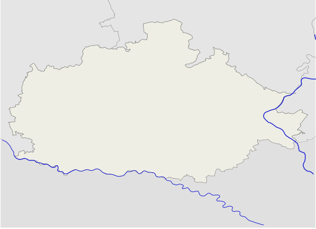
Map of Baranya county |
|||||||||
| Map legend | Map of Baranya county | |||||||||
| Source | OpenStreetMap | |||||||||
| Creator |
Texaner |
|||||||||
| Permission (Reusing this file) |
own work | |||||||||
| Geotemporal data | ||||||||||
| Bounding box |
|
|||||||||
| Description |
English: Location map of Baranya county in Hungary
Magyar: Baranya megye vaktérképe |
| Date | |
| Source | Own work |
| Author | Texaner |
Licensing
[edit]
I, the copyright holder of this work, hereby publish it under the following license:
This file is licensed under the Creative Commons Attribution-Share Alike 4.0 International license.
- You are free:
- to share – to copy, distribute and transmit the work
- to remix – to adapt the work
- Under the following conditions:
- attribution – You must give appropriate credit, provide a link to the license, and indicate if changes were made. You may do so in any reasonable manner, but not in any way that suggests the licensor endorses you or your use.
- share alike – If you remix, transform, or build upon the material, you must distribute your contributions under the same or compatible license as the original.
File history
Click on a date/time to view the file as it appeared at that time.
| Date/Time | Thumbnail | Dimensions | User | Comment | |
|---|---|---|---|---|---|
| current | 17:05, 5 March 2017 | | 939 × 680 (105 KB) | Texaner (talk | contribs) | User created page with UploadWizard |
You cannot overwrite this file.
File usage on Commons
The following page uses this file:
File usage on other wikis
The following other wikis use this file:
- Usage on eo.wikipedia.org
- Komló
- Mohács
- Pécsvárad
- Sásd
- Sellye
- Siklós
- Szigetvár
- Szentlőrinc
- Villány
- Bóly
- Harkány
- Kozármisleny
- Beremend
- Mágocs
- Márfa
- Lapáncsa
- Piskó
- Kacsóta
- Besence
- Cserdi
- Magyarszék
- Gyűrűfű
- Katedralo de Pécs
- Nacia Teatro (Pécs)
- Sinagogo de Pécs
- Distrikto Pécs
- Distrikto Szentlőrinc
- Distrikto Szigetvár
- Distrikto Komló
- Distrikto Hegyhát
- Distrikto Siklós
- Distrikto Pécsvárad
- Distrikto Sellye
- Distrikto Bóly
- Distrikto Mohács
- Ŝablono:Situo sur mapo Hungario Baranya
- Moskeo de Jakovali Hasan
- Moskeo de Malkoĉ
- Usage on es.wikipedia.org
- Usage on lmo.wikipedia.org
- Usage on ro.wikipedia.org
- Usage on vi.wikipedia.org
- Usage on www.wikidata.org