File:Bangerterhwyarpt.jpg
Jump to navigation
Jump to search

Size of this preview: 800 × 600 pixels. Other resolutions: 320 × 240 pixels | 640 × 480 pixels | 1,024 × 768 pixels | 1,280 × 960 pixels | 1,600 × 1,200 pixels.
Original file (1,600 × 1,200 pixels, file size: 245 KB, MIME type: image/jpeg)
Captions
Captions
Add a one-line explanation of what this file represents
Summary
[edit]
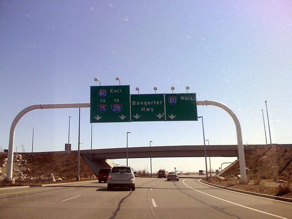
| Description | Bangerter Highway southbound leading out of the airport |
| Date | |
| Source | Own work |
| Author | CountyLemonade |
| Camera location | | View this and other nearby images on: OpenStreetMap |
|---|
Licensing
[edit]
| I, the copyright holder of this work, release this work into the public domain. This applies worldwide. In some countries this may not be legally possible; if so: I grant anyone the right to use this work for any purpose, without any conditions, unless such conditions are required by law. |
File history
Click on a date/time to view the file as it appeared at that time.
| Date/Time | Thumbnail | Dimensions | User | Comment | |
|---|---|---|---|---|---|
| current | 01:09, 23 March 2008 | | 1,600 × 1,200 (245 KB) | CountyLemonade (talk | contribs) | fixed using Picasa |
| 00:20, 23 March 2008 |  | 1,600 × 1,200 (227 KB) | CountyLemonade (talk | contribs) | {{Information |Description=Bangerter Highway southbound leading out of the airport |Source=self-made |Date=22 March 2008 |Author= CountyLemonade |Permission= |other_versions= }} |
You cannot overwrite this file.
File usage on Commons
There are no pages that use this file.
File usage on other wikis
The following other wikis use this file:
- Usage on de.wikipedia.org
Metadata
Categories:
- 2008 at Salt Lake City International Airport
- Interstate Highway bridges
- Interstate 15 shields
- Interstate 80 in Salt Lake County, Utah
- Interstate 80 shields
- Interstate 215 shields
- March 2008 in Utah
- Overpass bridges in Utah
- Road sign gantries in Utah
- Utah State Route 154
- 2008 in road transport in the United States
- East road signs
- March 2008 in transport in the United States
- Road signs in the United States photographed in 2008
- Pull-Through signs in the United States
- West road signs