File:Bangalore siege map.jpg
Jump to navigation
Jump to search
Size of this preview: 452 × 600 pixels. Other resolutions: 181 × 240 pixels | 362 × 480 pixels | 579 × 768 pixels | 771 × 1,024 pixels | 1,507 × 2,000 pixels.
Original file (1,507 × 2,000 pixels, file size: 627 KB, MIME type: image/jpeg)
Captions
Captions
Add a one-line explanation of what this file represents
Summary
[edit]
| Description |
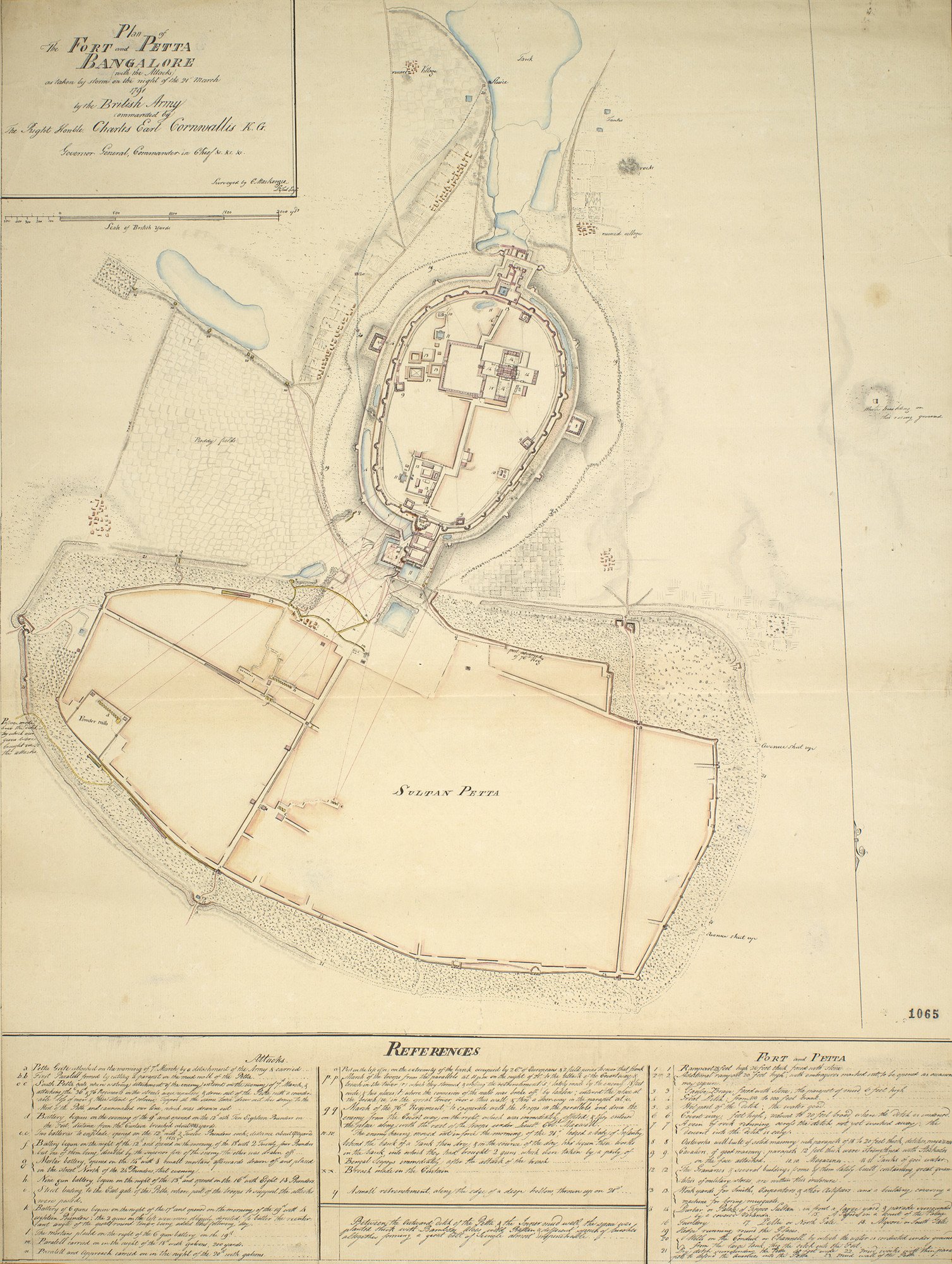
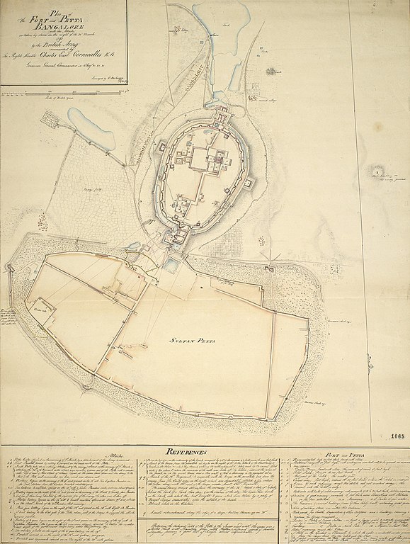
Plan of The FORT and PETTA BANGALORE (with the Attacks) as taken by storm on the night of the 21t March 1791 / by the British Army / commanded by / The Right Honble Charles Earl Cornwallis K.G. / Governor... c.179 |
|||||||||
| Date | ||||||||||
| Source | Royal Collection Trust | |||||||||
| Creator |
Colin Mackenzie (active 1783-d. 1821) |
|||||||||
| Permission (Reusing this file) |
|
|||||||||
| Geotemporal data | ||||||||||
| Date depicted | ||||||||||
| Bounding box |
|
|||||||||
| Georeferencing | ||||||||||
File history
Click on a date/time to view the file as it appeared at that time.
| Date/Time | Thumbnail | Dimensions | User | Comment | |
|---|---|---|---|---|---|
| current | 05:14, 30 January 2020 | | 1,507 × 2,000 (627 KB) | Shyamal (talk | contribs) | == {{int:filedesc}} == {{Map |Description=Plan of The FORT and PETTA BANGALORE (with the Attacks) as taken by storm on the night of the 21t March 1791 / by the British Army / commanded by / The Right Honble Charles Earl Cornwallis K.G. / Governor... c.179 |Source=[https://militarymaps.rct.uk/other-18th-19th-century-conflicts/siege-of-bangalore-1791-plan-of-the-fort-and Royal Collection Trust] |Date=1791 | map_date= 21-03-1791 |Author=Colin Mackenzie (active 1783-d. 1821) |Permission={{pd-ol... |
You cannot overwrite this file.
File usage on Commons
There are no pages that use this file.