File:Banga National HS Field SoCo td (2020-01-31) 30.jpg
Jump to navigation
Jump to search

Size of this preview: 800 × 533 pixels. Other resolutions: 320 × 213 pixels | 640 × 427 pixels | 1,024 × 683 pixels | 1,280 × 853 pixels | 2,560 × 1,707 pixels | 5,472 × 3,648 pixels.
Original file (5,472 × 3,648 pixels, file size: 4.94 MB, MIME type: image/jpeg)
Captions
Captions
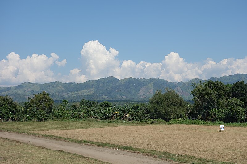
Roxas-Matulas Mountains, Banga National High School Athletic Field, Banga, South Cotabato.
Summary
[edit]_30.jpg&action=edit§ion=1)
| Description |
English: Looking north across the athletic field of Banga National High School towards the mountains including Milas Peak, on the east side of Jose Parreño Street in Barangay Benitez, Banga, South Cotabato, Philippines. Across the mountains lies the municipality of Tupi. Looking from the roof of one of the new school buildings |
| Date | |
| Source | Own work |
| Author | Tdorante10 |
| Camera location | | View this and other nearby images on: OpenStreetMap |
|---|
_30.jpg¶ms=006.415654_N_0124.778589_E_globe:Earth_type:camera__&language=en)
Licensing
[edit]_30.jpg&action=edit§ion=2)
I, the copyright holder of this work, hereby publish it under the following license:
This file is licensed under the Creative Commons Attribution-Share Alike 4.0 International license.
- You are free:
- to share – to copy, distribute and transmit the work
- to remix – to adapt the work
- Under the following conditions:
- attribution – You must give appropriate credit, provide a link to the license, and indicate if changes were made. You may do so in any reasonable manner, but not in any way that suggests the licensor endorses you or your use.
- share alike – If you remix, transform, or build upon the material, you must distribute your contributions under the same or compatible license as the original.
File history
Click on a date/time to view the file as it appeared at that time.
| Date/Time | Thumbnail | Dimensions | User | Comment | |
|---|---|---|---|---|---|
| current | 12:23, 31 January 2020 | | 5,472 × 3,648 (4.94 MB) | Tdorante10 (talk | contribs) | User created page with UploadWizard |
You cannot overwrite this file.
File usage on Commons
There are no pages that use this file.
_30.jpg&oldid=830523034)