File:Bandierinadangolo.JPG
Jump to navigation
Jump to search

Size of this preview: 433 × 599 pixels. Other resolutions: 173 × 240 pixels | 347 × 480 pixels | 555 × 768 pixels | 740 × 1,024 pixels | 1,319 × 1,824 pixels.
Original file (1,319 × 1,824 pixels, file size: 596 KB, MIME type: image/jpeg)
Captions
Captions
Add a one-line explanation of what this file represents
| Description |
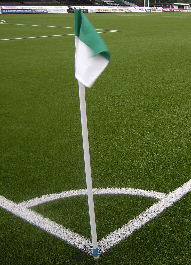
Svenska: IK Brages hemmaarena Domnarvsvallen. Borlänge |
| Date | (UTC) |
| Source | |
| Author |
|
| Camera location | | View this and other nearby images on: OpenStreetMap |
|---|
| This is a retouched picture, which means that it has been digitally altered from its original version. The original can be viewed here: Borlänge Domnarvsvallen hörnflagga.JPG:
|
I, the copyright holder of this work, hereby publish it under the following license:
This file is licensed under the Creative Commons Attribution 3.0 Unported license.
- You are free:
- to share – to copy, distribute and transmit the work
- to remix – to adapt the work
- Under the following conditions:
- attribution – You must give appropriate credit, provide a link to the license, and indicate if changes were made. You may do so in any reasonable manner, but not in any way that suggests the licensor endorses you or your use.
Original upload log
[edit]
This image is a derivative work of the following images:
- File:Borlänge_Domnarvsvallen_hörnflagga.JPG licensed with Cc-by-3.0
- 2010-07-29T14:44:29Z Edaen 3264x2448 (2443222 Bytes) {{Information |Description={{sv|1=IK Brages hemmaarena Domnarvsvallen. Borlänge}} |Source={{own}} |Author=[[User:Edaen|Edaen]] |Date=2010-07-29 |Permission={{cc-by-3.0|Edaen}} |other_versions= }} [[Category:Borlänge]]
Uploaded with derivativeFX
File history
Click on a date/time to view the file as it appeared at that time.
| Date/Time | Thumbnail | Dimensions | User | Comment | |
|---|---|---|---|---|---|
| current | 13:41, 6 September 2010 | | 1,319 × 1,824 (596 KB) | Labba94 (talk | contribs) | {{Information |Description={{sv|1=IK Brages hemmaarena Domnarvsvallen. Borlänge}} |Source=*File:Borlänge_Domnarvsvallen_hörnflagga.JPG |Date=2010-09-06 13:38 (UTC) |Author=*File:Borlänge_Domnarvsvallen_hörnflagga.JPG: Edaen |
You cannot overwrite this file.
File usage on Commons
There are no pages that use this file.
File usage on other wikis
The following other wikis use this file:
- Usage on it.wikipedia.org