File:Baie du Mont Saint Michel (43370902314).jpg
Jump to navigation
Jump to search

Size of this preview: 800 × 302 pixels. Other resolutions: 320 × 121 pixels | 640 × 242 pixels | 1,024 × 387 pixels | 1,280 × 483 pixels | 2,560 × 967 pixels | 5,472 × 2,066 pixels.
Original file (5,472 × 2,066 pixels, file size: 5.99 MB, MIME type: image/jpeg)
Captions
Captions
Add a one-line explanation of what this file represents
Summary
[edit].jpg&action=edit§ion=1)
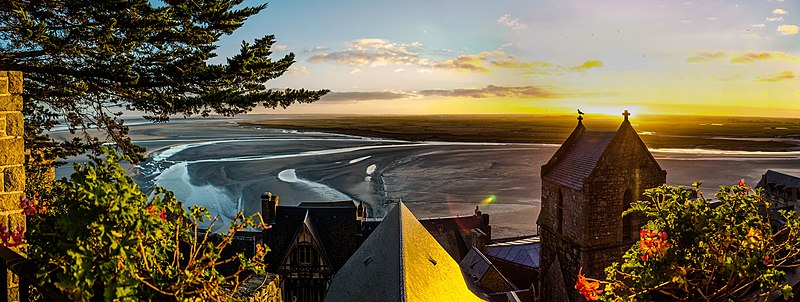
| Description | baie du Mont Saint Michel |
| Date | |
| Source | baie du Mont Saint Michel |
| Author | Angelo Brathot from Sologne-France |
| Camera location | | View this and other nearby images on: OpenStreetMap |
|---|
.jpg¶ms=048.636362_N_-001.511213_E_globe:Earth_type:camera_alt:38.8914_source:exif_&language=en)
Licensing
[edit].jpg&action=edit§ion=2)
This work has been released into the public domain by the author on Flickr, where the author has declared it as a "Public Domain Work" and tagged it with the Creative Commons Public Domain Mark.
|
||
The Public Domain Mark (PDM) is not a copyright license, but a symbol used to indicate that a work is in the public domain. When it is applied by the author or the copyright holder, community consensus has decided such works as being public domain in the US and countries where it is legally possible to release own work to the public domain. In the countries where this is not possible, the copyright status of the work remains undetermined.
| ||
If a file is tagged with Public Domain Mark by someone other than the author or the copyright holder, a more specific copyright tag such as one found at Commons:Copyright tags/General public domain must be applied. If this is your own work, please use {{Cc-zero}} instead.
|
| This image was originally posted to Flickr by angelobrathot at https://flickr.com/photos/147755034@N05/43370902314. It was reviewed on 13 October 2021 by FlickreviewR 2 and was confirmed to be licensed under the terms of the Public Domain Mark. |
File history
Click on a date/time to view the file as it appeared at that time.
| Date/Time | Thumbnail | Dimensions | User | Comment | |
|---|---|---|---|---|---|
| current | 05:58, 13 October 2021 | 5,472 × 2,066 (5.99 MB) | Ltn12345 (talk | contribs) | Transferred from Flickr via #flickr2commons |
You cannot overwrite this file.
File usage on Commons
There are no pages that use this file.
.jpg&oldid=865116926)