File:Bahnhof Wil Karte.png
Original file (3,812 × 2,140 pixels, file size: 11.2 MB, MIME type: image/png)
Captions
Captions
Summary
[edit]
| Description |
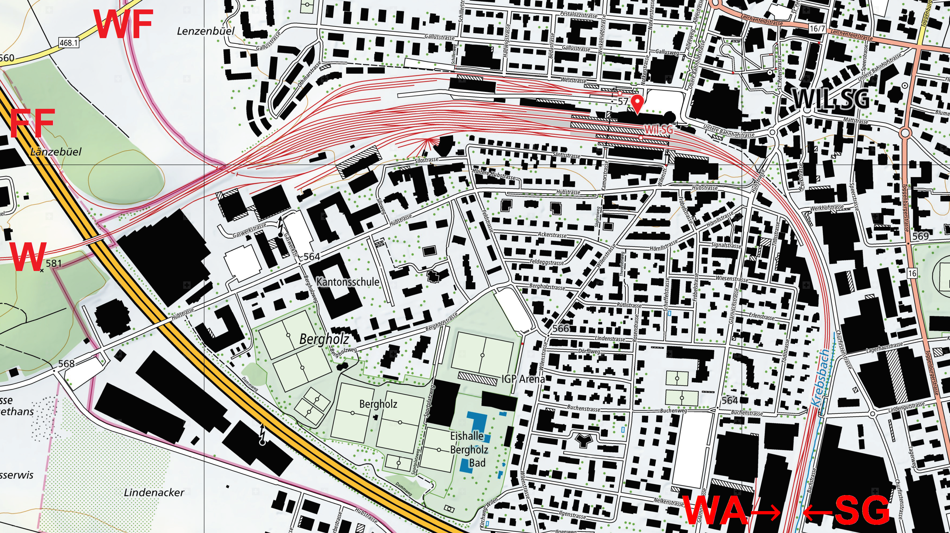
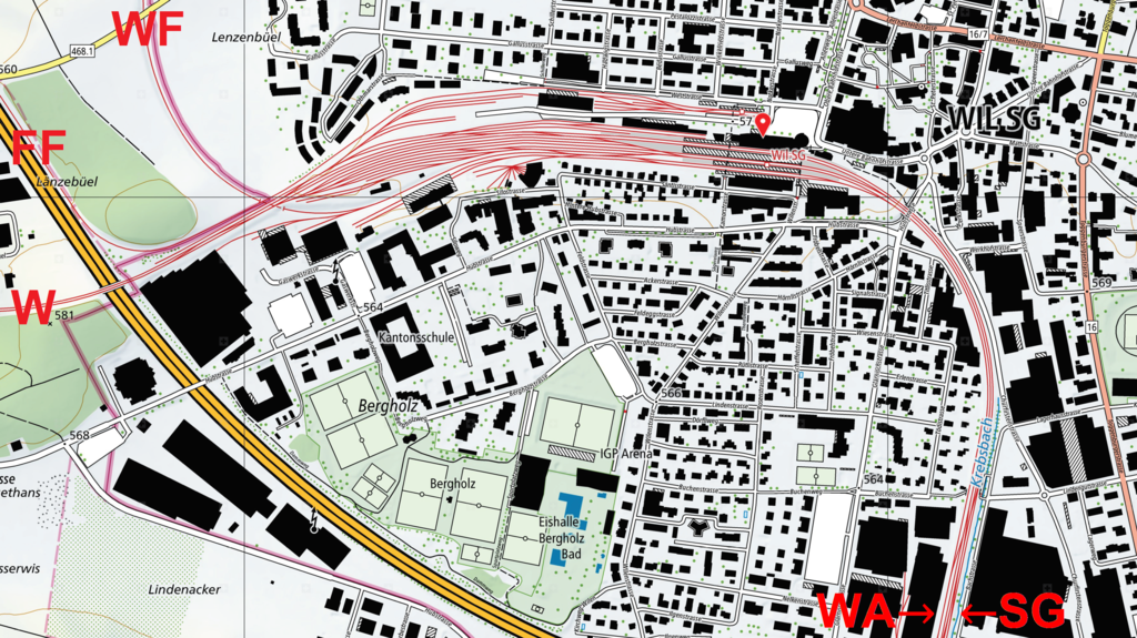
Deutsch: Ausschnitt aus der Landeskarte 1 : 5000 FF: FW nach Frauenfeld SG: SBB nach St. Gallen W: SBB nach Winterthur WA: SBB nach Wattwil WF: Thurbo nach Weinfelden |
| Date | |
| Source | swisstopo |
| Author | Bundesamt für Landestopografie swisstopo |
Licensing
[edit]
The data made publicly available by swisstopo may be used, distributed and made accessible. Furthermore, they may be enriched and processed and also used commercially. A reference to the source is mandatory. In the case of digital or analogue representations and publications, as well as in the case of dissemination, one of the following source references must be attached in any case:
Terms of use for free geodata and geoservices (OGD) from swisstopo
|
.svg) |
File history
Click on a date/time to view the file as it appeared at that time.
| Date/Time | Thumbnail | Dimensions | User | Comment | |
|---|---|---|---|---|---|
| current | 18:27, 5 March 2021 | | 3,812 × 2,140 (11.2 MB) | Plutowiki (talk | contribs) | Uploaded own work with UploadWizard |
You cannot overwrite this file.
File usage on Commons
The following 3 pages use this file:
File usage on other wikis
The following other wikis use this file:
- Usage on de.wikipedia.org
- Usage on eo.wikipedia.org