File:Bad Mergentheim Umland - eine Windkraftanlage.jpg
Jump to navigation
Jump to search
Size of this preview: 800 × 462 pixels. Other resolutions: 320 × 185 pixels | 640 × 369 pixels | 1,024 × 591 pixels | 1,280 × 738 pixels | 1,983 × 1,144 pixels.
Original file (1,983 × 1,144 pixels, file size: 2.73 MB, MIME type: image/jpeg)
Captions
Captions
Add a one-line explanation of what this file represents
Summary
[edit]| Description |
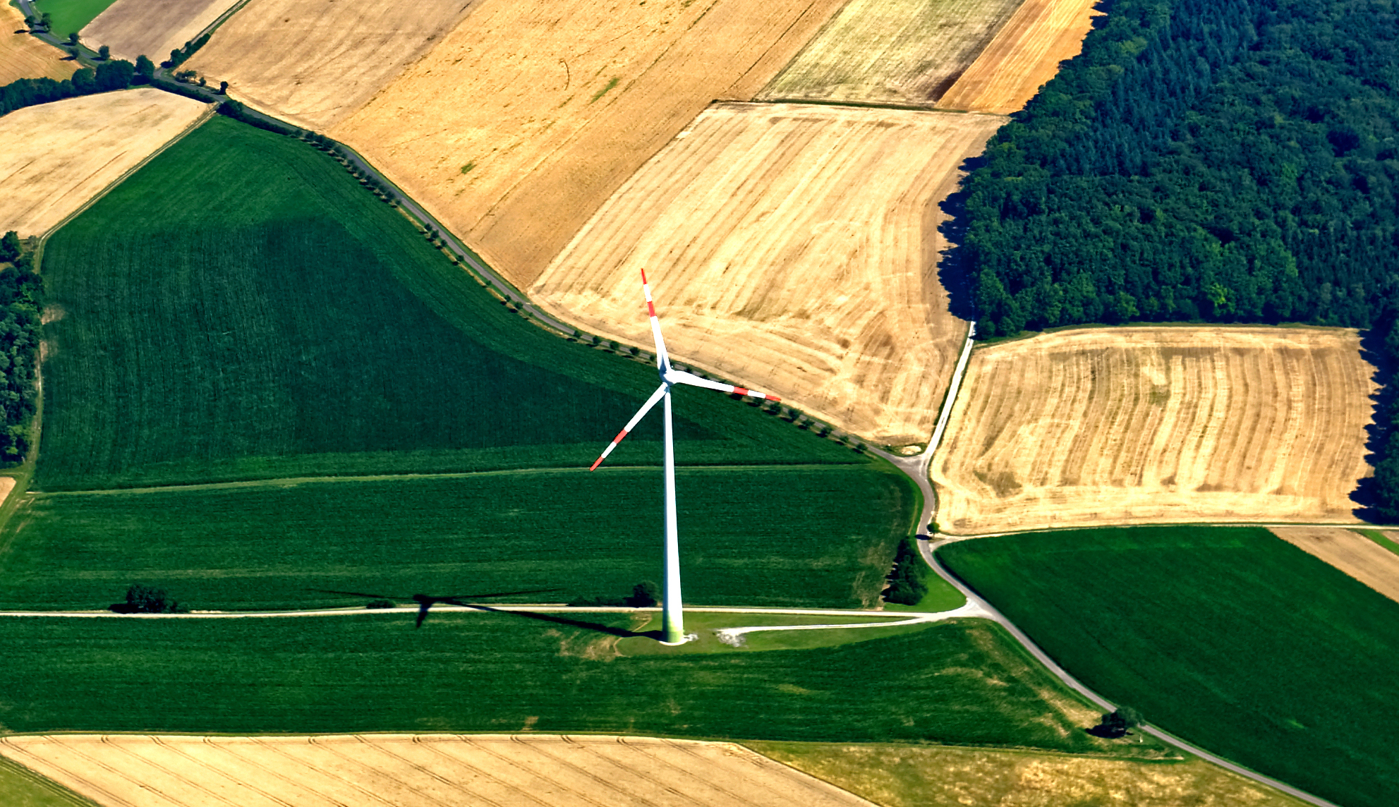
Deutsch: Bad Mergentheim, Luftaufnahmen einiger Teilorte. In der Bildmitte "Hachtel"; am rechten Bildrand "Dörtel".
English: Bad Mergentheim, aerial photographs of some districts. |
| Date | |
| Source | Own work |
| Author | Holger Uwe Schmitt |
| Other versions |

Licensing
[edit]
I, the copyright holder of this work, hereby publish it under the following license:
This file is licensed under the Creative Commons Attribution-Share Alike 4.0 International license.
- You are free:
- to share – to copy, distribute and transmit the work
- to remix – to adapt the work
- Under the following conditions:
- attribution – You must give appropriate credit, provide a link to the license, and indicate if changes were made. You may do so in any reasonable manner, but not in any way that suggests the licensor endorses you or your use.
- share alike – If you remix, transform, or build upon the material, you must distribute your contributions under the same or compatible license as the original.
File history
Click on a date/time to view the file as it appeared at that time.
| Date/Time | Thumbnail | Dimensions | User | Comment | |
|---|---|---|---|---|---|
| current | 13:15, 21 August 2022 | | 1,983 × 1,144 (2.73 MB) | Triplec85 (talk | contribs) | File:Bad Mergentheim Ortsteil Hachtel 1.jpg cropped 53 % horizontally, 60 % vertically using CropTool with precise mode. |
You cannot overwrite this file.
File usage on Commons
The following 3 pages use this file:
Metadata
Categories:
- Aerial photographs of Bad Mergentheim
- 2014 aerial photographs of Main-Tauber-Kreis
- Wind turbines in Bad Mergentheim
- Shadows of wind turbines in Main-Tauber-Kreis
- 1 wind turbine in Main-Tauber-Kreis
- Fields in Bad Mergentheim in July
- Fields in Hachtel (Bad Mergentheim)
- Grain fields in Bad Mergentheim
- Views of Hachtel (Bad Mergentheim)
- Dörtel