File:Bachsee-SO-Pano.jpg
Jump to navigation
Jump to search

Size of this preview: 800 × 327 pixels. Other resolutions: 320 × 131 pixels | 640 × 261 pixels | 1,024 × 418 pixels | 1,280 × 523 pixels | 3,792 × 1,549 pixels.
Original file (3,792 × 1,549 pixels, file size: 1.54 MB, MIME type: image/jpeg)
Captions
Captions
Add a one-line explanation of what this file represents
Summary
[edit]
![]() Switzerland
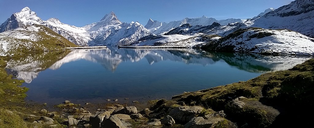
Switzerland ![]() Canton of Bern - Berner Alpen 2.265 m ü. M.
Canton of Bern - Berner Alpen 2.265 m ü. M.
| Description |
Deutsch: Panorama über den unteren Bachsee nach Ostsüdost bis Südsüdwest. |
| Date | Taken on 21 September 2017, 16:27:31 |
| Source | Own work |
| Author | FkMohr, Fotografin Supakon Mohr |
| Camera location | | View this and other nearby images on: OpenStreetMap |
|---|
BE {PH170921-1627} Bild aus zwei Fotos im Abstand von 7 s zusammengesetzt von Friedrich-Karl Mohr.

|
NOTE: This image is a panorama consisting of multiple frames that were merged or stitched in software. As a result, this image necessarily underwent some form of digital manipulation. These manipulations may include blending, blurring, cloning, and colour and perspective adjustments. As a result of these adjustments, the image content may be slightly different from reality at the points where multiple images were combined. This manipulation is often required due to lens, perspective, and parallax distortions.
|
Licensing
[edit]
Supakon Mohr, the copyright holder of this work, hereby publishes it under the following license:
This file is licensed under the Creative Commons Attribution-Share Alike 3.0 Germany license.
Attribution: Supakon Mohr
- You are free:
- to share – to copy, distribute and transmit the work
- to remix – to adapt the work
- Under the following conditions:
- attribution – You must give appropriate credit, provide a link to the license, and indicate if changes were made. You may do so in any reasonable manner, but not in any way that suggests the licensor endorses you or your use.
- share alike – If you remix, transform, or build upon the material, you must distribute your contributions under the same or compatible license as the original.

| Annotations | This image is annotated: View the annotations at Commons |
File history
Click on a date/time to view the file as it appeared at that time.
| Date/Time | Thumbnail | Dimensions | User | Comment | |
|---|---|---|---|---|---|
| current | 11:35, 24 September 2017 | 3,792 × 1,549 (1.54 MB) | FkMohr (talk | contribs) | Modified EXIF-Data | |
| 19:38, 23 September 2017 | 3,792 × 1,549 (1.54 MB) | FkMohr (talk | contribs) | User created page with UploadWizard |
You cannot overwrite this file.
File usage on Commons
There are no pages that use this file.