File:BUCKLE (FindID 1013416).jpg
Original file (1,831 × 2,516 pixels, file size: 689 KB, MIME type: image/jpeg)
Captions
Captions
Summary
[edit].jpg&action=edit§ion=1)
| BUCKLE | |||
|---|---|---|---|
| Photographer |
Somerset County Council, Wil Partridge, 2018-05-14 16:00:41 |
||
| Title |
BUCKLE |
||
| Description |
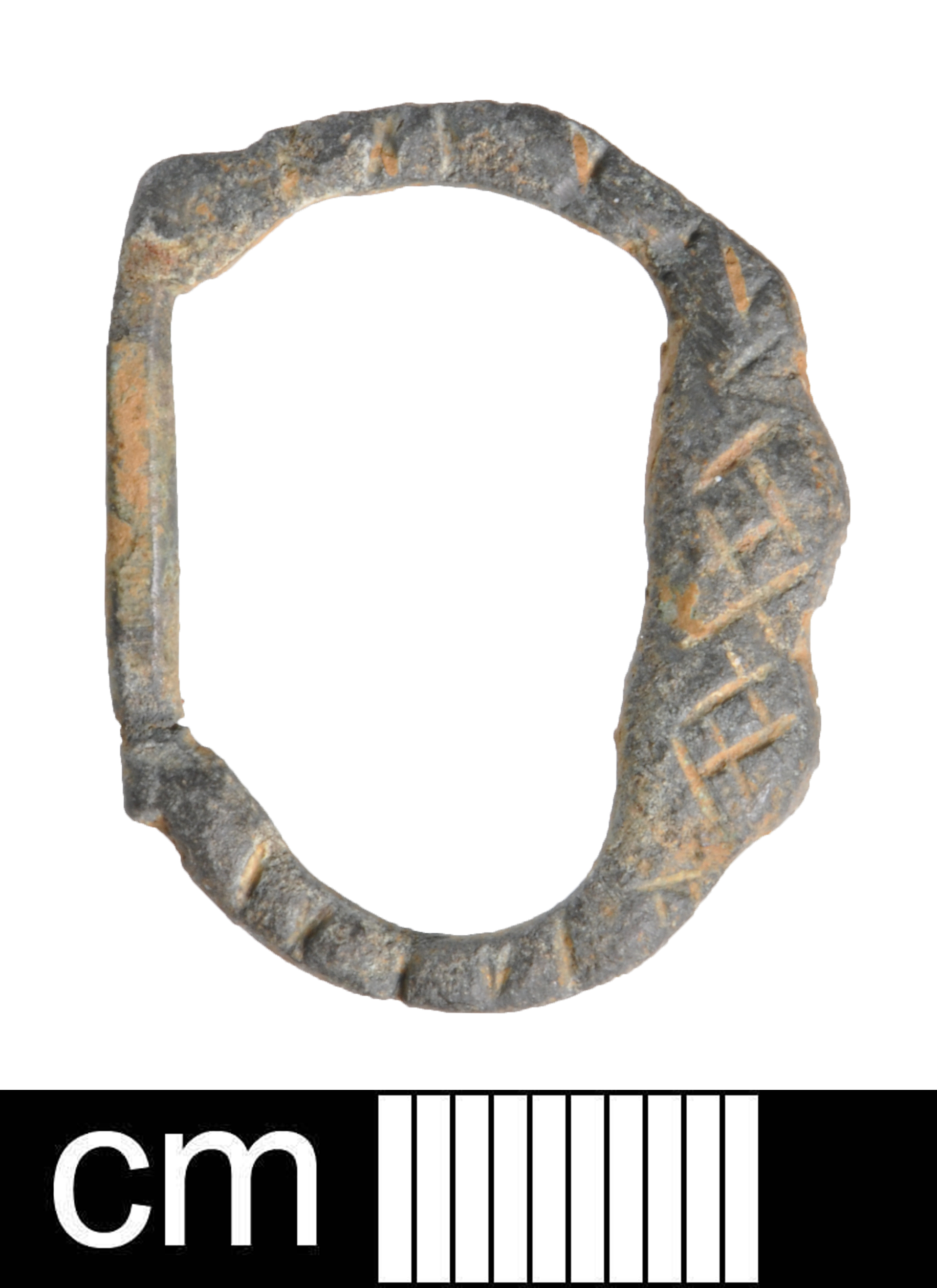
English: A fragment of a Post-Medieval lead cloth seal dating to the period c. AD 1500 - 1700
The surviving part consists of two incomplete discs with an integral rivet extending from the reverse of one, threading through a circular hole on the second and then being stamped flat over to hold them together. The connecting strip for these seals is missing as is the the a large portion of disc 2. Disc 1, the un-pierced disc is circular in plan. Its outside surface is plain and undecorated. Disc 2 is may have been circular in plan however, all that now survives is an oval section that was squashed flat together with the rivet. The surviving outer surface, which is mostly represented by the rivet, may have been decorated but too little detail can now be identified. The cloth seal is an off white colour The cloth seal is 18.8mm in diameter, 4.3mm thick and weighs 5.45 grams. Cloth Seals are typically used between the 16th and 18th century. This was probably a cloth seal used by a clothier, weaver, dyer or searcher. |
||
| Depicted place | (County of findspot) Oxfordshire | ||
| Date | between 1500 and 1700 | ||
| Accession number |
FindIdentifier: finds-1013416 Old ref: OXON-704BAC Filename: OXON704BAC.jpg |
||
| Credit line |
|
||
| Source |
https://finds.org.uk/database/ajax/download/id/1013416 Catalog: https://finds.org.uk/database/images/image/id/1013416/recordtype/artefacts archive copy at the Wayback Machine Artefact: https://finds.org.uk/database/artefacts/record/id/1013416 |
||
| Permission (Reusing this file) |
Attribution License | ||
| Object location | | View this and other nearby images on: OpenStreetMap |
|---|
.jpg¶ms=051.883800_N_-001.269380_E_globe:Earth_class:object_type:object__&language=en)
Licensing
[edit].jpg&action=edit§ion=2)
- You are free:
- to share – to copy, distribute and transmit the work
- to remix – to adapt the work
- Under the following conditions:
- attribution – You must give appropriate credit, provide a link to the license, and indicate if changes were made. You may do so in any reasonable manner, but not in any way that suggests the licensor endorses you or your use.
File history
Click on a date/time to view the file as it appeared at that time.
| Date/Time | Thumbnail | Dimensions | User | Comment | |
|---|---|---|---|---|---|
| current | 00:55, 27 October 2020 | | 1,831 × 2,516 (689 KB) | Fæ (talk | contribs) | Portable Antiquities Scheme, DEV, FindID: finds-1013416, post medieval, page 18, batch count 323 |
You cannot overwrite this file.
File usage on Commons
The following page uses this file:
.jpg)
.jpg&oldid=814393567)