File:BSicon gSKRZ-Yo.svg
Jump to navigation
Jump to search

Size of this PNG preview of this SVG file: 500 × 500 pixels. Other resolutions: 240 × 240 pixels | 480 × 480 pixels | 768 × 768 pixels | 1,024 × 1,024 pixels | 2,048 × 2,048 pixels.
Original file (SVG file, nominally 500 × 500 pixels, file size: 440 bytes)
Captions
Captions
Add a one-line explanation of what this file represents
Summary
[edit]
| Description |
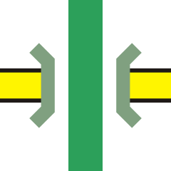
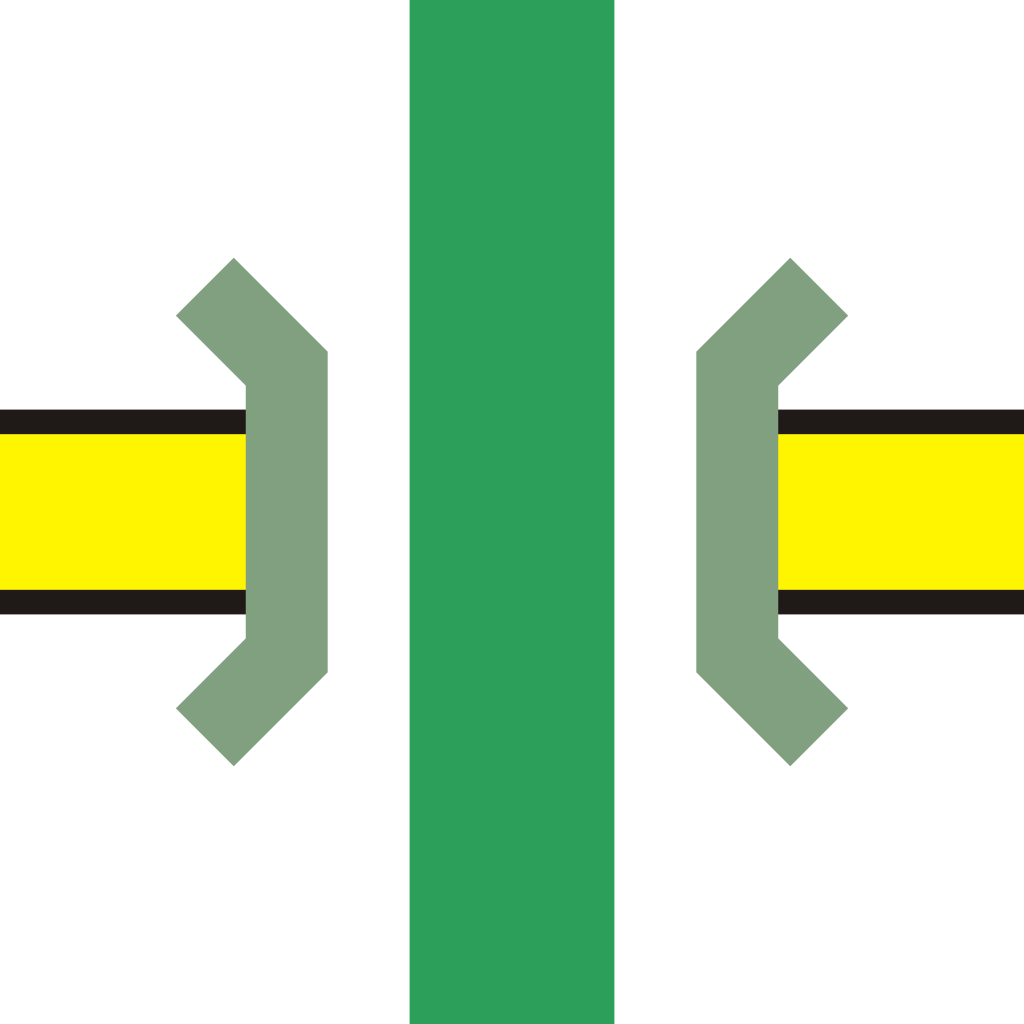
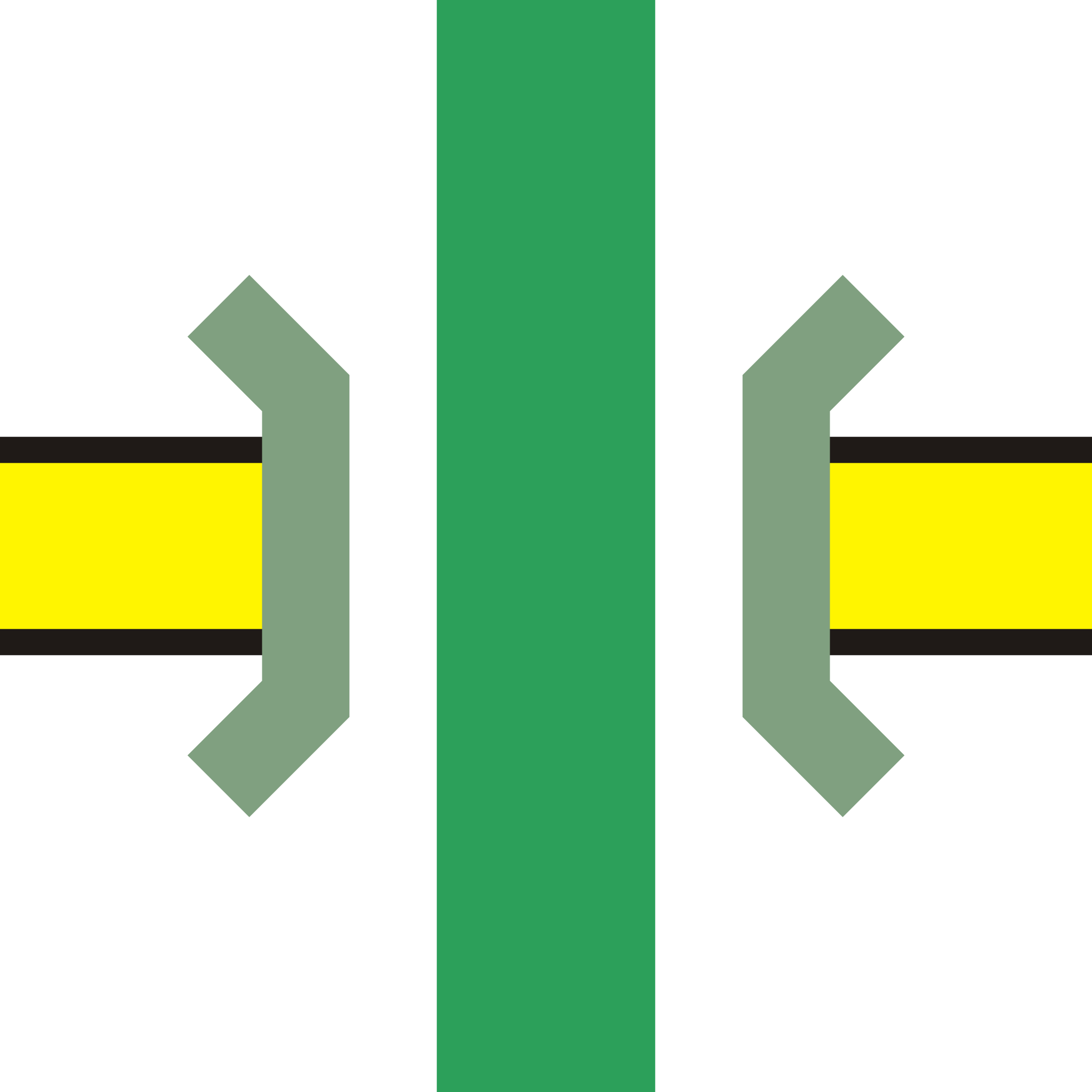
English: Unwatered aqueduct over B-road icon |
| Date | |
| Source | Own work |
| Author | Bob1960evens |
| SVG development | This BSicon was created with a text editor. |
Licensing
[edit]
| This image of simple geometry is ineligible for copyright and therefore in the public domain, because it consists entirely of information that is common property and contains no original authorship. |  |
File history
Click on a date/time to view the file as it appeared at that time.
| Date/Time | Thumbnail | Dimensions | User | Comment | |
|---|---|---|---|---|---|
| current | 05:38, 26 December 2022 | | 500 × 500 (440 bytes) | Minorax (talk | contribs) | trim // Editing SVG source code using c:User:Rillke/SVGedit.js |
| 18:40, 28 October 2007 |  | 500 × 500 (1 KB) | Bob1960evens (talk | contribs) | {{Information |Description=Unwatered aqueduct over B-road icon |Source=self-made |Date=28 Oct 2007 |Author= Bob1960evens }} Category:Icons for canal descriptions |
You cannot overwrite this file.
File usage on Commons
The following 7 pages use this file:
- BSicon/Catalogue/watercourses
- BSicon/Catalogue/watercourses/infrastructure
- User:JJMC89 bot/report/BSicons/changes/2017-03
- User:JJMC89 bot/report/BSicons/changes/2022-03
- User:JJMC89 bot/report/BSicons/changes/2022-12 (04)
- User:JJMC89 bot/report/BSicons/logs/move/2014-05
- User:JJMC89 bot/report/BSicons/logs/upload/2022-12
File usage on other wikis
The following other wikis use this file:
- Usage on cy.wikipedia.org
- Usage on en.wikipedia.org
- Lancaster Canal
- Grand Western Canal
- Chard Canal
- Uttoxeter Canal
- Somerset Coal Canal
- Shrewsbury Canal
- Cannock Extension Canal
- Template:Cannock Extension Canal map
- Template:Lancaster Canal map
- Template:Shrewsbury Canal map
- Template:Grand Western Canal map
- Template:Chard Canal map
- Template:Somerset Coal Canal map
- Template:Uttoxeter Canal map
- User:Spoonfrog/Template:SCC
- Usage on fr.wikipedia.org
- Sentier de grande randonnée 2
- Utilisateur:Barbe-sauvage/Racagnac
- Sentier de grande randonnée R2
- Sentier de grande randonnée 34
- Sentier de grande randonnée 3
- Sentier de grande randonnée 97
- Sentier de grande randonnée 67
- Sentier de grande randonnée 53
- Sentier de grande randonnée 59
- Wikipédia:Le Bistro/10 avril 2013
- Modèle:Légende sentier
- Sentier de grande randonnée 532
- Sentier de grande randonnée 533
- Chemin Urbain V
- Sentier de grande randonnée 16
- Sentier de grande randonnée de pays de la Déodatie
- Sentier de grande randonnée 69
- Usage on ja.wikipedia.org
- Usage on mk.wikipedia.org
- Usage on ru.wikipedia.org