File:BMHWmaps.svg
Jump to navigation
Jump to search

Size of this PNG preview of this SVG file: 594 × 455 pixels. Other resolutions: 313 × 240 pixels | 627 × 480 pixels | 1,003 × 768 pixels | 1,280 × 980 pixels | 2,560 × 1,961 pixels.
Original file (SVG file, nominally 594 × 455 pixels, file size: 69 KB)
Captions
Captions
Add a one-line explanation of what this file represents
| Description |
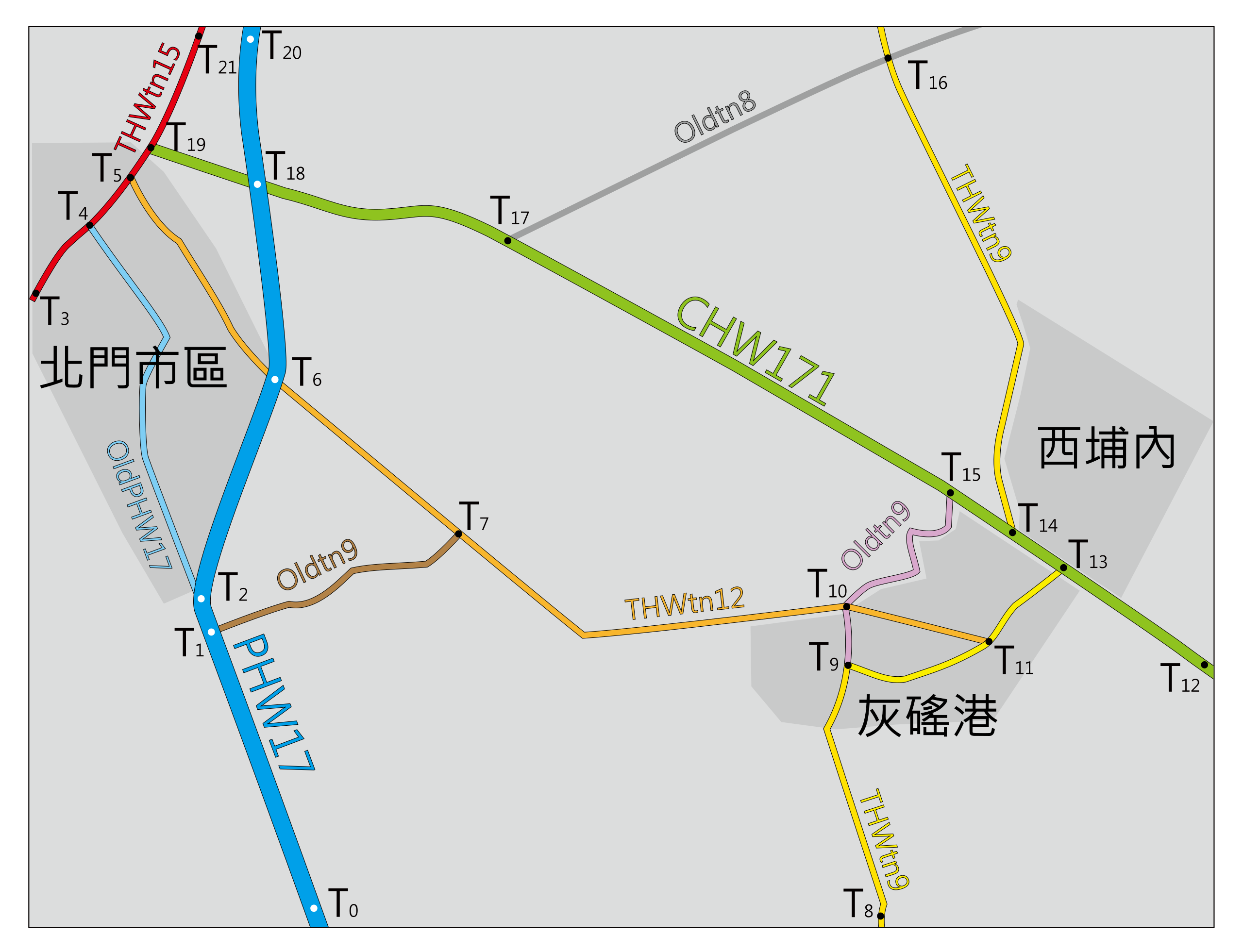
中文(臺灣):台南縣北門鄉公路地圖 |
||
| Date | |||
| Source | Own work | ||
| Author | ICEFTP | ||
| Permission (Reusing this file) |
|
File history
Click on a date/time to view the file as it appeared at that time.
| Date/Time | Thumbnail | Dimensions | User | Comment | |
|---|---|---|---|---|---|
| current | 02:55, 2 October 2010 | | 594 × 455 (69 KB) | ICEFTP (talk | contribs) | Add map borders. |
| 02:53, 2 October 2010 |  | 594 × 455 (69 KB) | ICEFTP (talk | contribs) | Update road marks. | |
| 01:03, 26 August 2010 |  | 595 × 455 (64 KB) | ICEFTP (talk | contribs) | Correct some road routes. | |
| 04:36, 24 August 2010 |  | 595 × 455 (65 KB) | ICEFTP (talk | contribs) | Update mark points & correct some mistakes. | |
| 01:27, 24 August 2010 |  | 586 × 451 (57 KB) | ICEFTP (talk | contribs) | {{Information |Description={{zh-tw|1=台南縣北門鄉公路地圖}} |Source={{own}} |Author=ICEFTP |Date=2010-08-24 |Permission={{PD-self}} |other_versions= }} Category:Maps of Tainan County Category:SVG maps of Tainan |
You cannot overwrite this file.
File usage on Commons
The following page uses this file: