File:BFH Tretrad 4.jpg
Jump to navigation
Jump to search

Size of this preview: 800 × 584 pixels. Other resolutions: 320 × 234 pixels | 640 × 467 pixels | 1,024 × 748 pixels | 1,280 × 935 pixels | 2,560 × 1,869 pixels | 3,468 × 2,532 pixels.
Original file (3,468 × 2,532 pixels, file size: 639 KB, MIME type: image/jpeg)
Captions
Captions
Add a one-line explanation of what this file represents
Summary
[edit]
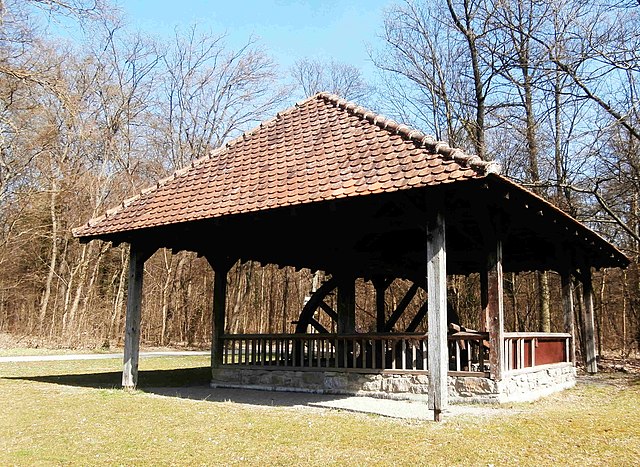
| Description | Historisches Tretrad des Salzbergwerks. |
| Date | |
| Source | Own work |
| Author | Sarang |
| Object location | | View this and other nearby images on: OpenStreetMap |
|---|
Licensing
[edit]
| I, the copyright holder of this work, release this work into the public domain. This applies worldwide. In some countries this may not be legally possible; if so: I grant anyone the right to use this work for any purpose, without any conditions, unless such conditions are required by law. |
File history
Click on a date/time to view the file as it appeared at that time.
| Date/Time | Thumbnail | Dimensions | User | Comment | |
|---|---|---|---|---|---|
| current | 15:36, 28 March 2021 | | 3,468 × 2,532 (639 KB) | Sarang (talk | contribs) | {{Information |Description=Historisches Tretrad des Salzbergwerks. |Date=2021-03-28 |Source={{own}} |Author={{U|Sarang}} }} {{Object location|49°14′04.9″N 09°12′01″E|dim:280}} == {{int:license-header}} == {{PD-self}} 104 |
You cannot overwrite this file.
File usage on Commons
The following 2 pages use this file: