File:BE-REDU-map.png
Jump to navigation
Jump to search
No higher resolution available.
BE-REDU-map.png (329 × 353 pixels, file size: 20 KB, MIME type: image/png)
Captions
Captions
Add a one-line explanation of what this file represents
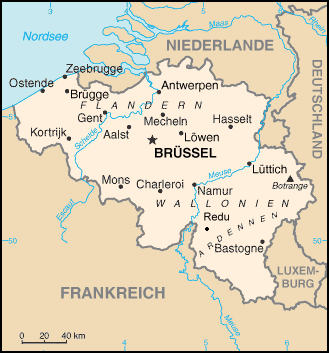
Source: old version of Image:Be-map.png which still shows the village Redu.
This image is in the public domain because it contains materials that originally came from the United States Central Intelligence Agency's World Factbook.
|
 |
derivative works
[edit]
Derivative works of this file: BelgiumGeography.png
File history
Click on a date/time to view the file as it appeared at that time.
| Date/Time | Thumbnail | Dimensions | User | Comment | |
|---|---|---|---|---|---|
| current | 15:06, 7 July 2007 | | 329 × 353 (20 KB) | Dantor (talk | contribs) | Source: old version of Image:Be-map.png which still shows the village Redu. |
You cannot overwrite this file.
File usage on Commons
The following page uses this file:
File usage on other wikis
The following other wikis use this file:
- Usage on de.wikipedia.org
- Usage on de.wikibooks.org