File:BD Tangail District locator map.svg
Jump to navigation
Jump to search

Size of this PNG preview of this SVG file: 441 × 600 pixels. Other resolutions: 176 × 240 pixels | 353 × 480 pixels | 565 × 768 pixels | 753 × 1,024 pixels | 1,506 × 2,048 pixels | 1,129 × 1,535 pixels.
Original file (SVG file, nominally 1,129 × 1,535 pixels, file size: 1.64 MB)
Captions
Captions
Add a one-line explanation of what this file represents
Summary
[edit]
| Description |
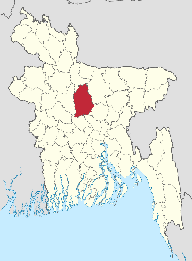
বাংলা: বাংলাদেশে টাঙ্গাইল জেলার অবস্থান। English: District of Tangail |
| Source | BD Districts LOC.svg |
| Author | Nafsadh |
| SVG development | This map was created with Adobe Illustrator. |
Licensing
[edit]
| I, the copyright holder of this work, release this work into the public domain. This applies worldwide. In some countries this may not be legally possible; if so: I grant anyone the right to use this work for any purpose, without any conditions, unless such conditions are required by law. |
File history
Click on a date/time to view the file as it appeared at that time.
| Date/Time | Thumbnail | Dimensions | User | Comment | |
|---|---|---|---|---|---|
| current | 06:53, 4 November 2021 | | 1,129 × 1,535 (1.64 MB) | C1MM (talk | contribs) | updated bounds |
| 09:16, 23 February 2016 |  | 1,550 × 2,150 (81 KB) | NordNordWest (talk | contribs) | upd | |
| 01:44, 25 October 2014 |  | 1,550 × 2,150 (80 KB) | Nafsadh (talk | contribs) | Borders and other enhancements | |
| 00:33, 25 October 2014 |  | 1,531 × 2,138 (80 KB) | Nafsadh (talk | contribs) | Wikipedia:WikiProject_Maps/Conventions | |
| 09:31, 21 October 2014 |  | 1,531 × 2,138 (81 KB) | Nafsadh (talk | contribs) | {{Information |Description ={{en|1=District of Tangail}} |Source =BD Districts LOC.svg |Author =Nafsadh |Date = |Permission = |other_versions = }} Category:Districts of Bangladesh Category:Tangail District |
You cannot overwrite this file.
File usage on Commons
The following 4 pages use this file:
- File:BD Dhaka Tangail locator map.svg (file redirect)
- File:BD Tangail locator map.svg (file redirect)
- Category:Tangail District
- Category:Upazilas of Tangail District
File usage on other wikis
The following other wikis use this file:
- Usage on bn.wikipedia.org
- টাঙ্গাইল জেলা
- বাসাইল উপজেলা
- দেলদুয়ার উপজেলা
- ঘাটাইল উপজেলা
- গোপালপুর উপজেলা
- কালিহাতী উপজেলা
- মধুপুর উপজেলা
- মির্জাপুর উপজেলা
- সখিপুর উপজেলা
- নাগরপুর উপজেলা
- টাঙ্গাইল সদর উপজেলা
- টেমপ্লেট:টাঙ্গাইল জেলা
- নারান্দিয়া ইউনিয়ন, কালিহাতী
- আলোকদিয়া ইউনিয়ন
- আউশনারা ইউনিয়ন
- অরণখোলা ইউনিয়ন
- গোলাবাড়ী ইউনিয়ন, মধুপুর
- ধোপাখালী ইউনিয়ন
- শোলাকুড়ী ইউনিয়ন
- মির্জাবাড়ী ইউনিয়ন
- নাগবাড়ী ইউনিয়ন
- বল্লা ইউনিয়ন
- দুর্গাপুর ইউনিয়ন, কালিহাতী
- সল্লা ইউনিয়ন
- গোহালিয়াবাড়ী ইউনিয়ন
- পারখি ইউনিয়ন
- পাইকড়া ইউনিয়ন
- কোকডহড়া ইউনিয়ন
- দশকিয়া ইউনিয়ন
- সহদেবপুর ইউনিয়ন
- বাংড়া ইউনিয়ন
- বীরবাসিন্দা ইউনিয়ন
- ধনবাড়ী উপজেলা
- বলিভদ্র ইউনিয়ন
- বানিয়াজান ইউনিয়ন, ধনবাড়ী
- বীরতারা ইউনিয়ন, ধনবাড়ী
- মুশুদ্দি ইউনিয়ন
- পাইস্কা ইউনিয়ন
- যদুনাথপুর ইউনিয়ন
- দেউলাবাড়ী ইউনিয়ন
- জামুরিয়া ইউনিয়ন
- লোকেরপাড়া ইউনিয়ন
- সন্ধানপুর ইউনিয়ন
- রসুলপুর ইউনিয়ন, ঘাটাইল
- ঘাটাইল ইউনিয়ন
- দিগড় ইউনিয়ন
- দিঘলকান্দি ইউনিয়ন
- ধলাপাড়া ইউনিয়ন
- দেওপাড়া ইউনিয়ন, ঘাটাইল
- আনেহলা ইউনিয়ন
View more global usage of this file.