File:BC Peace River.jpg
Jump to navigation
Jump to search

Size of this preview: 800 × 532 pixels. Other resolutions: 320 × 213 pixels | 640 × 426 pixels | 1,024 × 681 pixels | 1,280 × 852 pixels | 2,560 × 1,703 pixels | 4,752 × 3,162 pixels.
Original file (4,752 × 3,162 pixels, file size: 3.46 MB, MIME type: image/jpeg)
Captions
Captions
Add a one-line explanation of what this file represents
Summary
[edit]
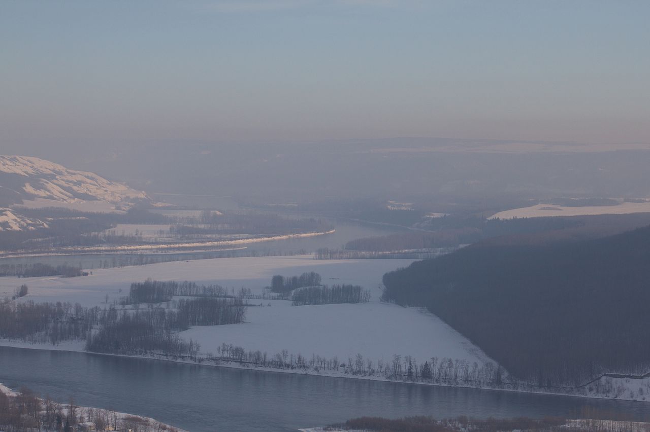
| Description | Some smoke and fog in the river valley. |
| Date | |
| Source | BC Peace River |
| Author | tuchodi from Fort St. John, BC, Canada |
| Camera location | | View this and other nearby images on: OpenStreetMap |
|---|
Licensing
[edit]
This file is licensed under the Creative Commons Attribution 2.0 Generic license.
- You are free:
- to share – to copy, distribute and transmit the work
- to remix – to adapt the work
- Under the following conditions:
- attribution – You must give appropriate credit, provide a link to the license, and indicate if changes were made. You may do so in any reasonable manner, but not in any way that suggests the licensor endorses you or your use.
| This image was originally posted to Flickr by tuchodi at https://www.flickr.com/photos/35034360491@N01/4344250517. It was reviewed on 20 October 2012 by FlickreviewR and was confirmed to be licensed under the terms of the cc-by-2.0. |
File history
Click on a date/time to view the file as it appeared at that time.
| Date/Time | Thumbnail | Dimensions | User | Comment | |
|---|---|---|---|---|---|
| current | 01:58, 20 October 2012 | | 4,752 × 3,162 (3.46 MB) | Geo Swan (talk | contribs) | {{Information |Description=Some smoke and fog in the river valley. |Source=[http://www.flickr.com/photos/tuchodi/4344250517/ BC Peace River] |Date=2010-02-08 16:23 |Author=[http://www.flickr.com/people/35034360491@N01 tuchodi] from Fort St. John, BC, C... |
You cannot overwrite this file.
File usage on Commons
There are no pages that use this file.