File:BCA Puente Playa Duaba 2017-03.jpg
Jump to navigation
Jump to search
Size of this preview: 450 × 600 pixels. Other resolutions: 180 × 240 pixels | 360 × 480 pixels | 576 × 768 pixels | 1,200 × 1,600 pixels.
Original file (1,200 × 1,600 pixels, file size: 400 KB, MIME type: image/jpeg)
Captions
Captions
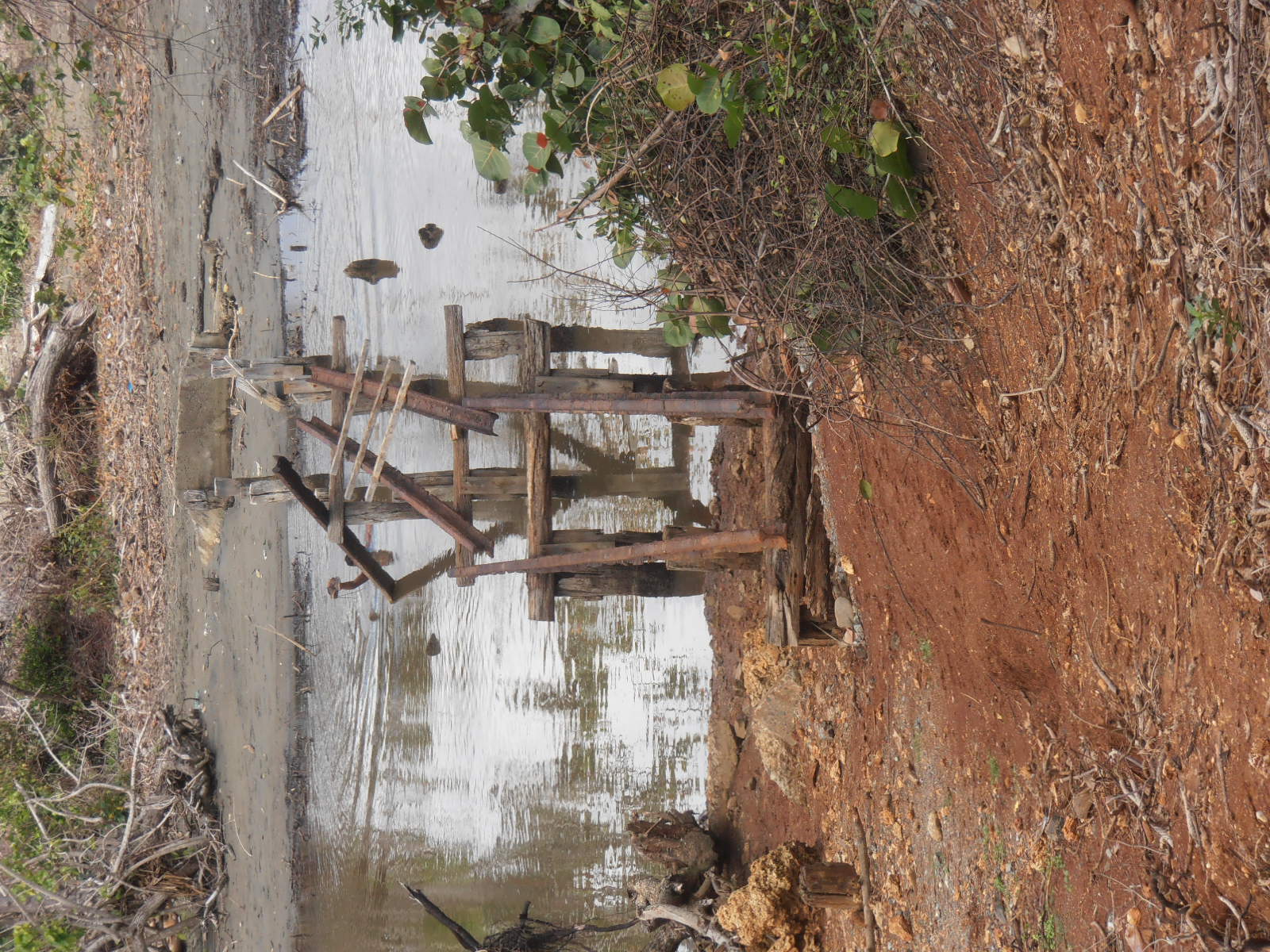
The boca Duaba foot bridge
Summary
[edit]
| Description |
English: Baracoa: Río Duaba bridge to the Playa Duaba.
Devastated 2016 by floods from Atlantic hurricane Matthew. |
| Date | |
| Source | Own work |
| Author | Sarang |
| Camera location | | View this and other nearby images on: OpenStreetMap |
|---|
Licensing
[edit]
| I, the copyright holder of this work, release this work into the public domain. This applies worldwide. In some countries this may not be legally possible; if so: I grant anyone the right to use this work for any purpose, without any conditions, unless such conditions are required by law. |
File history
Click on a date/time to view the file as it appeared at that time.
| Date/Time | Thumbnail | Dimensions | User | Comment | |
|---|---|---|---|---|---|
| current | 06:09, 28 May 2017 | | 1,200 × 1,600 (400 KB) | Sarang (talk | contribs) | == {{int:filedesc}} == {{Information |Description={{en|1={{W|Baracoa}}: {{W|Río Duaba}} bridge to the {{W|Playa Duaba}}. Devastated {{Plainlinks|http://reliefweb.int/report/cuba/baracoa-despu-s-de-matthew-sin-p-rdidas-humanas|2016}} by floods from {{w... |
You cannot overwrite this file.
File usage on Commons
The following page uses this file:
- File:Puente Playa Duaba 2016.jpg (file redirect)