File:BC99 at BC17 Aerial - Delta (50729596921).jpg
Jump to navigation
Jump to search
Size of this preview: 800 × 533 pixels. Other resolutions: 320 × 213 pixels | 640 × 427 pixels | 1,024 × 683 pixels | 1,280 × 853 pixels | 2,560 × 1,707 pixels | 3,600 × 2,400 pixels.
Original file (3,600 × 2,400 pixels, file size: 3.52 MB, MIME type: image/jpeg)
Captions
Captions
Add a one-line explanation of what this file represents
Summary
[edit].jpg&action=edit§ion=1)
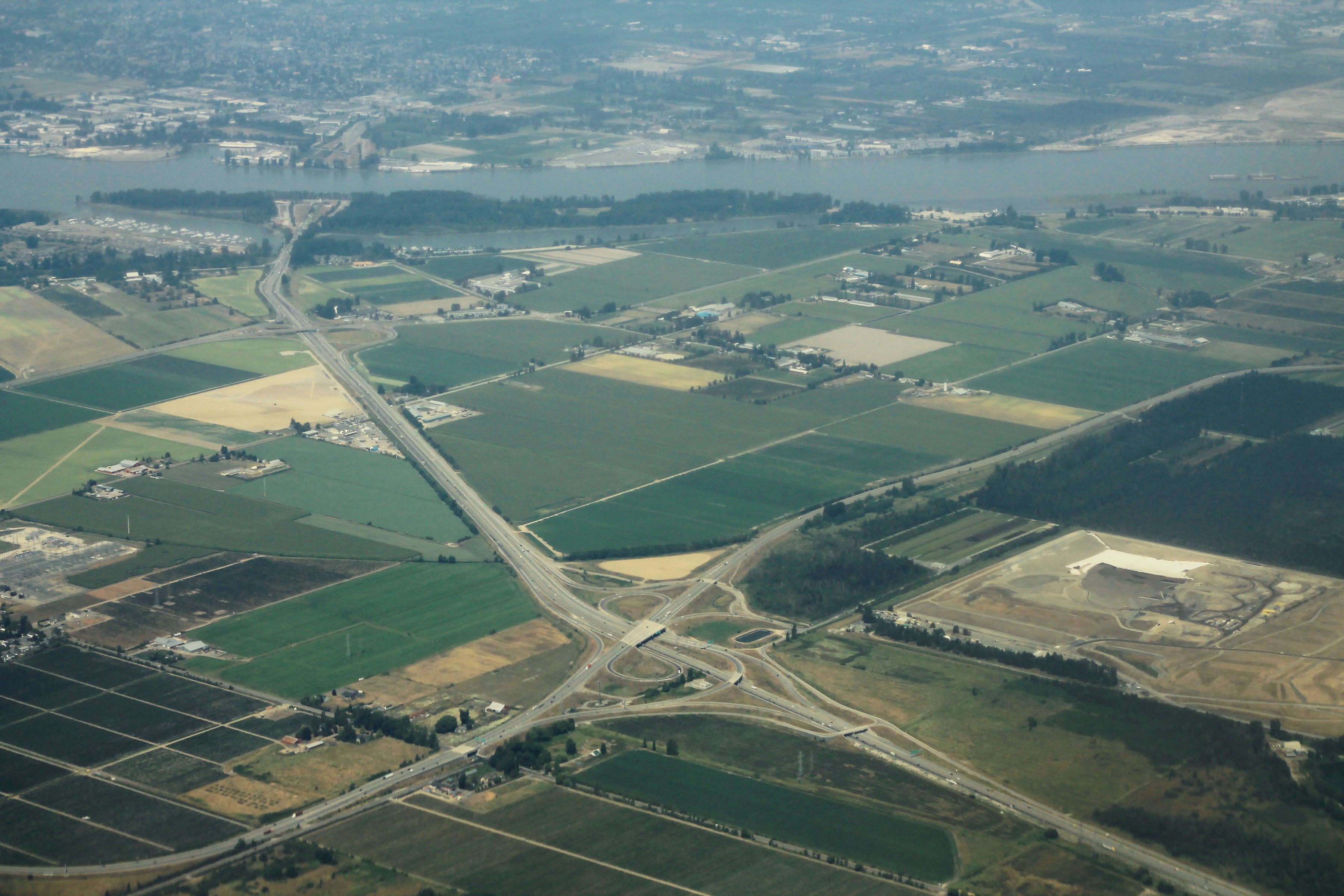
| Description | BC99 at BC17 Aerial - Delta |
| Date | |
| Source | BC99 at BC17 Aerial - Delta |
| Author | formulanone |
| Object location | | View this and other nearby images on: OpenStreetMap |
|---|
.jpg¶ms=049.095300_N_-123.026700_E_globe:Earth_class:object_type:object_region:CA-BC_&language=en)
Licensing
[edit].jpg&action=edit§ion=2)
This file is licensed under the Creative Commons Attribution-Share Alike 2.0 Generic license.
- You are free:
- to share – to copy, distribute and transmit the work
- to remix – to adapt the work
- Under the following conditions:
- attribution – You must give appropriate credit, provide a link to the license, and indicate if changes were made. You may do so in any reasonable manner, but not in any way that suggests the licensor endorses you or your use.
- share alike – If you remix, transform, or build upon the material, you must distribute your contributions under the same or compatible license as the original.
| This image was originally posted to Flickr by formulanone at https://flickr.com/photos/30552029@N00/50729596921. It was reviewed on 12 April 2021 by FlickreviewR 2 and was confirmed to be licensed under the terms of the cc-by-sa-2.0. |
| Annotations | This image is annotated: View the annotations at Commons |
.jpg)
File history
Click on a date/time to view the file as it appeared at that time.
| Date/Time | Thumbnail | Dimensions | User | Comment | |
|---|---|---|---|---|---|
| current | 11:52, 12 April 2021 | | 3,600 × 2,400 (3.52 MB) | Mindmatrix (talk | contribs) | Transferred from Flickr via #flickr2commons |
You cannot overwrite this file.
File usage on Commons
There are no pages that use this file.
Metadata
.jpg&oldid=810272145)
Categories:
- Aerial photographs of Delta, British Columbia
- Aerial photographs of highways in British Columbia
- British Columbia Highway 99 in Greater Vancouver
- Transport in Delta, British Columbia
- British Columbia Highway 17
- Aerial photographs of interchanges in British Columbia
- July 2018 in British Columbia
- 2018 aerial photographs of Canada