File:B3335 road at Coxs Hill, Twyford - geograph.org.uk - 450607.jpg
Jump to navigation
Jump to search
No higher resolution available.
B3335_road_at_Coxs_Hill,_Twyford_-_geograph.org.uk_-_450607.jpg (640 × 480 pixels, file size: 110 KB, MIME type: image/jpeg)
Captions
Captions
Add a one-line explanation of what this file represents
Summary
[edit]
| Description |
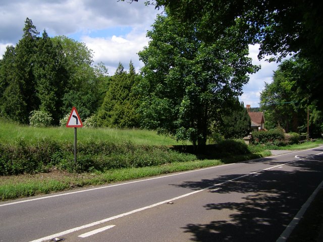
English: B3335 road at Coxs Hill, Twyford The B3335 road descends Coxs Hill on its way out of Twyford village towards the M3 junction. The house down the road is called "The Lodge" and looks like a gatehouse for Twyford Lodge, although Church Lane (which runs parallel to this piece of road) cuts across the 'drive' from the little Lodge to the larger Lodge. When this road bends to the left (as per the warning sign) it meets the junction with the north end of Church Lane. |
| Date | |
| Source | From geograph.org.uk |
| Author | Jim Champion |
| Attribution (required by the license) | Jim Champion / B3335 road at Coxs Hill, Twyford / |
| Camera location | | View this and other nearby images on: OpenStreetMap |
|---|
_heading:0.00&language=en)
| Object location | | View this and other nearby images on: OpenStreetMap |
|---|
_heading:0.00&language=en)
Licensing
[edit]

|
This image was taken from the Geograph project collection. See this photograph's page on the Geograph website for the photographer's contact details. The copyright on this image is owned by Jim Champion and is licensed for reuse under the Creative Commons Attribution-ShareAlike 2.0 license.
|
This file is licensed under the Creative Commons Attribution-Share Alike 2.0 Generic license.
Attribution: Jim Champion
- You are free:
- to share – to copy, distribute and transmit the work
- to remix – to adapt the work
- Under the following conditions:
- attribution – You must give appropriate credit, provide a link to the license, and indicate if changes were made. You may do so in any reasonable manner, but not in any way that suggests the licensor endorses you or your use.
- share alike – If you remix, transform, or build upon the material, you must distribute your contributions under the same or compatible license as the original.
File history
Click on a date/time to view the file as it appeared at that time.
| Date/Time | Thumbnail | Dimensions | User | Comment | |
|---|---|---|---|---|---|
| current | 14:11, 4 February 2011 | | 640 × 480 (110 KB) | GeographBot (talk | contribs) | == {{int:filedesc}} == {{Information |description={{en|1=B3335 road at Coxs Hill, Twyford The B3335 road descends Coxs Hill on its way out of Twyford village towards the M3 junction. The house down the road is called "The Lodge" and looks like a gatehouse |
You cannot overwrite this file.
File usage on Commons
There are no pages that use this file.