File:B26056152E - Isles Philippines et Moluques.jpg
Jump to navigation
Jump to search

Size of this preview: 457 × 599 pixels. Other resolutions: 183 × 240 pixels | 366 × 480 pixels | 586 × 768 pixels | 781 × 1,024 pixels | 1,562 × 2,048 pixels | 3,757 × 4,925 pixels.
Original file (3,757 × 4,925 pixels, file size: 4.48 MB, MIME type: image/jpeg)
Captions
Captions
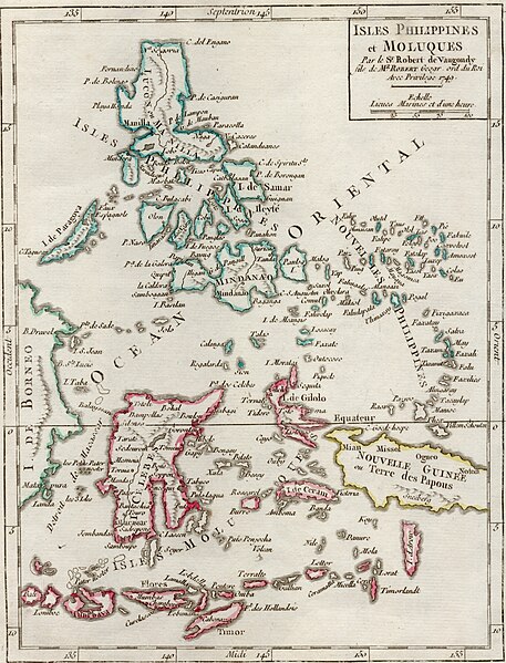
Map shows the Philippines extending southwards to the Moluccan Islands, Timor and Papua New Guinea.
Summary
[edit]
| Description |
English: This map is taken from second edition of Robert de Vaugondy's Atlas Portatif Universel et Militaire. It shows the Philippines extending southwards to the Moluccan Islands, Timor and Papua New Guinea. |
| Date | |
| Source | NLB Singapore, David Parry Southeast Asian Map Collection. Available on BookSG https://eresources.nlb.gov.sg/printheritage/detail/94f22cad-4507-4c96-b374-ba213db2ad21.aspx |
| Author | Robert de Vaugondy, Gilles, 1688-1766; Robert de Vaugondy, Gilles 1688-1766 |
Licensing
[edit]
| This file is made available under the Creative Commons CC0 1.0 Universal Public Domain Dedication. | |
| The person who associated a work with this deed has dedicated the work to the public domain by waiving all of their rights to the work worldwide under copyright law, including all related and neighboring rights, to the extent allowed by law. You can copy, modify, distribute and perform the work, even for commercial purposes, all without asking permission.
|
File history
Click on a date/time to view the file as it appeared at that time.
| Date/Time | Thumbnail | Dimensions | User | Comment | |
|---|---|---|---|---|---|
| current | 12:16, 30 December 2021 | | 3,757 × 4,925 (4.48 MB) | NLSingapore (talk | contribs) | Uploaded a work by Robert de Vaugondy, Gilles, 1688-1766; Robert de Vaugondy, Gilles 1688-1766 from NLB Singapore, David Parry Southeast Asian Map Collection. Available on BookSG https://eresources.nlb.gov.sg/printheritage/detail/94f22cad-4507-4c96-b374-ba213db2ad21.aspx with UploadWizard |
You cannot overwrite this file.
File usage on Commons
There are no pages that use this file.