File:Bølling (Ringkøbing Skjern).jpg
Jump to navigation
Jump to search

Size of this preview: 800 × 579 pixels. Other resolutions: 320 × 232 pixels | 640 × 463 pixels | 992 × 718 pixels.
Original file (992 × 718 pixels, file size: 348 KB, MIME type: image/jpeg)
Captions
Captions
Add a one-line explanation of what this file represents
Summary
[edit].jpg&action=edit§ion=1)
| Object location | | View this and other nearby images on: OpenStreetMap |
|---|
.jpg¶ms=055.976800_N_0008.554090_E_globe:Earth_class:object_type:church_region:DK_&language=en)
| Description |
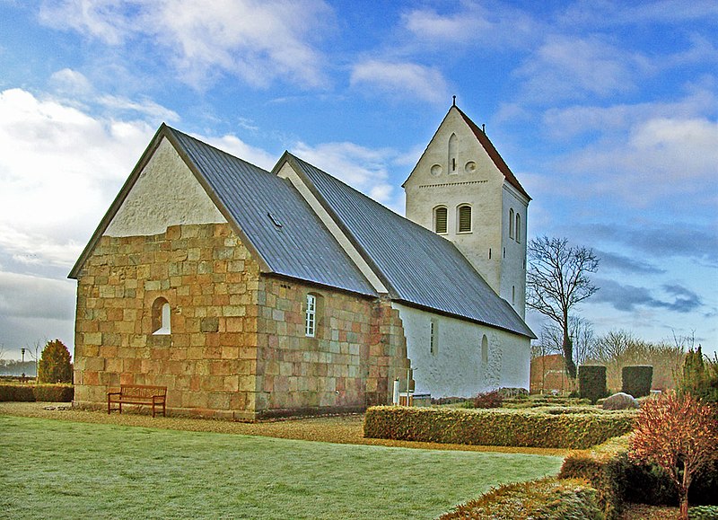
Dansk: Bølling - Ringkøbing-Skjern fra nordøst |
| Date | |
| Source | Own work |
| Author | Bococo |
| Camera location | | View this and other nearby images on: OpenStreetMap |
|---|
.jpg¶ms=055.976860_N_0008.554510_E_globe:Earth_type:camera__&language=en)
Licensing
[edit].jpg&action=edit§ion=2)
I, the copyright holder of this work, hereby publish it under the following license:
This file is licensed under the Creative Commons Attribution-Share Alike 3.0 Unported license.
- You are free:
- to share – to copy, distribute and transmit the work
- to remix – to adapt the work
- Under the following conditions:
- attribution – You must give appropriate credit, provide a link to the license, and indicate if changes were made. You may do so in any reasonable manner, but not in any way that suggests the licensor endorses you or your use.
- share alike – If you remix, transform, or build upon the material, you must distribute your contributions under the same or compatible license as the original.

|
Textual information (e.g. timestamp) once visible in the image itself has been moved into the image metadata and/or image description page. This makes the image easier to reuse and more language-neutral, and makes the text easier to process and search for. Commons discourages placing visible textual information in images. All licenses accepted on Commons permit this type of modification as a derivative work.
If attribution information were removed and the image is not public domain, replace this tag with {{Attribution metadata from licensed image}}.
|
File history
Click on a date/time to view the file as it appeared at that time.
| Date/Time | Thumbnail | Dimensions | User | Comment | |
|---|---|---|---|---|---|
| current | 02:04, 7 March 2019 | | 992 × 718 (348 KB) | Ras67 (talk | contribs) | losslessly cropped with Jpegcrop |
| 15:57, 1 December 2011 |  | 1,034 × 794 (387 KB) | Bococo (talk | contribs) | ||
| 15:57, 1 December 2011 | No thumbnail | 1,034 × 794 (387 KB) | Bococo (talk | contribs) |
You cannot overwrite this file.
File usage on Commons
The following page uses this file:
File usage on other wikis
The following other wikis use this file:
- Usage on da.wikipedia.org
- Usage on de.wikipedia.org
- Usage on nl.wikipedia.org
- Usage on www.wikidata.org
.jpg&oldid=901446459)