File:Böser Tritt zum Lünersee 2.JPG
From Wikimedia Commons, the free media repository
Jump to navigation
Jump to search
Size of this preview: 800 × 531 pixels. Other resolutions: 320 × 213 pixels | 640 × 425 pixels | 1,024 × 680 pixels | 1,280 × 850 pixels | 2,560 × 1,700 pixels | 4,288 × 2,848 pixels.
Original file (4,288 × 2,848 pixels, file size: 6.61 MB, MIME type: image/jpeg)
File information
Structured data
Captions
DescriptionBöser Tritt zum Lünersee 2.JPG |
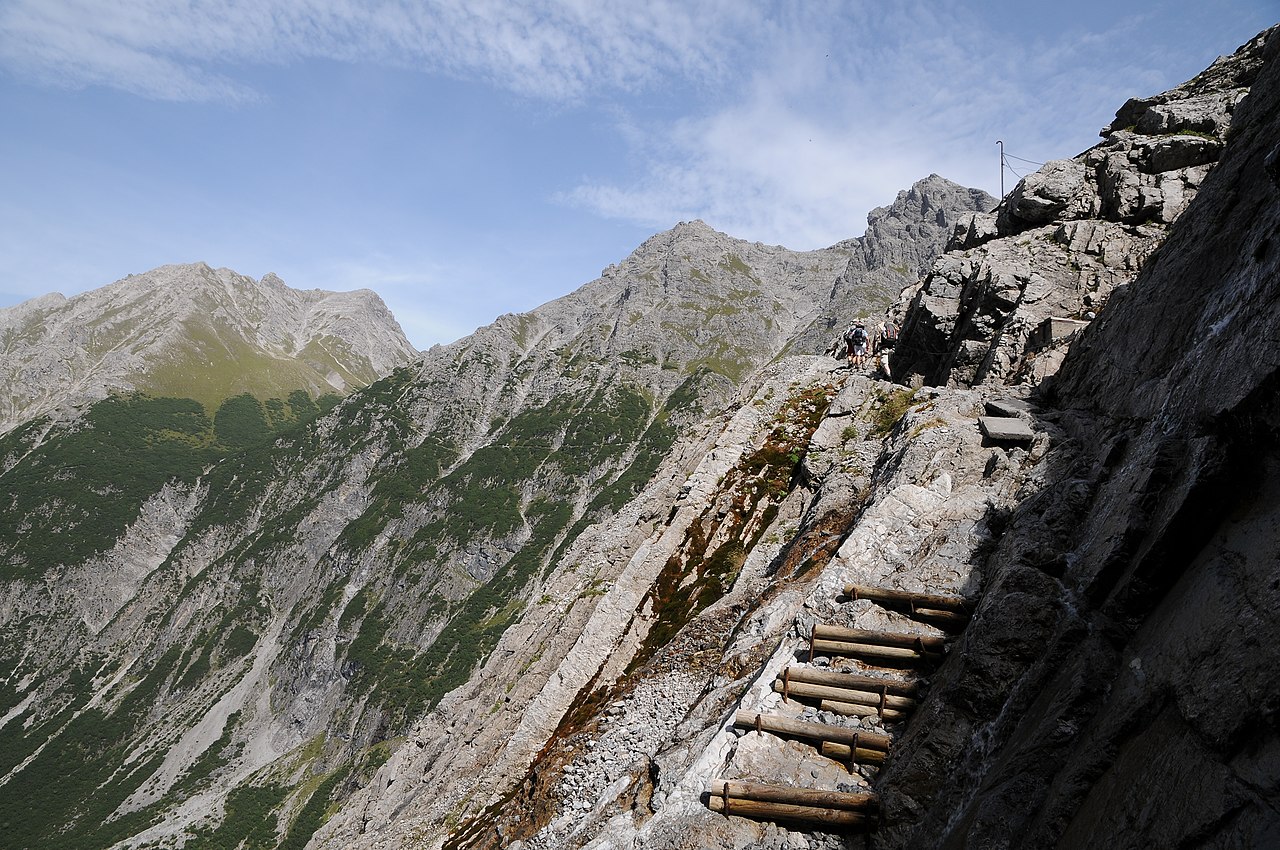
Deutsch: Blick vom "Bösen Tritt" (der Weg führt zum Lünersee) auf den Saulakopf 2.516m. |
Date | |
Source | Own work |
Author | böhringer friedrich |
Permission (Reusing this file) |
I, the copyright holder of this work, hereby publish it under the following license: This file is licensed under the Creative Commons Attribution-Share Alike 2.5 Generic license.
|
This Photo was taken by Böhringer Friedrich.
|
Feel free to use my photos, but please mention me as the author and if you want send me a message. or (rufre@lenz-nenning.at)
|
Camera location | 47° 03′ 40.96″ N, 9° 45′ 01.12″ E | View this and other nearby images on: OpenStreetMap | 47.061378; 9.750311 |
---|
Annotations InfoField | This image is annotated: View the annotations at Commons |
1201
896
43
43
4288
2848
Saulakopf
895
858
43
43
4288
2848
Zimba
166
912
43
43
4288
2848
Brandner Mittagsspitze
2814
1046
257
263
4288
2848
Wanderer
File history
Click on a date/time to view the file as it appeared at that time.
Date/Time | Thumbnail | Dimensions | User | Comment | |
---|---|---|---|---|---|
current | 20:01, 12 October 2011 | 4,288 × 2,848 (6.61 MB) | Böhringer (talk | contribs) | {{Information |Description= {{de| Blick vom "Bösen Tritt" (der Weg führt zum Lünersee) auf den Saulakopf 2.516m.}} |Source= {{Own}} |Date= 2011-09-03 |Author= böhringer friedrich |Permission={{self|cc-by-sa-2.5}} |
You cannot overwrite this file.
File usage on Commons
There are no pages that use this file.
Metadata
This file contains additional information such as Exif metadata which may have been added by the digital camera, scanner, or software program used to create or digitize it. If the file has been modified from its original state, some details such as the timestamp may not fully reflect those of the original file. The timestamp is only as accurate as the clock in the camera, and it may be completely wrong.
Camera manufacturer | NIKON CORPORATION |
---|---|
Camera model | NIKON D300S |
Copyright holder | Boehringer Friedrich |
Exposure time | 1/250 sec (0.004) |
F-number | f/8 |
Date and time of data generation | 15:25, 3 September 2011 |
Lens focal length | 16 mm |
Latitude | 47° 3′ 41.3″ N |
Longitude | 9° 45′ 0.47″ E |
Altitude | 1,870 meters above sea level |
Orientation | Normal |
Horizontal resolution | 300 dpi |
Vertical resolution | 300 dpi |
Software used | Ver.1.00 |
File change date and time | 15:25, 3 September 2011 |
Y and C positioning | Co-sited |
Exposure Program | Normal program |
Exif version | 2.21 |
Date and time of digitizing | 15:25, 3 September 2011 |
Meaning of each component |
|
Image compression mode | 4 |
APEX exposure bias | 0 |
Maximum land aperture | 3.6 APEX (f/3.48) |
Metering mode | Pattern |
Light source | Unknown |
Flash | Flash did not fire |
DateTime subseconds | 16 |
DateTimeOriginal subseconds | 16 |
DateTimeDigitized subseconds | 16 |
Supported Flashpix version | 1 |
Color space | sRGB |
Sensing method | One-chip color area sensor |
File source | Digital still camera |
Scene type | A directly photographed image |
Custom image processing | Normal process |
Exposure mode | Auto exposure |
White balance | Auto white balance |
Digital zoom ratio | 1 |
Focal length in 35 mm film | 24 mm |
Scene capture type | Standard |
Scene control | None |
Contrast | Normal |
Saturation | Normal |
Sharpness | Hard |
Subject distance range | Unknown |
GPS time (atomic clock) | 12:24 |
Satellites used for measurement | 06 |
Geodetic survey data used | WGS 84 |
GPS date | 3 September 2011 |
GPS tag version | 2.2.0.0 |