File:Aufnahmeblatt 4656-4c Ausschnitt Tulbing.jpg

Original file (684 × 681 pixels, file size: 238 KB, MIME type: image/jpeg)
Captions
Captions
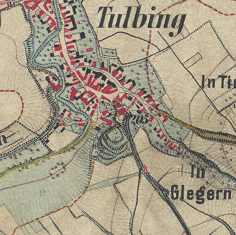
| Description | historische Landkarte: Gradkartenblatt Zone 12 Colonne XIV Section d3 (später 4656/4c). Königstetten, Chorherrn, Tulbing, Katzelsdorf, Nietzing, Kirchbach, Scheiblingstein im nordwestlichen Wienerwald bzw östlichen Tullnerfeld. Franzisco-josephinische (3.) Landesaufnahme der österreichisch-ungarischen Monarchie. Aufnahmeblatt 1:12.500. Aufgenommen 1872 |
| Date | |
| Source | |
| Author |
|
| This is a retouched picture, which means that it has been digitally altered from its original version. Modifications: Ausschnitt Tulbing. The original can be viewed here: Aufnahmeblatt 4656-4c Königstetten, Chorherrn.jpg:
|
|
This work is in the public domain in its country of origin and other countries and areas where the copyright term is the author's life plus 70 years or fewer.
| |
| This file has been identified as being free of known restrictions under copyright law, including all related and neighboring rights. | |
File history
Click on a date/time to view the file as it appeared at that time.
| Date/Time | Thumbnail | Dimensions | User | Comment | |
|---|---|---|---|---|---|
| current | 21:40, 26 March 2013 | | 684 × 681 (238 KB) | Der Arnobär! (talk | contribs) | {{Information |Description=historische Landkarte: Gradkartenblatt Zone 12 Colonne XIV Section d3 (später 4656/4c). Königstetten, Chorherrn, Tulbing, Katzelsdorf, Nietzing, Kirchbach, Scheiblingstein im nordwestlichen Wienerwald bzw östlichen Tullner... |
You cannot overwrite this file.
File usage on Commons
There are no pages that use this file.
File usage on other wikis
The following other wikis use this file:
- Usage on de.wikipedia.org