File:Assumption of the Virgin Mary Greek Orthodox Church Historical Marker.jpg
Jump to navigation
Jump to search
Size of this preview: 450 × 600 pixels. Other resolutions: 180 × 240 pixels | 360 × 480 pixels | 576 × 768 pixels | 768 × 1,024 pixels | 1,536 × 2,048 pixels | 3,036 × 4,048 pixels.
Original file (3,036 × 4,048 pixels, file size: 3.91 MB, MIME type: image/jpeg)
Captions
Captions
Add a one-line explanation of what this file represents
Summary
[edit]
| Description |
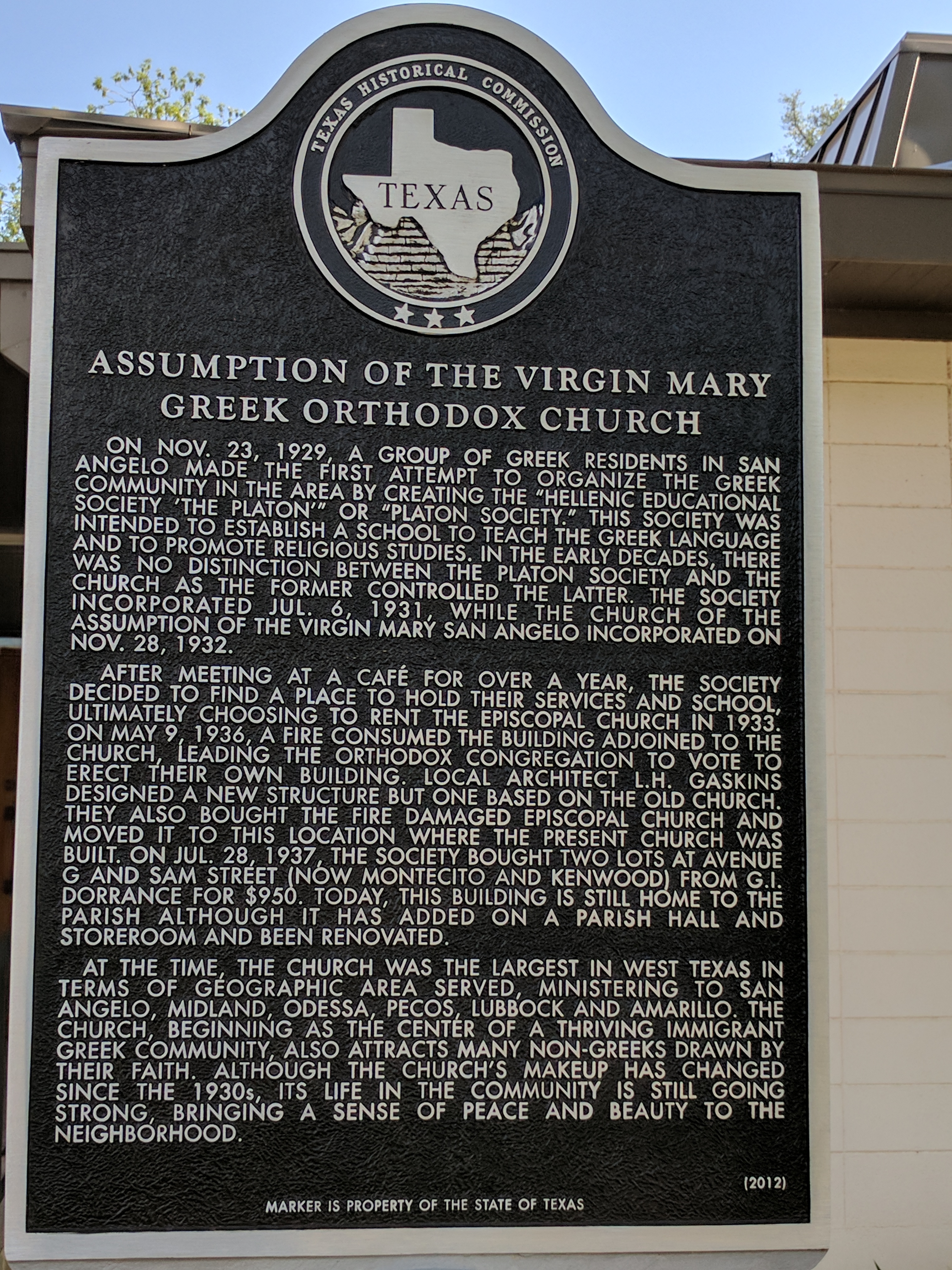
English: ON NOV. 23, 1929, A GROUP OF GREEK RESIDENTS IN SAN ANGELO MADE THE FIRST ATTEMPT TO ORGANIZE THE GREEK COMMUNITY IN THE AREA BY CREATING THE “HELLENIC EDUCATIONAL SOCIETY ‘THE PLATON’” OR “PLATON SOCIETY.” THIS SOCIETY WAS INTENDED TO ESTABLISH A SCHOOL TO TEACH THE GREEK LANGUAGE AND TO PROMOTE RELIGIOUS STUDIES. IN THE EARLY DECADES, THERE WAS NO DISTINCTION BETWEEN THE PLATON SOCIETY AND THE CHURCH AS THE FORMER CONTROLLED THE LATTER. THE SOCIETY INCORPORATED JUL. 6, 1931, WHILE THE CHURCH OF THE ASSUMPTION OF THE VIRGIN MARY SAN ANGELO INCORPORATED ON NOV. 28, 1932. AFTER MEETING AT A CAFÉ FOR OVER A YEAR, THE SOCIETY DECIDED TO FIND A PLACE TO HOLD THEIR SERVICES AND SCHOOL, ULTIMATELY CHOOSING TO RENT THE EPISCOPAL CHURCH IN 1933. ON MAY 9, 1936, A FIRE CONSUMED THE BUILDING ADJOINED TO THE CHURCH, LEADING THE ORTHODOX CONGREGATION TO VOTE TO ERECT THEIR OWN BUILDING. LOCAL ARCHITECT L.H. GASKINS DESIGNED A NEW STRUCTURE BUT ONE BASED ON THE OLD CHURCH. THEY ALSO BOUGHT THE FIRE DAMAGED EPISCOPAL CHURCH AND MOVED IT TO THIS LOCATION WHERE THE PRESENT CHURCH WAS BUILT. ON JUL. 28, 1937, THE SOCIETY BOUGHT TWO LOTS AT AVENUE G AND SAM STREET (NOW MONTECITO AND KENWOOD) FROM G.I. DORRANCE FOR $950. TODAY, THIS BUILDING IS STILL HOME TO THE PARISH ALTHOUGH IT HAS ADDED ON A PARISH HALL AND STOREROOM AND BEEN RENOVATED. AT THE TIME, THE CHURCH WAS THE LARGEST IN WEST TEXAS IN TERMS OF GEOGRAPHIC AREA SERVED, MINISTERING TO SAN ANGELO, MIDLAND, ODESSA, PECOS, LUBBOCK AND AMARILLO. THE CHURCH, BEGINNING AS THE CENTER OF A THRIVING IMMIGRANT GREEK COMMUNITY, ALSO ATTRACTS MANY NON-GREEKS DRAWN BY THEIR FAITH. ALTHOUGH THE CHURCH’S MAKEUP HAS CHANGED SINCE THE 1930s, ITS LIFE IN THE COMMUNITY IS STILL GOING STRONG, BRINGING A SENSE OF PEACE AND BEAUTY TO THE NEIGHBORHOOD. #17192 |
| Date | |
| Source | Own work |
| Author | Zoomie57 |
| Camera location | | View this and other nearby images on: OpenStreetMap |
|---|
801 Montecito, San Angelo, Texas
Licensing
[edit]
I, the copyright holder of this work, hereby publish it under the following license:
This file is licensed under the Creative Commons Attribution-Share Alike 4.0 International license.
- You are free:
- to share – to copy, distribute and transmit the work
- to remix – to adapt the work
- Under the following conditions:
- attribution – You must give appropriate credit, provide a link to the license, and indicate if changes were made. You may do so in any reasonable manner, but not in any way that suggests the licensor endorses you or your use.
- share alike – If you remix, transform, or build upon the material, you must distribute your contributions under the same or compatible license as the original.
File history
Click on a date/time to view the file as it appeared at that time.
| Date/Time | Thumbnail | Dimensions | User | Comment | |
|---|---|---|---|---|---|
| current | 23:53, 9 April 2017 | | 3,036 × 4,048 (3.91 MB) | Zoomie57 (talk | contribs) | User created page with UploadWizard |
You cannot overwrite this file.
File usage on Commons
There are no pages that use this file.