File:Assab map 1988.jpg
Jump to navigation
Jump to search
Size of this preview: 666 × 599 pixels. Other resolutions: 267 × 240 pixels | 533 × 480 pixels | 853 × 768 pixels | 1,120 × 1,008 pixels.
Original file (1,120 × 1,008 pixels, file size: 273 KB, MIME type: image/jpeg)
Captions
Captions
Add a one-line explanation of what this file represents
Summary
[edit]
| Description |
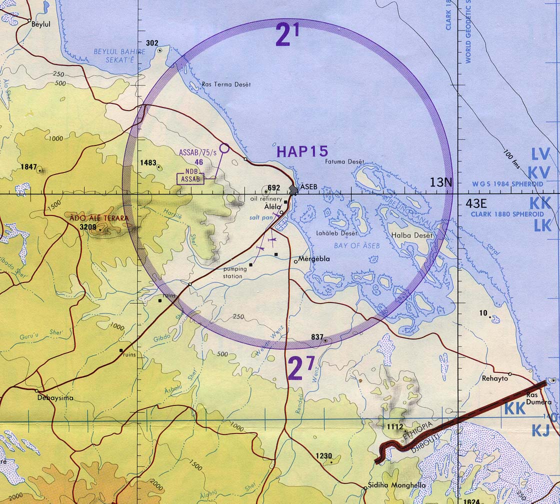
English: Map of Assab 1:500,000 made by Defense Mapping Agency, 1988
Italiano: Carta di Assab 1:500.000 della Defense Mapping Agency, 1988 |
| Date | |
| Source | https://www.lib.utexas.edu/maps/africa/assab_tpc88.jpg |
| Author | Defense Mapping Agency |
Licensing
[edit]

|
Permission is granted to copy, distribute and/or modify this document under the terms of the GNU Free Documentation License, Version 1.2 or any later version published by the Free Software Foundation; with no Invariant Sections, no Front-Cover Texts, and no Back-Cover Texts. A copy of the license is included in the section entitled GNU Free Documentation License. |
| This file is licensed under the Creative Commons Attribution-Share Alike 3.0 Unported license. | ||
| ||
| This licensing tag was added to this file as part of the GFDL licensing update. |
File history
Click on a date/time to view the file as it appeared at that time.
| Date/Time | Thumbnail | Dimensions | User | Comment | |
|---|---|---|---|---|---|
| current | 19:38, 24 May 2017 | | 1,120 × 1,008 (273 KB) | Rosa Mauro (talk | contribs) | {{Information |Description ={{en|1=Map of Assab 1:500,000 made by Defense Mapping Agency, 1988 }} {{it|1=Carta di Assab 1:500.000 della Defense Mapping Agency, 1988}} |Source =https://www.lib.utexas.edu/maps/africa/assab_tpc88.jpg |Author... |
You cannot overwrite this file.
File usage on Commons
There are no pages that use this file.