File:Asham Wharf - geograph.org.uk - 761294.jpg
Jump to navigation
Jump to search
No higher resolution available.
Asham_Wharf_-_geograph.org.uk_-_761294.jpg (640 × 479 pixels, file size: 82 KB, MIME type: image/jpeg)
Captions
Captions
Add a one-line explanation of what this file represents
Summary
[edit]
| Description |
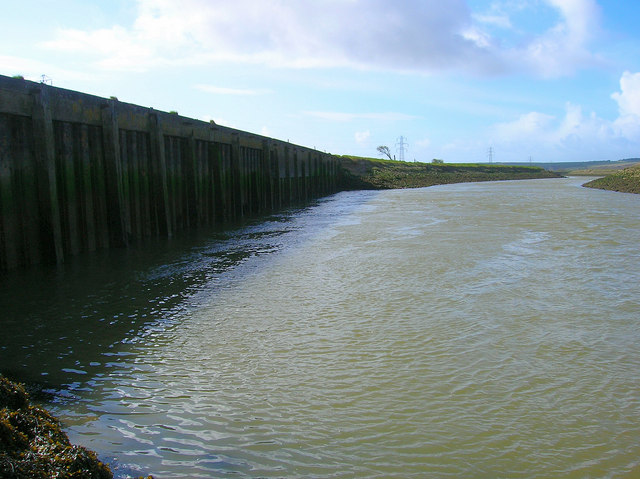
English: Asham Wharf Looking downstream from the disused wharf. Used between 1927-1967 when barges transported clay and coal to the wharf and cement from it. Despite being tidal the river wasn't the easiest to navigate and there was often very little spare draft for the barges. The wharf is also famous for being the site where the drowned body of Virginia Woolf was discovered in 1941 three weeks after she threw herself into the river. |
| Date | |
| Source | From geograph.org.uk |
| Author | Simon Carey |
| Attribution (required by the license) | Simon Carey / Asham Wharf / |
| Camera location | | View this and other nearby images on: OpenStreetMap |
|---|
_heading:157.00&language=en)
| Object location | | View this and other nearby images on: OpenStreetMap |
|---|
_heading:157.00&language=en)
Licensing
[edit]

|
This image was taken from the Geograph project collection. See this photograph's page on the Geograph website for the photographer's contact details. The copyright on this image is owned by Simon Carey and is licensed for reuse under the Creative Commons Attribution-ShareAlike 2.0 license.
|
This file is licensed under the Creative Commons Attribution-Share Alike 2.0 Generic license.
Attribution: Simon Carey
- You are free:
- to share – to copy, distribute and transmit the work
- to remix – to adapt the work
- Under the following conditions:
- attribution – You must give appropriate credit, provide a link to the license, and indicate if changes were made. You may do so in any reasonable manner, but not in any way that suggests the licensor endorses you or your use.
- share alike – If you remix, transform, or build upon the material, you must distribute your contributions under the same or compatible license as the original.
File history
Click on a date/time to view the file as it appeared at that time.
| Date/Time | Thumbnail | Dimensions | User | Comment | |
|---|---|---|---|---|---|
| current | 17:44, 19 February 2011 | | 640 × 479 (82 KB) | GeographBot (talk | contribs) | == {{int:filedesc}} == {{Information |description={{en|1=Asham Wharf Looking downstream from the disused wharf. Used between 1927-1967 when barges transported clay and coal to the wharf and cement from it. Despite being tidal the river wasn't the easiest |
You cannot overwrite this file.
File usage on Commons
There are no pages that use this file.