File:Aschau i. Chiemgau, OT Hohenaschau — unterhalb u. westl. Kampenwand-Gipfel (Möslarnalm).jpg
Jump to navigation
Jump to search

Size of this preview: 800 × 450 pixels. Other resolutions: 320 × 180 pixels | 640 × 360 pixels | 1,024 × 576 pixels | 1,280 × 720 pixels | 2,560 × 1,440 pixels | 5,312 × 2,988 pixels.
Original file (5,312 × 2,988 pixels, file size: 5.08 MB, MIME type: image/jpeg)
Captions
Captions
Add a one-line explanation of what this file represents
Summary
[edit].jpg&action=edit§ion=1)
| Description |
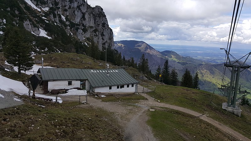
Deutsch: Möslarnalm, unterhalb und westlich des Gipfels der Kampenwand, Höhe ca. 1550 m üNN |
| Date | Taken on 13 May 2017 |
| Source | Self-photographed |
| Author | User:Mattes |
| Camera location | | View this and other nearby images on: OpenStreetMap |
|---|
.jpg¶ms=047.753353_N_0012.350417_E_globe:Earth_type:camera_scale:3125_&language=en)
![]() OK
OK
Licensing
[edit].jpg&action=edit§ion=2)
| I, the copyright holder of this work, release this work into the public domain. This applies worldwide. In some countries this may not be legally possible; if so: I grant anyone the right to use this work for any purpose, without any conditions, unless such conditions are required by law. |
|
The photographical reproduction of this work is covered under the article § 59 of the German copyright law, which states that "It shall be permissible to reproduce, by painting, drawing, photography or cinematography, works which are permanently located on public ways, streets or places and to distribute and publicly communicate such copies. For works of architecture, this provision shall be applicable only to the external appearance."
As with all other “limits of copyright by legally permitted uses”, no changes to the actual work are permitted under § 62 of the German copyright law (UrhG). See Commons:Copyright rules by territory/Germany#Freedom of panorama for more information.
|
This photograph was taken with a Samsung Galaxy S6
File history
Click on a date/time to view the file as it appeared at that time.
| Date/Time | Thumbnail | Dimensions | User | Comment | |
|---|---|---|---|---|---|
| current | 18:38, 14 May 2017 | | 5,312 × 2,988 (5.08 MB) | Mattes (talk | contribs) | == {{int:filedesc}} == {{Information |Description={{Loc desc}} {{DEU}} > {{Bavaria}} > Landkreis Rosenheim > Aschau i. Chiemgau > Ortsteil Hohenaschau > Kampenwand {{de|Möslarnalm, unterhalb und westlich des Gipfels des Kampenwand-Gipfels, Höhe ca. 1... |
You cannot overwrite this file.
File usage on Commons
The following 2 pages use this file:
.jpg&oldid=793321990)