File:Arrhenius crater.jpg
Jump to navigation
Jump to search
Size of this preview: 800 × 366 pixels. Other resolutions: 320 × 147 pixels | 640 × 293 pixels | 1,024 × 469 pixels | 1,920 × 879 pixels.
Original file (1,920 × 879 pixels, file size: 392 KB, MIME type: image/jpeg)
Captions
Captions
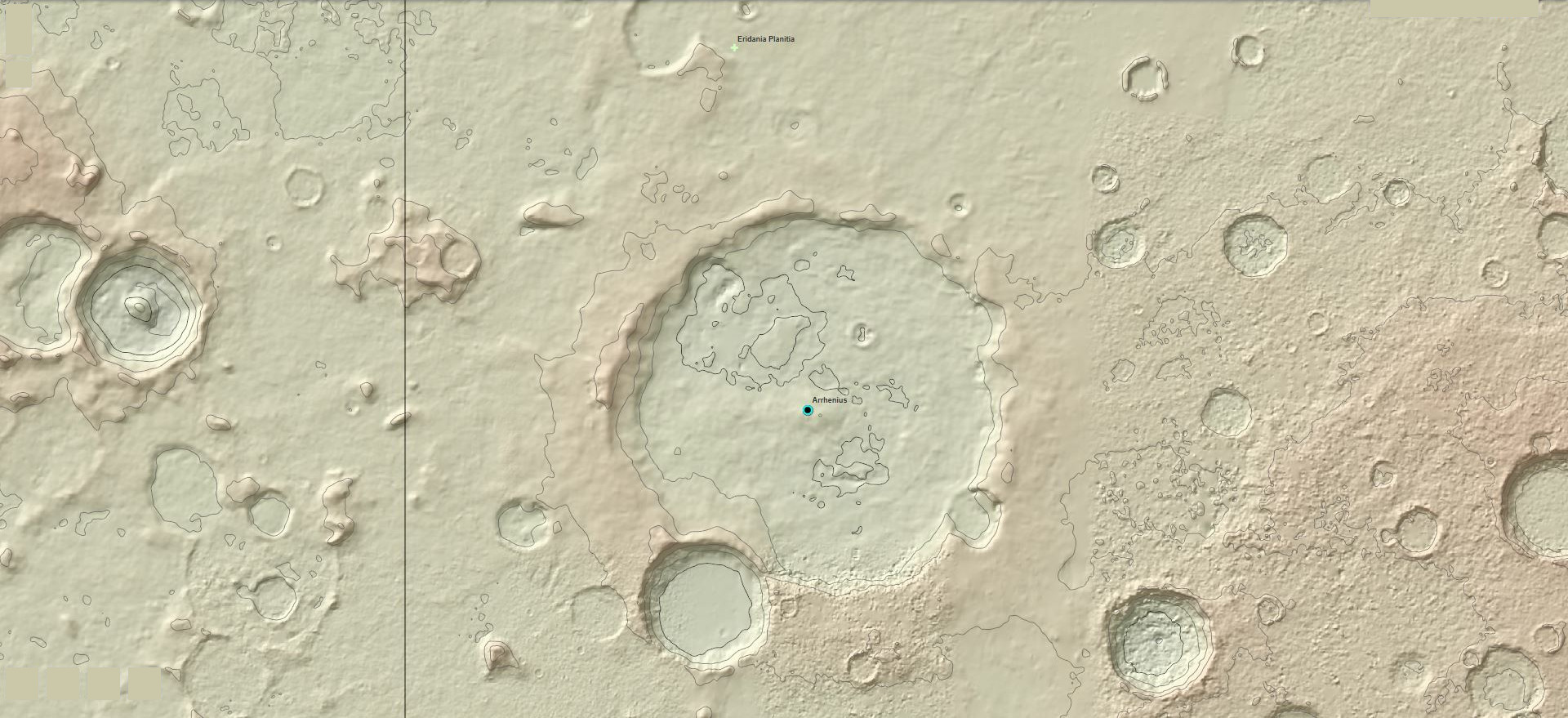
A topgraphic map view of Arrhenius Crater on Mars
Summary
[edit]
| Description |
English: This topographic map is made from Redmapper's online global map of mars. Black elevation lines are 500 meters and dashed lines are 100 meters.
Español: Este mapa topográfico está hecho del mapa global de Marte en línea de Redmapper. Las líneas negras de elevación son 500 metros y las líneas discontinuas son 100 metros. |
| Date | |
| Source | Own work |
| Author | Mtraynier |
Licensing
[edit]
I, the copyright holder of this work, hereby publish it under the following license:
This file is licensed under the Creative Commons Attribution-Share Alike 4.0 International license.
- You are free:
- to share – to copy, distribute and transmit the work
- to remix – to adapt the work
- Under the following conditions:
- attribution – You must give appropriate credit, provide a link to the license, and indicate if changes were made. You may do so in any reasonable manner, but not in any way that suggests the licensor endorses you or your use.
- share alike – If you remix, transform, or build upon the material, you must distribute your contributions under the same or compatible license as the original.
File history
Click on a date/time to view the file as it appeared at that time.
| Date/Time | Thumbnail | Dimensions | User | Comment | |
|---|---|---|---|---|---|
| current | 03:34, 27 April 2023 | | 1,920 × 879 (392 KB) | Jstuby (talk | contribs) | crop, blank buttons |
| 00:05, 1 June 2019 |  | 1,920 × 918 (280 KB) | Mtraynier (talk | contribs) | User created page with UploadWizard |
You cannot overwrite this file.
File usage on Commons
The following 2 pages use this file:
File usage on other wikis
The following other wikis use this file:
- Usage on es.wikipedia.org
- Usage on fr.wikipedia.org
- Usage on id.wikipedia.org
- Usage on it.wikipedia.org
- Usage on pt.wikipedia.org
- Usage on www.wikidata.org
- Usage on zh.wikipedia.org