File:Area of Modern Yarkon Park, as shown in the Map Jaffa Tel Aviv Compiled, drawn and printed by the Survey of Palestine 1944 2366983 (cropped).jpg
Jump to navigation
Jump to search

Size of this preview: 800 × 381 pixels. Other resolutions: 320 × 152 pixels | 640 × 305 pixels | 1,024 × 488 pixels | 1,280 × 609 pixels | 2,560 × 1,219 pixels | 5,589 × 2,661 pixels.
Original file (5,589 × 2,661 pixels, file size: 3.42 MB, MIME type: image/jpeg)
Captions
Captions
Add a one-line explanation of what this file represents
Summary
[edit]| Description |
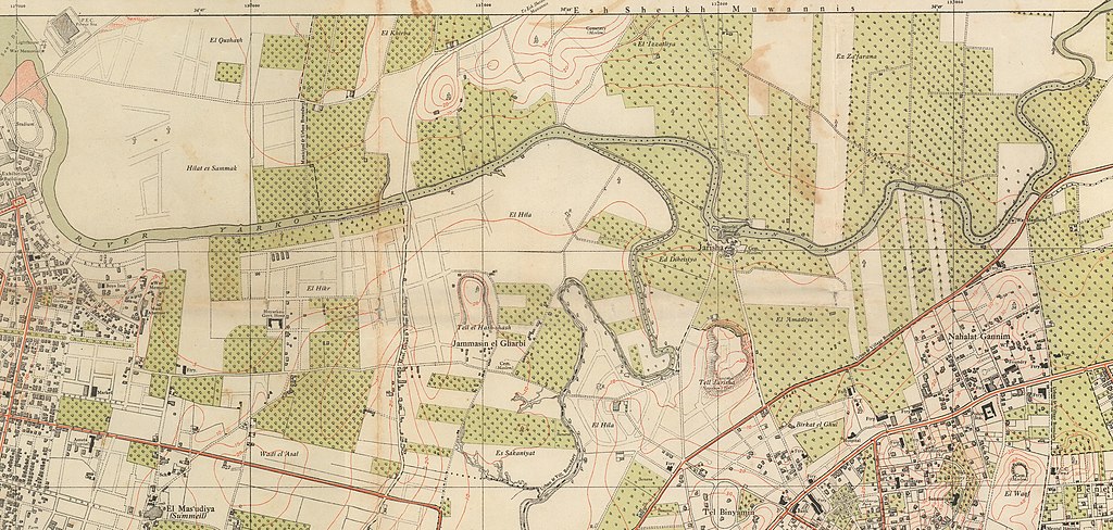
English: Map of Jaffa - Tel Aviv; Compiled, drawn & printed by the Survey of Palestine 1944
עברית: מפת יפו-תל אביב, נוצרה ב- 1944 ע"י Survey of Palestine |
|||
| Date | ||||
| Source |
|
|||
| Author | Survey of Palestine | |||
| Other versions |


.jpg&action=edit§ion=1)
Licensing
[edit].jpg&action=edit§ion=2)
This work created by the United Kingdom Government is in the public domain.
This is because it is one of the following:
HMSO has declared that the expiry of Crown Copyrights applies worldwide (ref: HMSO Email Reply)
|
 |
File history
Click on a date/time to view the file as it appeared at that time.
| Date/Time | Thumbnail | Dimensions | User | Comment | |
|---|---|---|---|---|---|
| current | 04:00, 23 April 2022 | | 5,589 × 2,661 (3.42 MB) | Onceinawhile (talk | contribs) | File:Map Jaffa Tel Aviv Compiled, drawn and printed by the Survey of Palestine 1944 2366983.jpg cropped 39 % horizontally, 65 % vertically using CropTool with precise mode. |
You cannot overwrite this file.
File usage on Commons
The following 4 pages use this file:
File usage on other wikis
The following other wikis use this file:
- Usage on en.wikipedia.org
.jpg&oldid=801154013)