File:Arch Lake sand 2009.jpg
Jump to navigation
Jump to search

Size of this preview: 800 × 522 pixels. Other resolutions: 320 × 209 pixels | 640 × 417 pixels | 1,024 × 668 pixels | 1,280 × 834 pixels | 3,022 × 1,970 pixels.
Original file (3,022 × 1,970 pixels, file size: 2.35 MB, MIME type: image/jpeg)
Captions
Captions
Add a one-line explanation of what this file represents
Summary
[edit]
| Description |
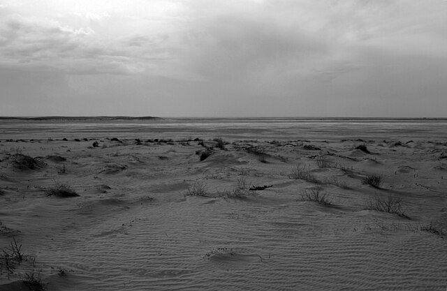
English: Sand deflated from the surface of Arch Lake and deposited at the northeast fringe of the playa, Grulla National Wildlife Refuge, Roosevelt County, New Mexico. |
| Date | |
| Source | Own work |
| Author | Leaflet |
| Other versions |
  |
| Camera location | | View this and other nearby images on: OpenStreetMap |
|---|
Licensing
[edit]
| I, the copyright holder of this work, release this work into the public domain. This applies worldwide. In some countries this may not be legally possible; if so: I grant anyone the right to use this work for any purpose, without any conditions, unless such conditions are required by law. |
File history
Click on a date/time to view the file as it appeared at that time.
| Date/Time | Thumbnail | Dimensions | User | Comment | |
|---|---|---|---|---|---|
| current | 16:06, 1 November 2009 | | 3,022 × 1,970 (2.35 MB) | Leaflet (talk | contribs) | {{Information |Description={{en|1=Sand deflated from the surface of Arch Lake deposited at the northeast fringe of the playa.}} |Source={{own}} |Author=Leaflet |Date=2009-03-20 |Permission= |other_versions=http://www.panoramio.com/photo/2 |
You cannot overwrite this file.
File usage on Commons
There are no pages that use this file.