File:Arad Josephinische Landesaufnahme pg25-29.jpg
Jump to navigation
Jump to search

Size of this preview: 800 × 540 pixels. Other resolutions: 320 × 216 pixels | 640 × 432 pixels | 1,024 × 691 pixels | 1,280 × 864 pixels | 2,560 × 1,728 pixels | 8,555 × 5,775 pixels.
Original file (8,555 × 5,775 pixels, file size: 28.36 MB, MIME type: image/jpeg)
Captions
Captions
Add a one-line explanation of what this file represents
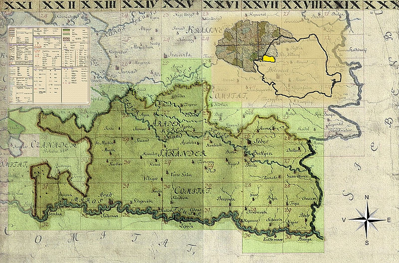
| Name shown on the map Nume din hartă |
Administrative unit Unitate administrativă |
Romanian name Numele românesc |
Hungarian name Numele unguresc |
German name Numele german |
Country today Ţara de astăzi |
|---|---|---|---|---|---|
| Agris | Arad Arad vármegye Comitatul Arad Komitat Arad |
Agrişu Mare | Almásegres, Ágris, Alsóegregy, Alegregy, Felsőegregy | Romania | |
| Almás | Arad | Almaş | Háromalmás, Alsóalmás, Felsőalmás, Kisalmás, Nagyalmás, Almás | Almasch | Romania |
| Aranÿ Ag | Arad | Arăneag | Székesaranyág, Alsóaranyág, Felsőaranyág, Medvésaranyág, Aranyág | Romania | |
| Draucz | Arad | Drauţ | Doroszlófalva | Drauz | Romania |
| Magÿarad | Arad | Măderat | Magyarád | Romania | |
| Muska | Arad | Mâsca | Muszka | Romania | |
| Pankotta | Arad | Pâncota | Pankota | Pankota | Romania |
| Ternava | Arad | Târnova [Tărnova, Spineni] | Tornova, Alsótornova, Ternova, Eperjes | Romania | |
| Varos Galsa | Arad | Galşa | Galsa | Galscha | Romania |
| Varos Vilaágos | Arad | Şiria | Világos | Hellburg, Schiria [in Arader Land] | Romania |
Summary
[edit]
| Description |
English: Arad County, 1782-85. Josephinische Landesaufnahme pg.25-29 |
||||
| Date | between 1782 and 1785 | ||||
| Source | Österreichisches Staatsarchiv, Kriegsarchiv | ||||
| Author | Historische Militärkarte der österreichisch-ungarischen Monarchie | ||||
| Permission (Reusing this file) |
|
||||
Clickable Map of the Arad County
[edit]
File history
Click on a date/time to view the file as it appeared at that time.
| Date/Time | Thumbnail | Dimensions | User | Comment | |
|---|---|---|---|---|---|
| current | 07:35, 1 April 2010 | | 8,555 × 5,775 (28.36 MB) | Asybaris01 (talk | contribs) | {{Information |Description={{ro|1=Arad Josephinische Landesaufnahme pg25-29}} |Source={{own}} |Author=Asybaris01 |Date=1782-1785 |Permission= |other_versions= }} Category:Josephinische Landaufnahme |
You cannot overwrite this file.
File usage on Commons
The following page uses this file:
File usage on other wikis
The following other wikis use this file:
- Usage on arz.wikipedia.org
- Usage on de.wikipedia.org
- Usage on eo.wikipedia.org
- Usage on hu.wikipedia.org
- Usage on pt.wikipedia.org
- Usage on ro.wikipedia.org
- Usage on sr.wikipedia.org
- Usage on tt.wikipedia.org
- Usage on www.wikidata.org