File:AqabaIntlMap.png
Jump to navigation
Jump to search

Size of this preview: 290 × 598 pixels. Other resolutions: 116 × 240 pixels | 233 × 480 pixels | 372 × 768 pixels | 1,273 × 2,625 pixels.
Original file (1,273 × 2,625 pixels, file size: 446 KB, MIME type: image/png)
Captions
Captions
Add a one-line explanation of what this file represents
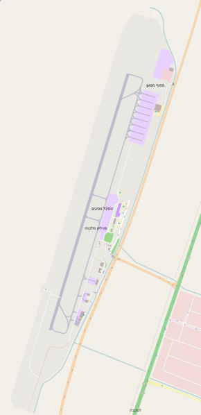
| Description | King Hussein International Airport map |
| Date | |
| Source | Own work after http://www.openstreetmap.org |
| Author | Ori~ |
| Permission (Reusing this file) |
Map data © OpenStreetMap contributors, CC-BY-SA |
This file is licensed under the Creative Commons Attribution-Share Alike 2.0 Generic license.
- You are free:
- to share – to copy, distribute and transmit the work
- to remix – to adapt the work
- Under the following conditions:
- attribution – You must give appropriate credit, provide a link to the license, and indicate if changes were made. You may do so in any reasonable manner, but not in any way that suggests the licensor endorses you or your use.
- share alike – If you remix, transform, or build upon the material, you must distribute your contributions under the same or compatible license as the original.
File history
Click on a date/time to view the file as it appeared at that time.
| Date/Time | Thumbnail | Dimensions | User | Comment | |
|---|---|---|---|---|---|
| current | 20:25, 23 August 2014 | | 1,273 × 2,625 (446 KB) | Ori~ (talk | contribs) | ED |
| 20:49, 28 November 2012 |  | 811 × 1,280 (158 KB) | Ori~ (talk | contribs) | {{Information |Description=King Hussein International Airport map |Source={{own}} after http://www.openstreetmap.org |Date=2011-11-28 |Author= Ori~ |Permission=Map data © [http://www.openstreetmap.org/ OpenStreetMap contributors], CC-BY-... |
You cannot overwrite this file.
File usage on Commons
The following page uses this file:
File usage on other wikis
The following other wikis use this file:
- Usage on en.wikipedia.org
- Usage on he.wikipedia.org
- Usage on mni.wikipedia.org
- Usage on ru.wikipedia.org