File:Approche 1597.png
Jump to navigation
Jump to search
No higher resolution available.
Approche_1597.png (640 × 480 pixels, file size: 653 KB, MIME type: image/png)
Captions
Captions
Add a one-line explanation of what this file represents
Summary
[edit]
| Description |
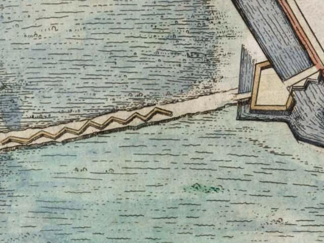
English: Part of map of the capture of Breevoort (Bredevoort) in 1597 by Maurice of Orange. Left page of the Atlas van Loon/Tonneel der Steeden, without the map of Bredevoort in 1649.
Nederlands: Detail van kaart van de inname van Breevoort (Bredevoort) in 1597 door Maurits van Oranje. Linkerpagina van de Atlas van Loon, zonder situatie Bredevoort 1649 |
| Date | |
| Source | Atlas van Loon |
| Author | J.Blaeu |
Licensing
[edit]
|
This work is in the public domain in its country of origin and other countries and areas where the copyright term is the author's life plus 100 years or fewer. | |
| This file has been identified as being free of known restrictions under copyright law, including all related and neighboring rights. | |
File history
Click on a date/time to view the file as it appeared at that time.
| Date/Time | Thumbnail | Dimensions | User | Comment | |
|---|---|---|---|---|---|
| current | 06:41, 3 May 2010 | | 640 × 480 (653 KB) | Arch (talk | contribs) | {{Information |Description={{en|1=Part of map of the capture of Breevoort (Bredevoort) in 1597 by Maurice of Orange. Left page of the Atlas van Loon/Tonneel der Steeden, without the map of Bredevoort in 1649.}} {{nl|1=Detail van kaart van de inname van Br |
You cannot overwrite this file.
File usage on Commons
There are no pages that use this file.
File usage on other wikis
The following other wikis use this file:
- Usage on de.wikipedia.org
- Usage on fr.wikipedia.org
- Usage on nl.wikipedia.org
- Usage on ru.wikipedia.org