File:Aokaparangi Bivy.jpg
Jump to navigation
Jump to search
Size of this preview: 800 × 600 pixels. Other resolutions: 320 × 240 pixels | 640 × 480 pixels | 1,024 × 768 pixels | 1,280 × 960 pixels | 2,048 × 1,536 pixels.
Original file (2,048 × 1,536 pixels, file size: 701 KB, MIME type: image/jpeg)
Captions
Captions
Add a one-line explanation of what this file represents
| Description |
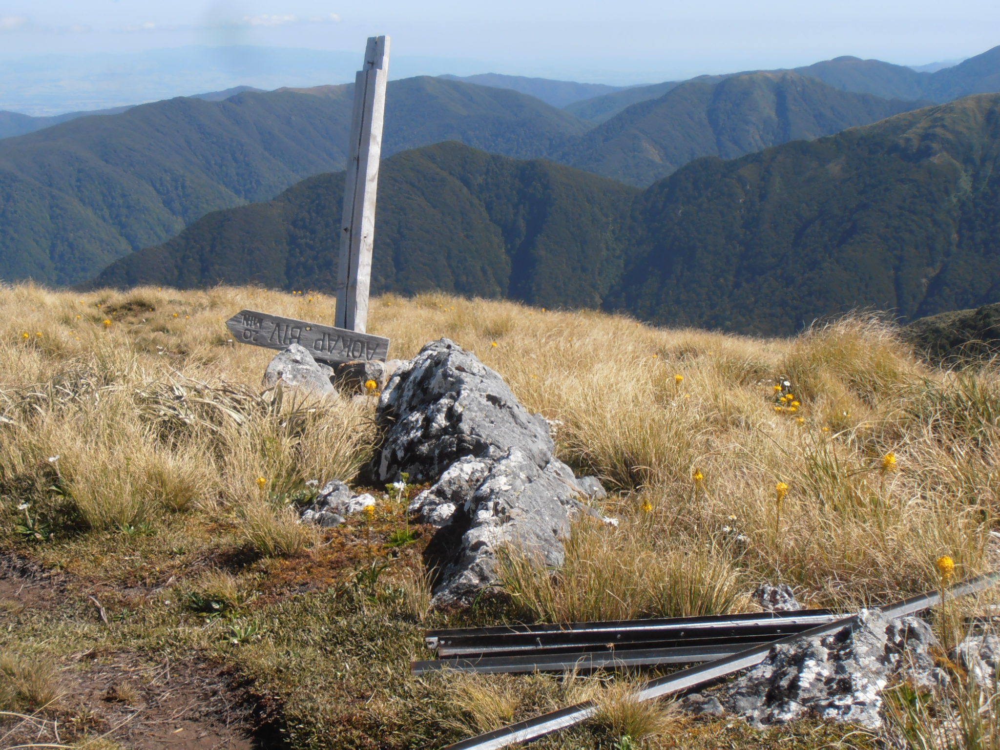
English: On the Tararua Main Range, a broken sign leads downhill to the Aokaparangi Bivouac. The picture shows also some Waratahs, and Maori Onion orchids in the tussock. |
| Date | |
| Source | Own work |
| Author | Sarang |
| Object location | | View this and other nearby images on: OpenStreetMap |
|---|
Summary
[edit]
| I, the copyright holder of this work, release this work into the public domain. This applies worldwide. In some countries this may not be legally possible; if so: I grant anyone the right to use this work for any purpose, without any conditions, unless such conditions are required by law. |
File history
Click on a date/time to view the file as it appeared at that time.
| Date/Time | Thumbnail | Dimensions | User | Comment | |
|---|---|---|---|---|---|
| current | 13:55, 8 August 2021 | | 2,048 × 1,536 (701 KB) | Sarangbot (talk | contribs) | {{Information |Description={{en|On the Tararua Main Range, a broken sign leads downhill to the '''Aokaparangi Bivouac'''.<br> The picture shows also some {{C|Category:Waratah (steel fence posts)|Waratah}}s, and {{C|Bulbinella triquetra|Maori Onion}} orchids in the {{C|Poaceae of New Zealand|tussock}}.}} |Date=2016-01-05 |Source={{own}} |Author={{U|Sarang}} }} {{Object location|40°53′26.7″S 175°21′17.1″E|dim:360}} == {{int:filedesc}} == {{PD-self}} Category:Tararua Main Range [[Category:W... |
You cannot overwrite this file.
File usage on Commons
The following page uses this file: