File:Ang Mo Kio Planning Area locator map.png
Jump to navigation
Jump to search
No higher resolution available.
Ang_Mo_Kio_Planning_Area_locator_map.png (800 × 428 pixels, file size: 119 KB, MIME type: image/png)
Captions
Captions
Add a one-line explanation of what this file represents
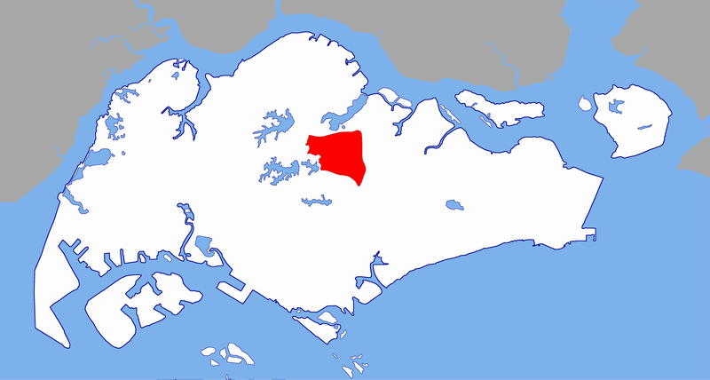
Boundary used:
- SLE
- CTE
- ang mo kio ave 1
- old upper cres thomson
- old upper thomson rd
Created by Vsion
This file is licensed under the Creative Commons Attribution-Share Alike 2.5 Generic license.
- You are free:
- to share – to copy, distribute and transmit the work
- to remix – to adapt the work
- Under the following conditions:
- attribution – You must give appropriate credit, provide a link to the license, and indicate if changes were made. You may do so in any reasonable manner, but not in any way that suggests the licensor endorses you or your use.
- share alike – If you remix, transform, or build upon the material, you must distribute your contributions under the same or compatible license as the original.
File history
Click on a date/time to view the file as it appeared at that time.
| Date/Time | Thumbnail | Dimensions | User | Comment | |
|---|---|---|---|---|---|
| current | 06:08, 18 August 2005 | | 800 × 428 (119 KB) | Vsion (talk | contribs) | Created by Vsion {{cc-by-sa-2.5}} Category:Singapore places locator maps |
You cannot overwrite this file.
File usage on Commons
There are no pages that use this file.
File usage on other wikis
The following other wikis use this file:
- Usage on en.wikipedia.org
- Usage on fa.wikipedia.org
- Usage on id.wikipedia.org
- Usage on mr.wikipedia.org
- Usage on zh.wikipedia.org